Good afternoon, everybody. It’s a very nice day out there, but things go downhill very quickly tonight into Sunday as a strong low pressure works into the region. This brings some serious wind and heavy rains to the entire region.
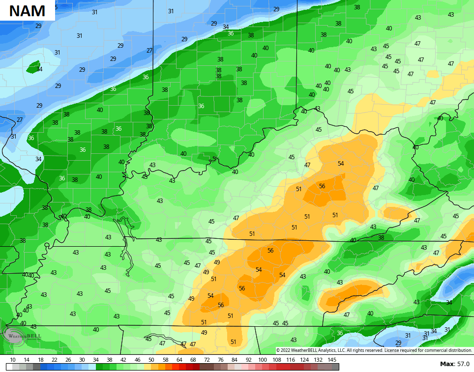
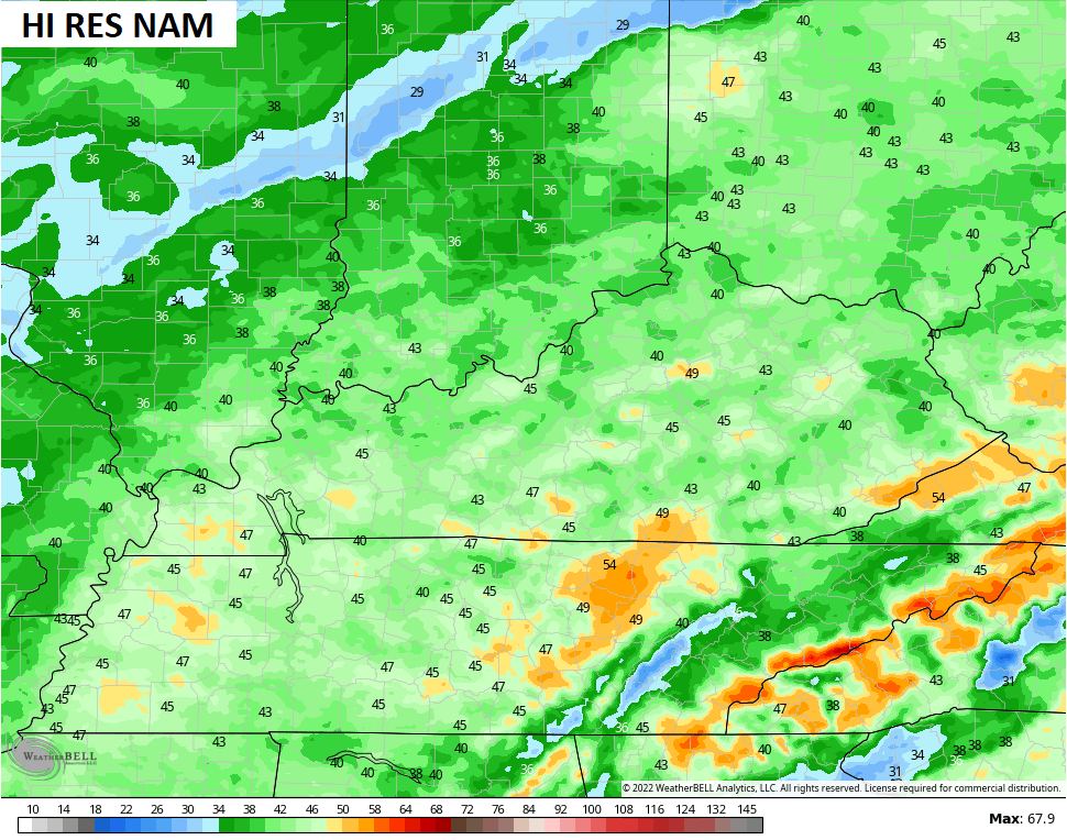
Check out the future radar from the Hi Res NAM from 7pm this evening through 7pm Sunday…

Local 1″ rains will be possible, with most folks picking up a third to half inch or so.
Winds are the main player and could gust to between 40mph and 50mph. Some of the models continue to spotlight areas of 50mph+…
Obviously, those kind of winds could cause a few power hits and minor damage.
Temps turn chilly late Sunday into Monday as lingering showers hang around.
Our next system continues to take aim at the region from late Tuesday through Wednesday night. This continues to look like a shower and thunderstorm maker as a powerful cold front sweeps in. Some of those storms could be strong in the west. Winds will also be a big time player and may approach levels we see tonight and Sunday.
Cold air crashes in with the chance for a few flakes behind this front. Check out a few of the models…
GFS

CANADIAN
Talk about a slap to the face… Check out how quickly our temps drop on Wednesday. Our “feels like” numbers go from the 60s to the 20s in a few hours with teens showing up just after that…

That’s how we are gonna start the month of December. The month is likely to start active with several systems moving in as we see some big temp fluctuations before the cold takes hold in the middle of the month.
I will have another update later today, so check back. Here are your radars to track the rain in from the southwest…

Enjoy the afternoon and take care.
