Good evening, everyone. Winds are slowly coming down as chilly air presses in from the northwest. Lingering showers will be noted into Monday as we get set for another big storm system by Tuesday and Wednesday. That one brings wind and strong storms.
Before we get to the week ahead breakdown, here are your radars to follow the scattered showers out there this evening…

Let’s break it down:
- Monday features a shower or two in the morning with lingering clouds trying to break by the afternoon. Temps are in the 40s.
- Tuesday turns active as southwest winds increase, boosting temps into the 60s. Late day showers and storms develop in the west and roll east.
- The threat for strong to severe storms is with us across western Kentucky late Tuesday and Tuesday night. That line should weaken as it moves to the east, but some strong storms may survive into central Kentucky.
- With or without thunderstorms, winds may gust between 40mph and 50mph at times.
- Much colder air crashes in quickly from west to east Wednesday. Highs come before sunrise for many with temps falling all day long after that. Winds will make it feel much colder with afternoon wind chills in the 20s and then teens by late evening. There’s also a small chance for a few flakes on the back edge of the rain shield.
- Thursday looks seasonably cold to start the month of December. Lows are around 20 with highs in the upper 20s to low 30s. Wind chills are colder.
- Friday features a cold start with a nice bounce back in the afternoon.
BONUS
- Next weekend will find a cold front dropping in from the northwest with the chance for showers. Will have to watch for the chance for a front checking up with a bigger storm system
Ok, let’s talk more about the setup for Tuesday and Wednesday. The Storm Prediction Center continues with a severe weather risk across western Kentucky for Tuesday…

Check out the lightning forecast from the EURO for Tuesday afternoon and night…

That’s a lot of lightning to our south and that’s where the absolutely biggest threat for severe weather will be.
The temp crash on Wednesday continues to look pretty awesome. Feels like temps from 7am Wednesday through 7am Thursday on the EURO…

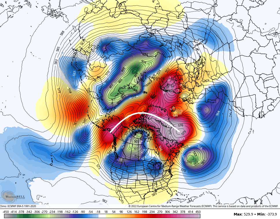
As we look longer range toward the second week of December, the cold continues to show up very well on the various ensembles…
CANADIAN

GFS

The operational models are seeing the blocking, too. Check out the EURO hooking up those blocks over the top…