Good Monday, everybody. We are getting ready to flip the calendar from November to December and we have a wild weather ride as we do so. Another big storm system may bring strong storms before a big temp crash. This continues to be part of an active setup ready to unleash some serious cold in the next few weeks.
Let’s begin with today and roll forward.
Low clouds and lingering showers continue across central and eastern Kentucky. Temps are chilly, even with some afternoon clearing taking place. Your Kentucky radars are on duty to track the light showers out of town…

Let’s get to the storm system ahead. Here’s the breakdown:
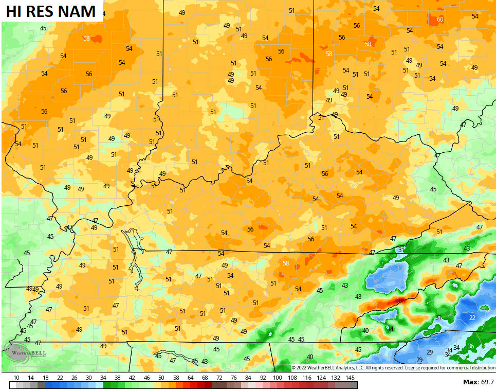
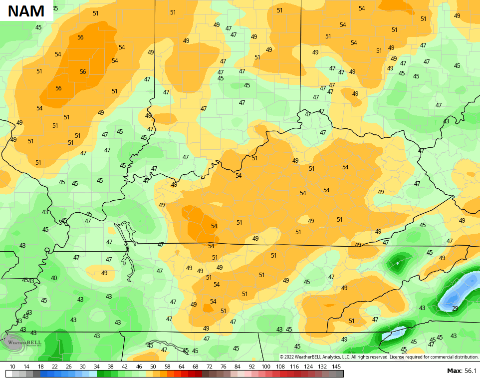
- Strong low pressure moves from the Plains to the Great Lakes Tuesday into Wednesday and drags a potent cold front across Kentucky.
- Southwest winds kick up on Tuesday as temps spike into the 60s.
- Showers and storms increase across the west by Tuesday afternoon and evening and some of those storms could be strong or severe.
- Damaging winds will be the primary threat as the storms weaken the farther east they get Tuesday night and early Wednesday.
- Our cold front races across the state early Wednesday with crashing temps behind it. Temps ahead of the front are in the 60s, but drop into the 30s behind the front.
- Gusty winds will continue Wednesday night as temps drop toward 20 by the first morning of December. Wind chills will be in the low and middle teens.
- The rest of the first day of December looks seasonably cold with highs in the upper 30s to low 40s.
As mentioned, the threat for severe weather is there across the western half of the state Tuesday and Tuesday night. Here’s the Severe Weather Outlook from the Storm Prediction Center…

Areas from west Tennessee into the lower Mississippi Valley are in line for a possible significant severe weather event with this.
Wind gusts around here may be similar to what we just had on Sunday, but a few models are showing widespread gusts of 50mph or greater…
Temps rebound into the upper 40s and low 50s by Friday as clouds increase ahead of a weekend cold front. That front slides in with the potential for this thing to slow down, leading to waves of rain moving through here…

That’s a setup to watch as, for a time, we are sandwiched between a southeast ridge and the approaching cold pattern pressing in from the north.
Speaking of that colder pattern, it continues to show up well on the ensembles…

I still don’t think that’s the real deal cold I’ve been talking about. I think that comes mid month and beyond, but that’s a good start. 😁
I will have updates later today, so check back. Make it a good one and take care.

wake up america!!!! this is earl ritz.
Did I miss the winter forecast? Which blog post was it?
Over the past few days, the Storm Prediction Center has been steadily expanding the threat area to the north and east. What worries me is that a 120 to 140 mph mid-level jet stream is forecasted to be over western and west-central KY on Wednesday, creating an environment that favors the development of supercells. Even though north-western Mississippi is most at risk right now, these conditions are eerily similar to those in place in mid-December of 2021.