Good evening, folks. It’s a crisp end to the month of November and we are rolling into December with a seasonable brand of cold. As this shot of cold fades, we continue to focus on a couple of systems set to impact us this weekend. Down the road, I continue to see a full blown winter pattern taking shape.
The first system arrives in the form of a cold front Friday night. Clouds and wind will increase ahead of this on Friday as a few showers show up from west to east. The rain chances reach the peak Friday night and Saturday morning as the front slams through here…

Winds are a big issue with this as gusts likely reach 40mph-50mph once again…
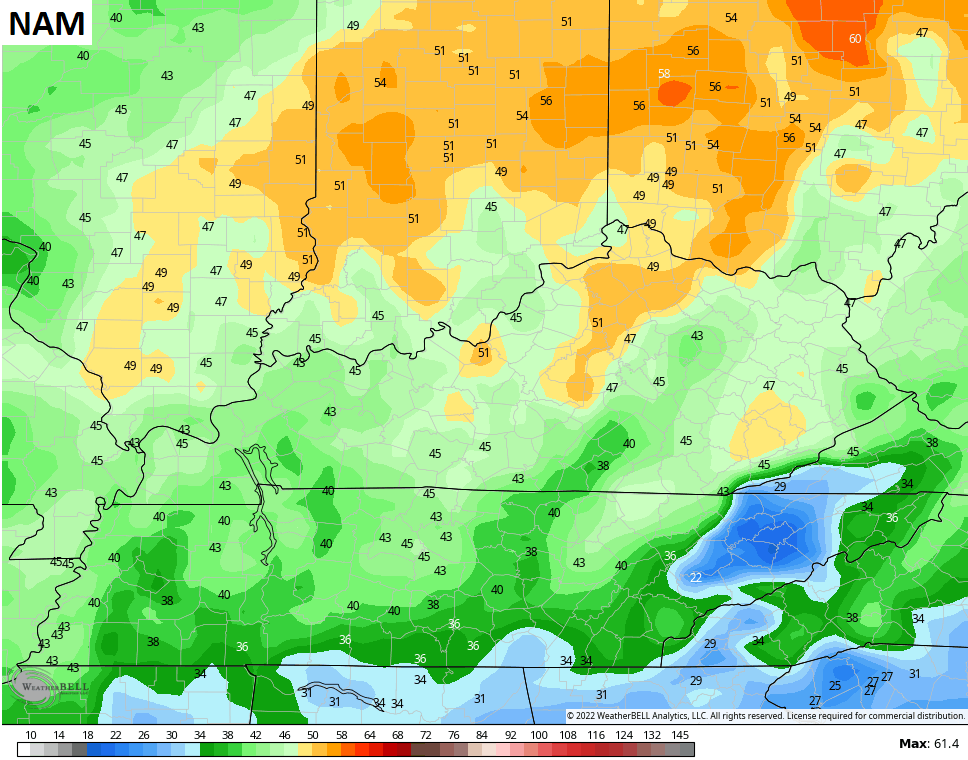
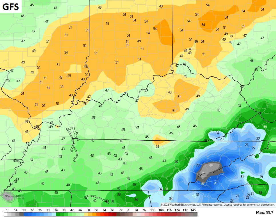
Temps crash behind the front quickly with another shot of seasonable cold.
Another weak system works across the Tennessee Valley Sunday and throws a touch of light stuff into southern and western Kentucky. Most of this is light rain, but a touch of sleet will be possible. That’s really light stuff and will be followed up by another system by late Monday and Tuesday. This brings in colder air behind it with the potential for several systems to work along this boundary late next week into early the following week.
By no means is this to be taken verbatim, but it illustrates the potential for these systems…

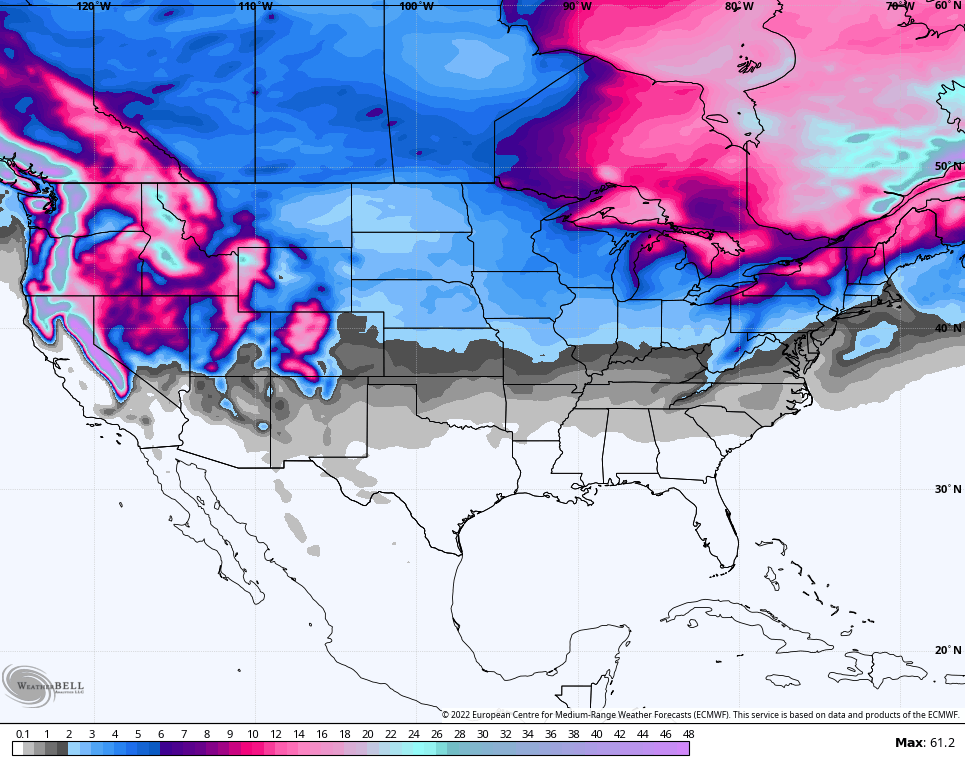
The European Ensembles continue to show MAJOR blocking and a highly -NAO. We see this starting by the middle and end of next week, but I continue to be more focused on the potential for the following week…

This is a pattern that can lead to winter weather and the potential for a big eastern US winter storm or two. The same EURO Ensembles are beginning to finally indicate some real snow chances…
This is a good look for winter weather lovers for the middle and end of December.
Enjoy your evening and take care.

The wind kicked up today that’s for sure. Now the cold is here just wished we would have some flakes maybe we will soon.