Good afternoon, folks. As promised, it’s not as rainy out there today but things are still on the gloomy and dampe side as a few showers roll back into the area. We have one more shower maker over the weekend before we turn our attention toward big changes next week.
The showers out there today are fairly scattered with some areas of drizzle and mist in between. Here are your radars to see what kind of trouble they can find…

A few showers will also be with us on Saturday, but that’s not all day stuff at all.
Drier skies take over for Sunday and Monday, but clouds are going to be tough to break. Temps look pretty normal.
I have no real changes to my thoughts on the system coming next week. Here’s the breakdown before we check the models:
- Temps spike on Tuesday as clouds increase ahead of the storm to the west.
- Rain then sweeps east to west across the state late Tuesday night through Wednesday night.
- The trend with this whole setup is actually trending colder as we get closer.
- Wind gusts of 40mph or greater will also be possible.
- A cold front slams in here late Wednesday or early Thursday with dropping temps behind it.
- With a lot of upper level energy passing through here, and ample low level moisture, periods of light snow may show up by Thursday night and Friday.
- Light snow and snow showers will be possible into next weekend.
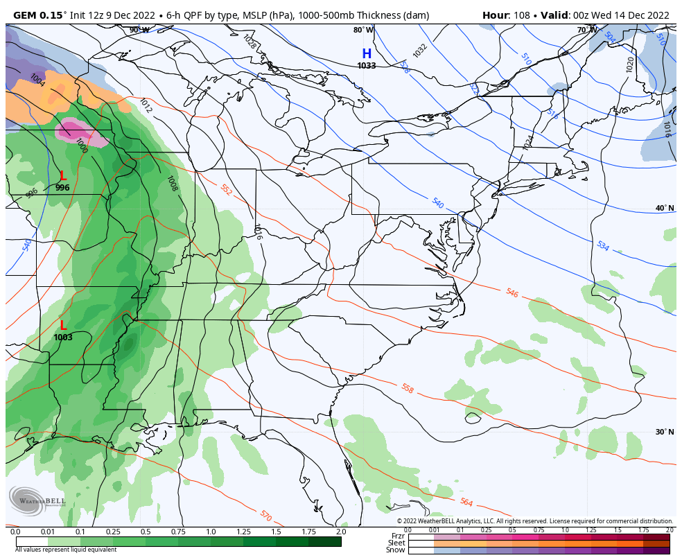
The Canadian Model continues to be the model of choice as it’s the only model that’s steady in this overall pattern. Watch how our block forces the upper level low to spin eastward through our region and into the east…
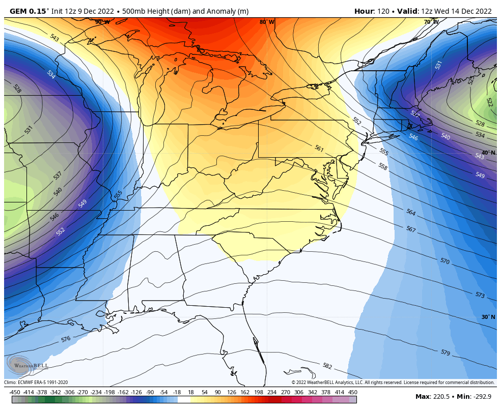
That setup forces a big storm to fire across the eastern seaboard…
The GFS has been showing this scenario for the past few runs, but the new run is back to doing GFS things and essentially has no storm…
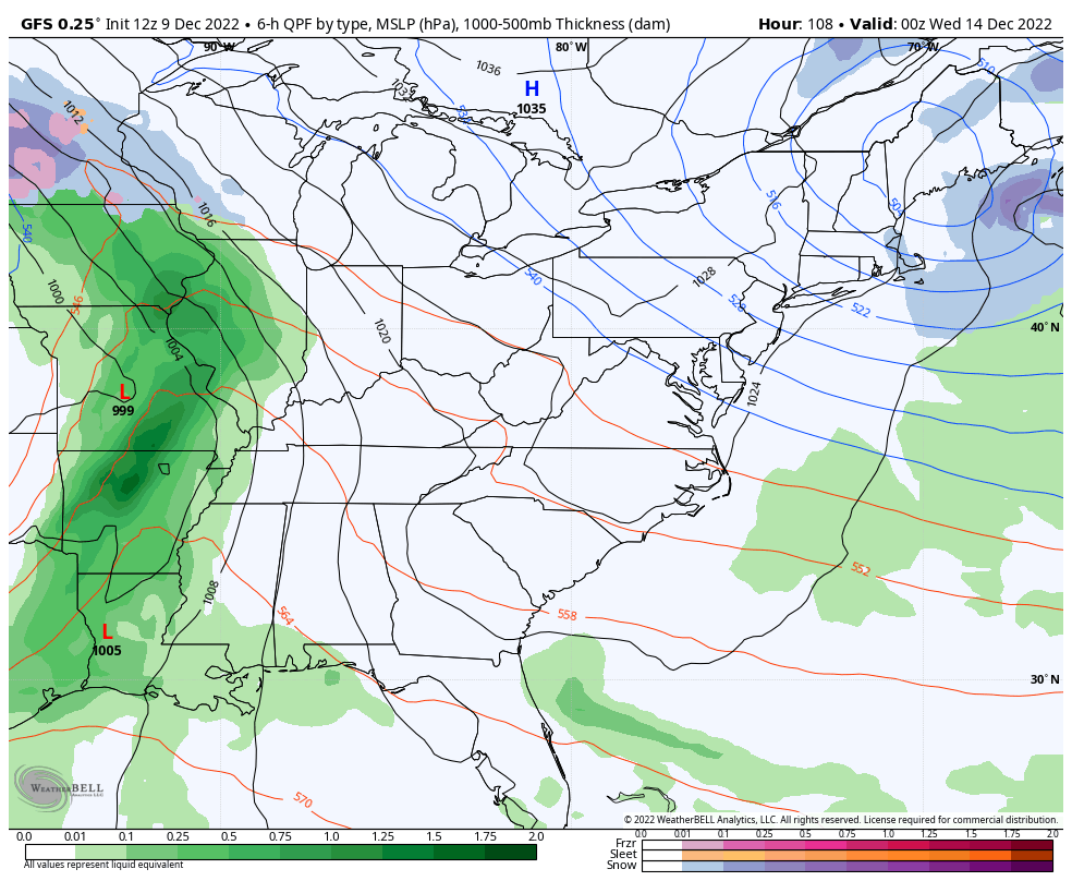
Our tax dollars hard at work on that model, folks! 😜
I’ll have another update later today, so check back. Have a good one and take care.

Don’t have much faith in snow until the -PNA becomes more favorable..Just too much of a se ridge causing systems to cut..Believe around Christmas will be our best shot..
You’re probably correct the SE blocking will not allow lows to move south of Ky. The best chance for snow with this pattern is the unreliable moisture starve Canadian Clipper.
Going to be a long week tracking
Ah, the winter overcast is here…Watch… 90% of winter will be overcast…it makes any cold weather that much more bone-chilling.
bailey liam is back