Good evening, folks. Dreary weather starts out what looks to be a rather dreary weekend. Once into next week, big changes continue to unfold with the increasing potential for a harsh stretch of winter for much of the country.
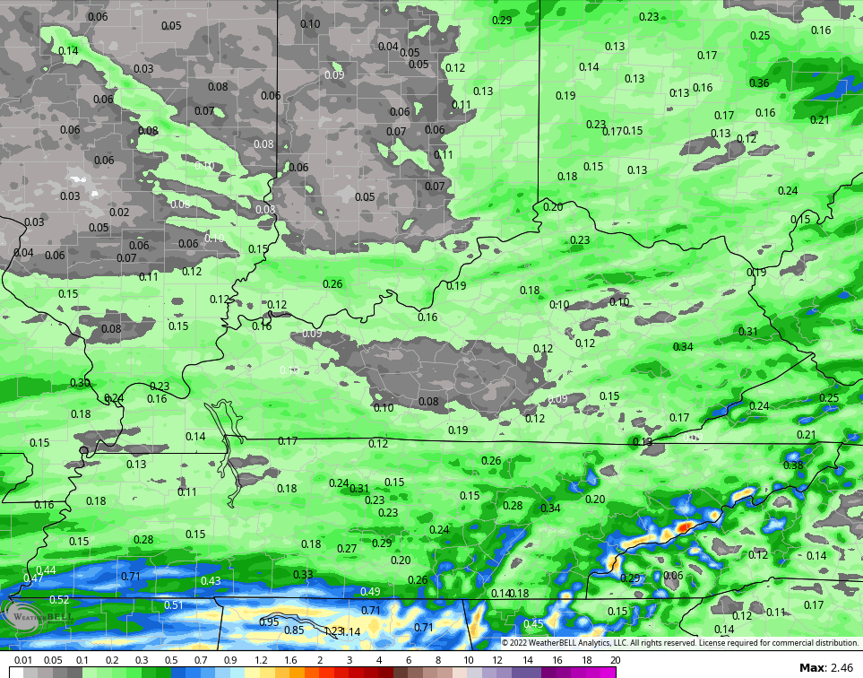
Fog is a big time issue out there this evening, so keep that in mind if you’re going to be driving. Visibility is near zero in some spots. A few areas of drizzle are out there and we may even see a shower or two. Here are your radars to follow along…

A few showers continue on Saturday, but it’s not all day rain. The models are spitting out some light amounts through Saturday night…
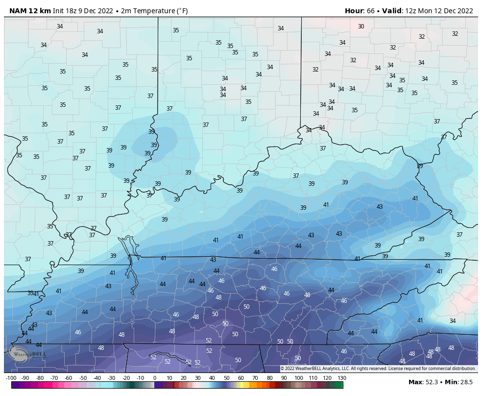
A seasonable brand of chill arrives on Sunday and takes us into Monday as skies dry out. Here are the temps from 7am through 7pm on Monday…
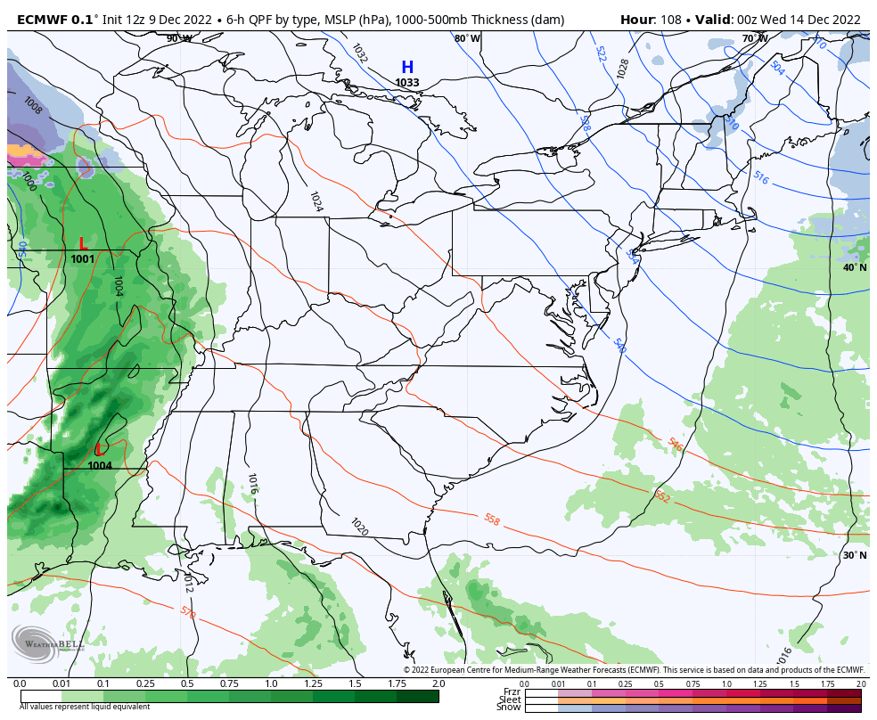
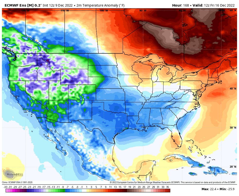
I have no changes on the system next week. The EURO has the overall right idea with the evolution of the whole setup, but has some p-type issues behind it…
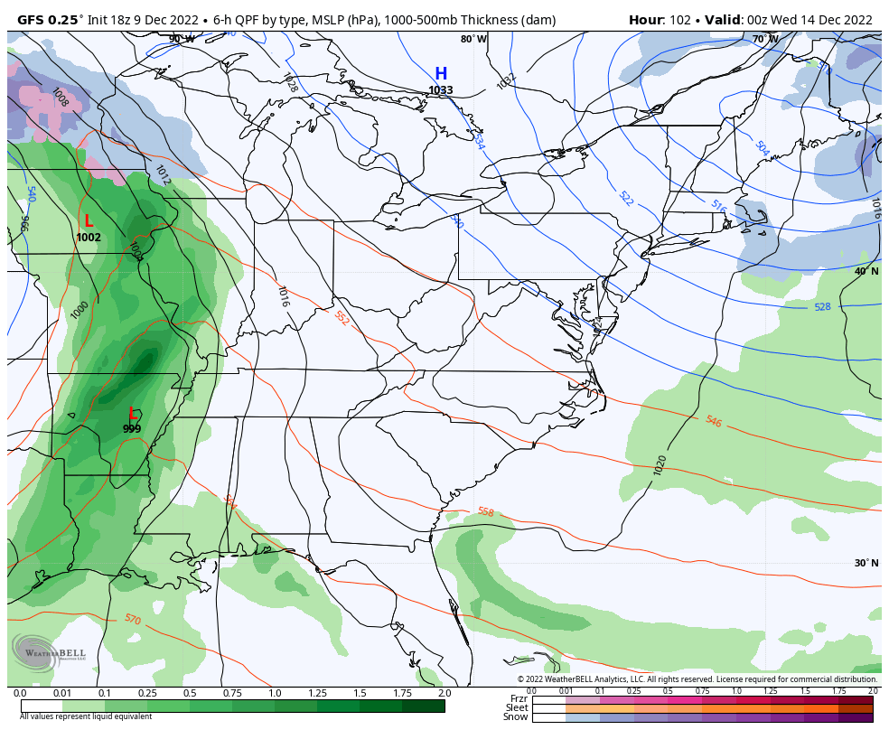
The GFS continues to be over here wasting our time…
The brand new run of the EURO Ensembles show one amazingly cold pattern evolving across the lower 48. Look at this trough into Christmas weekend…
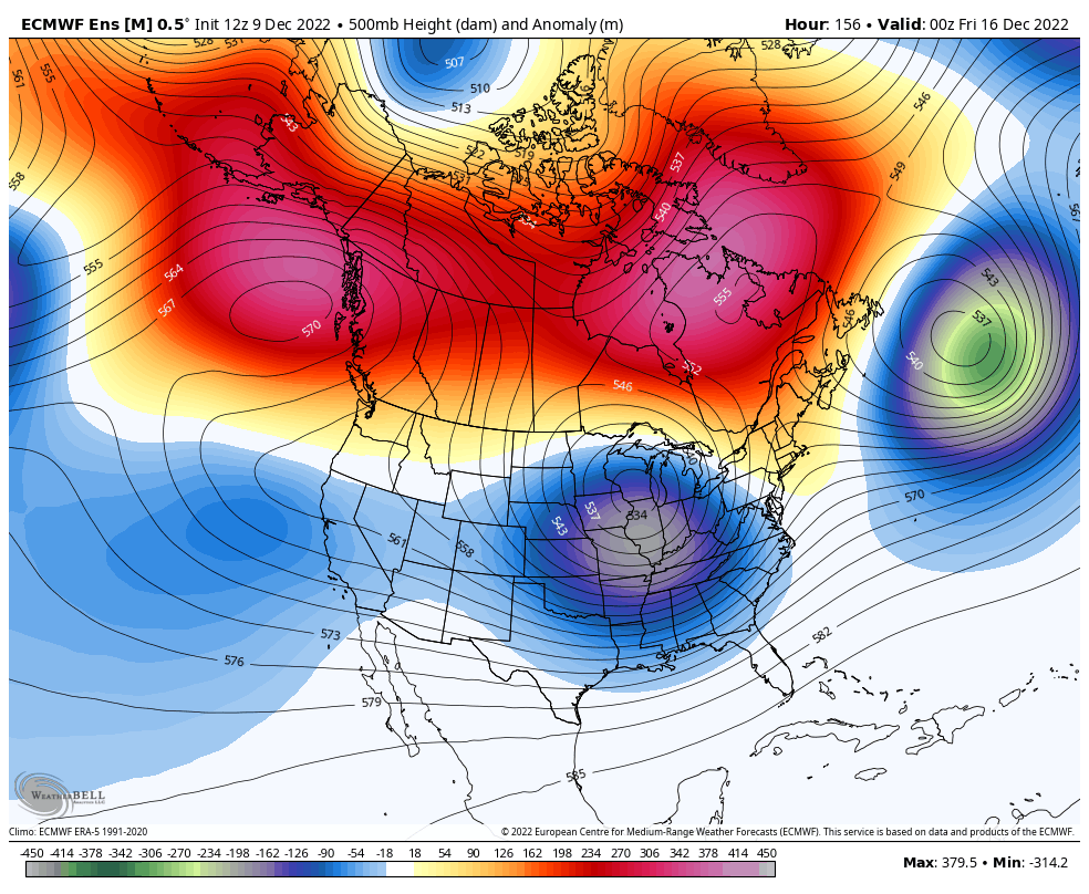
The EURO Ensembles are made up of 51 different members and what we look at is essentially the average of 51 different runs. I’ve never seen the EURO Ensembles showing this much cold from this far out…
Notice how things keep trending colder as we get closer to Christmas?!
I leave you with the title song for this update…
I’ll see you guys back here for the overnight update. Have a good one and take care.

-EPO -AO -NAO!!!!!!!’
https://www.tropicaltidbits.com/analysis/models/?model=ecmwf®ion=namer&pkg=z500a&runtime=2022120912&fh=234
Great site ! maybe all three teleconnections – AO – NAO – EPO will override this moderate La Nina and give us a real Winter ?
Given the Loverboy theme, I was kinda disappointed the Canadian model didn’t take the lead on next week’s weather.
For this cold weather lover, late next week will be Almost Paradise.
I’ll see myself out.