Good evening, everyone. Colder winds are blowing out there tonight as a few rain and snow showers press in. This opens up the flood gates for a harsh winter pattern taking hold over the next few weeks, at least.
The system moving in from the northwest tonight will bring an uptick in scattered rain and snow showers. A touch of sleet may also be noted, but this doesn’t look like a huge deal. I’m wondering if we can get a late night rooftop duster in a few spots? Hmm.
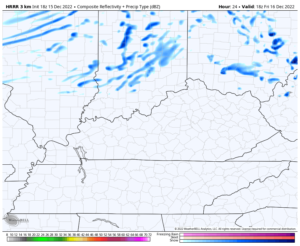
Here are your radars to follow this system into Kentucky…

That system pulls away early Friday with upper 30s to around 40 with winds making it feel colder. Another system then brings some snow showers and flurries back in here Friday night and Saturday. The future radar from the HRRR continues to pick up on this very well. This animation goes from 1pm Friday through 1pm Saturday…
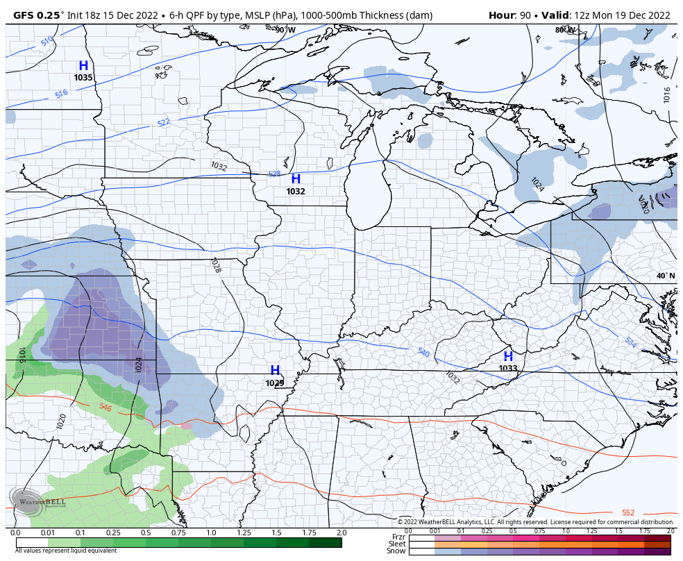
We continue to see some model disagreement on the system early next week. The GFS continues to be aggressive with a period of light snow late Monday and Tuesday…
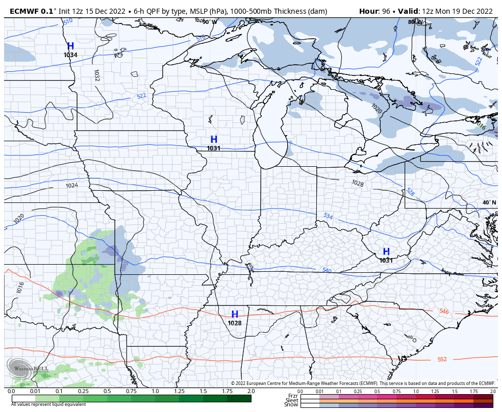
The EURO doesn’t see that at all and shears this system apart much quicker…
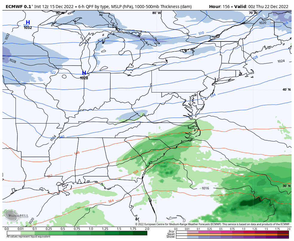
Regardless, both models continue to trend toward a major eastern US winter storm by next Thursday and Friday. They go about things just a touch differently, but from a week away, we are seeing really good model agreement on this big ticket storm signal.
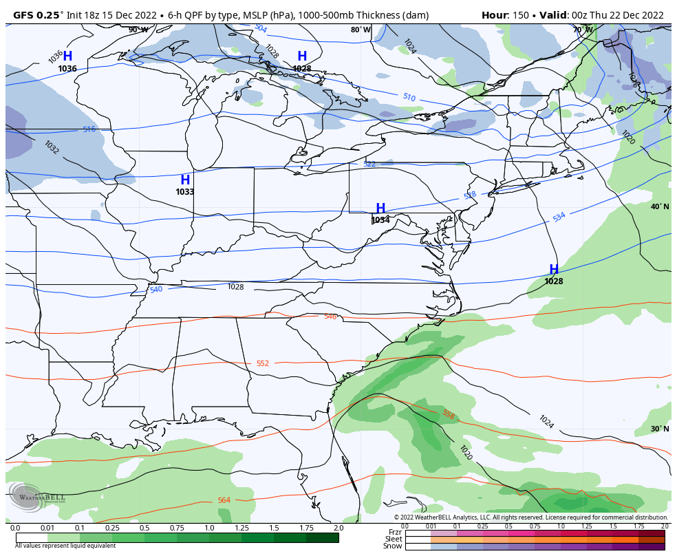
The GFS is back to a blizzard in the east…
That’s not too dissimilar to last night’s EURO that went crazy with this storm. The new EURO isn’t to that extreme, but has a similar look and theme…
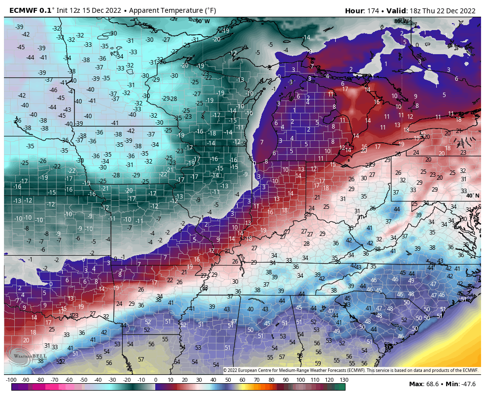
Again, I have no changes to my thought on next week. The threat for a major winter storm in the eastern US is there and it will be followed by bitterly cold air for Christmas weekend. The potential to make a run at 0 or below is there for the holiday weekend. Wind chills have the chance to be brutal…
The next week of tracking is going to be really interesting, folks!
Enjoy the evening and take care.

That GFS run looked like a triple phaser in the Mid-Atlantic..Heading NE looks like a hurricane..lol..Talk about a weenie run for that area if you like destruction..Interesting indeed..
Don’t these type of systems usually undercut KY and take an accelerated line due east and then north? Kind of a hockey stick, with most of KY not in it much. Looking forward to CB’s take on this as it progresses.
BubbaG is here winter can now begin lol. Let’s hope BubbaG that the snow Gods smile on us this time but I sure not what you mean.