Good evening, folks. A few flakes are dropping into the area from the northwest and some of that will be with us into the weekend. The focus of the forecast continues to be on the harsh winter pattern leading up to Christmas and into the big weekend.
Let’s get the radars on here to track the light flake action for parts of the state tonight…

As we get closer to next week, the signal for a major eastern US winter storm grows stronger. The exact evolution of this is still not known and won’t be for a few days. Until we figure that out, I can’t tell you the exact impact this will have on our weather. All I can do is raise awareness to the potential.
The floor on this setup would be for a simple arctic front passage with a light snowfall. The ceiling on this setup would be for a blizzard. Of course, there are a lot of floors in between those two, so keep that in mind. 😜
The models will continue to disagree with one another and likely swing back and forth some with each run. That’s to be expected.
The latest GFS goes to the extreme. Look at this upper level setup…
The end result is the celling…
Wind gusts from that run…
The EURO isn’t that dissimilar in the overall thought process, but it has a slightly different track. Notice how the upper level system is just a bit north of the GFS…
The end result isn’t to the level of the GFS, but it too would get near the ceiling…
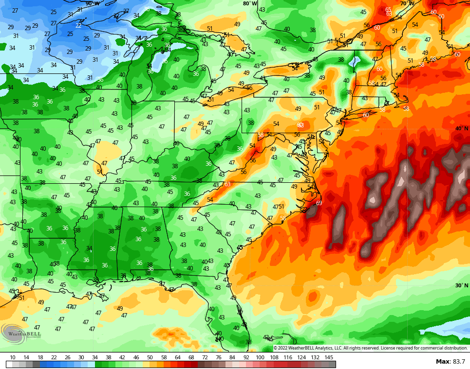
The winds from the EURO are even stronger…
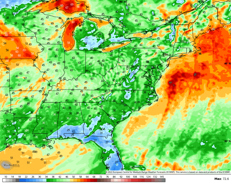
As you can see, some extreme options are on the table, but that doesn’t mean the extreme options will be the end result, obviously.
Bitterly cold air follows for Christmas weekend and we may have to be on guard for a clipper system arriving later Christmas day or a day or two after.
The pattern remains loaded through early January, at least.
Enjoy the evening and take care.

The famous west trend appears to have begun.
Lets see if it holds.