Good afternoon, everyone. Much milder winds are blowing out there today as we flip the pattern over the next week or so. This mild pattern also turns wet with even the chance for strong thunderstorms early next week.
The winds leading the milder charge can really crank tonight into Thursday. Some of the models are spitting out gusts of 40mph or higher…
This mild air is ahead of a storm system working in here for the closing days of the year. Rain overspreads the region Friday with heavy rain Friday night into New Year’s Eve…
That system moves away on day one of the new year, but a more potent system develops in the plains by Monday. That takes a farther west track, putting us in even milder air that may become unstable.
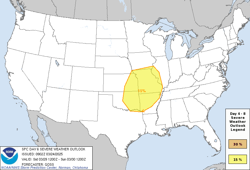
A line of strong thunderstorms may develop and roll into western Kentucky Monday night then through the rest of the state into early Tuesday. The Storm Prediction Center is highlighting the western half of the state for possible severe storms…

Here’s a look at that system…
Both of these systems will drop heavy rain across the region, but we’ve already covered that potential.
Colder air looks to crash in behind that, setting the stage for us to slide back into a winter pattern that can turn harsh once again.
I’ll have another update later today. Make it a good one and take care.
Insanely warm temperatures for late December and January. Severe weather threats showing up doesn’t surprise me. Is Winter weather with accumulating Snow chances over ???
We need the rains, but at the present not much is showing up in my local forecast. Lots of unwanted wind gust are.
The rain will serve one important purpose, it will clean all the snow removal chemicals off my two auto’s.
And restore the soils with adequate moisture for this Spring’s planting season.
Both excellent points. I’m really enjoying the overachieving temps today.