Good evening, folks. It’s a windy and milder flow kicking in as we get set for a super active setup. This means several systems rumble through here over the next week before winter starts to take control again.
The first system rolls in for Friday and Saturday, but it may even throw an isolated shower at us Thursday. This system is likely to bring locally heavy rains to the region to end the year…

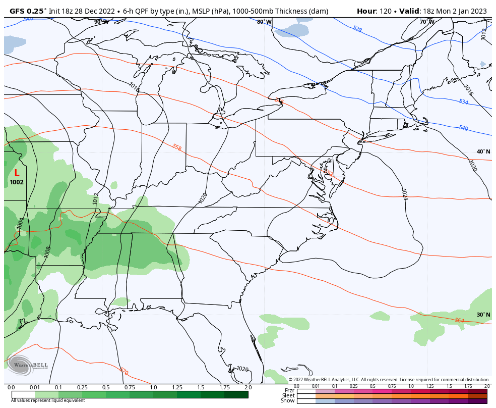
The system early next week has the potential to bring strong storms to the area late Monday into early Tuesday. The Storm Prediction Center continues to highlight western Kentucky for the severe threat…

The EURO shows this system well and also shows the one coming behind it that tries to tap a little wintertime later next week…

The GFS has a similar look and feel…
Enjoy the evening and take care.
