Good evening, folks. The overall pattern continues to progress without much change as we head into a very active pattern. This includes the chance for strong storms and snowflakes all packed into the opening week of the new year.
Before we get to the new year, rounds of showers and a few storms are working through the region tonight into Saturday. This action will increase from southwest to northeast this evening and tonight, and your friendly radars are on duty…

The rain looks to move away by the time we head out to those New Year’s Eve parties. That dry weather takes us into New Year’s Day with temps staying mild.
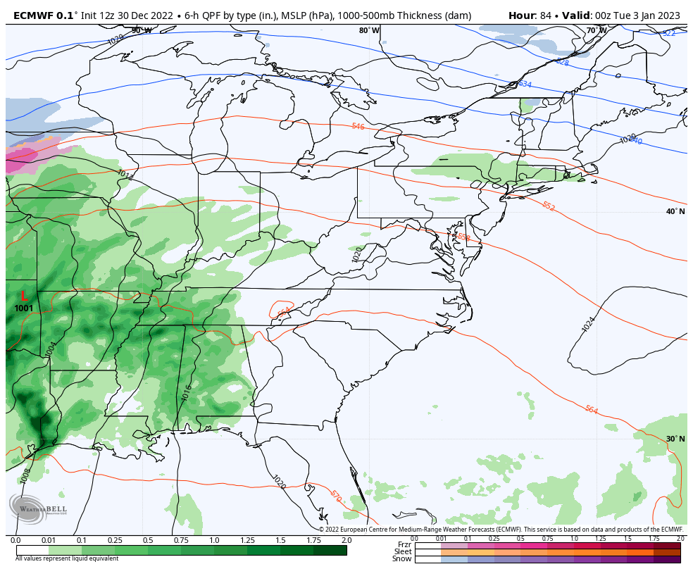
The setup for early next week continues to bring the chance for strong storms and heavy rain in here. Our storm system rolls from the Mississippi Valley into the western Great Lakes Monday through Tuesday. That brings the best chance for strong or severe storms into western Kentucky. This action then spreads eastward through Tuesday with another wave of low pressure developing along the boundary by the middle of the week.
The EURO shows all this well and also shows the chance for some late week flakes…
Enjoy the evening and take care.
