Good afternoon, everyone. We continue to track a potent setup featuring rounds of showers and thunderstorms through the middle of the week. These storms may be strong or severe and put down a lot of rain that can cause flash flooding issues for some.
Scattered showers and storms crank out there this afternoon, but the main line of storms develops this evening to our west. That rolls across the state tonight and early Tuesday with the potential for some of these storms to be severe.
The Storm Prediction Center continues to highlight western Kentucky for the best chance of severe weather tonight…

Damaging winds and a quick tornado spin up will be possible.
The Future Radar from the HRRR shows this line slowly working across the rest of the state. Our animation goes from 7pm this evening through 4pm Tuesday…
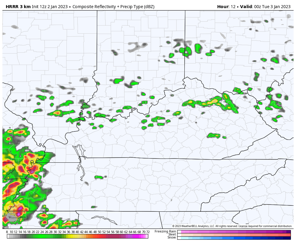
A setup like that can put down a lot of rain in some areas.
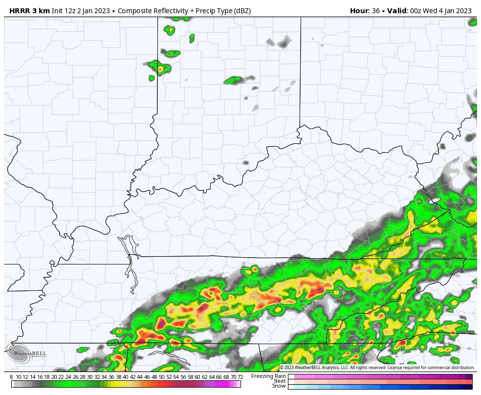
As that line weakens in the east and southeast, the front is still to our west. The atmosphere recovers just enough to spit out another line of strong to severe storms by Tuesday evening and night. This one develops farther east and the Storm Prediction Center has the low-end severe threat more into central and eastern Kentucky…

The Future Radar from the HRRR starts at 7pm Tuesday and goes through 7am Wednesday…
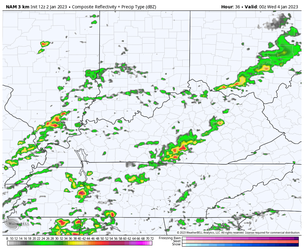
The Future Radar from the Hi Res NAM backs up this scenario…
Again, damaging winds and a quick spin up will be possible. Heavy rains may cause additional issues.
The rain tapers on Wednesday as colder air comes in from the northwest. A few flakes may fly by Thursday or early Friday, but a system coming in quickly behind this is showing up stronger. That arrives by the weekend with a rain and snow swath. Where those set up is still a work in progress. I’ll get into that with my evening update.
Until then, let’s track some storms…

Current watches

Possible Watch Areas

Have a great day and take care.

chiseled in stone by the vpoice. USC in control.
At 5:30pm CST, a cluster of strong thunderstorms in Middle Tennessee west of Nashville was moving NNE at approximately 40 mph. The severe component should remain in Tennessee, but the Bowling Green area could see some hefty downpours within the next hour or so.
The high temperature recorded at my PWS just south of Bowling Green was 72°F. That’s just nuts…