Good evening, everyone. Flooding rains and rounds of storms have been common across the region today and we have one more round to keep an eye on tonight. This continues to be part of a very active pattern that is slowly trending colder.
With our cold front still to the west of us, we are likely to see another round of rain and storms develop tonight. The short range models are showing this developing more into central and eastern Kentucky after midnight…
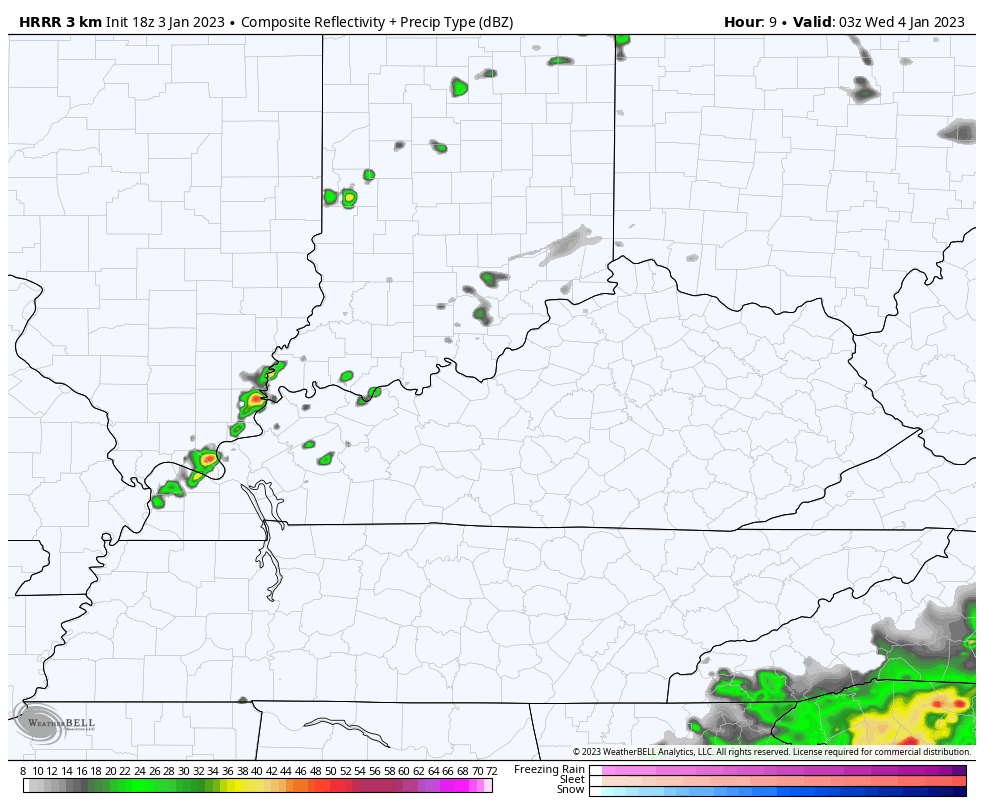
Some of those storms could be strong or locally severe. Heavy rainfall may also cause local high water issues, especially in the east.
Here’s the latest Severe Weather Outlook from the Storm Prediction Center for this evening…

Seasonable cold air comes in behind that with the chance for a few snowflakes or sprinkles in the north and east on Thursday.
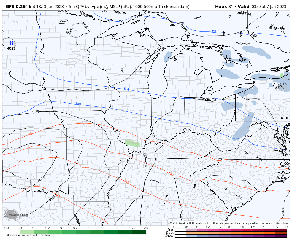
The busy setup continues into the weekend with one storm system moving in with the chance for rain and snow for Saturday. That may be followed up by another system on Sunday and early Monday.
The GFS continues to show a swath of snow impacting northern Kentucky with the initial low…
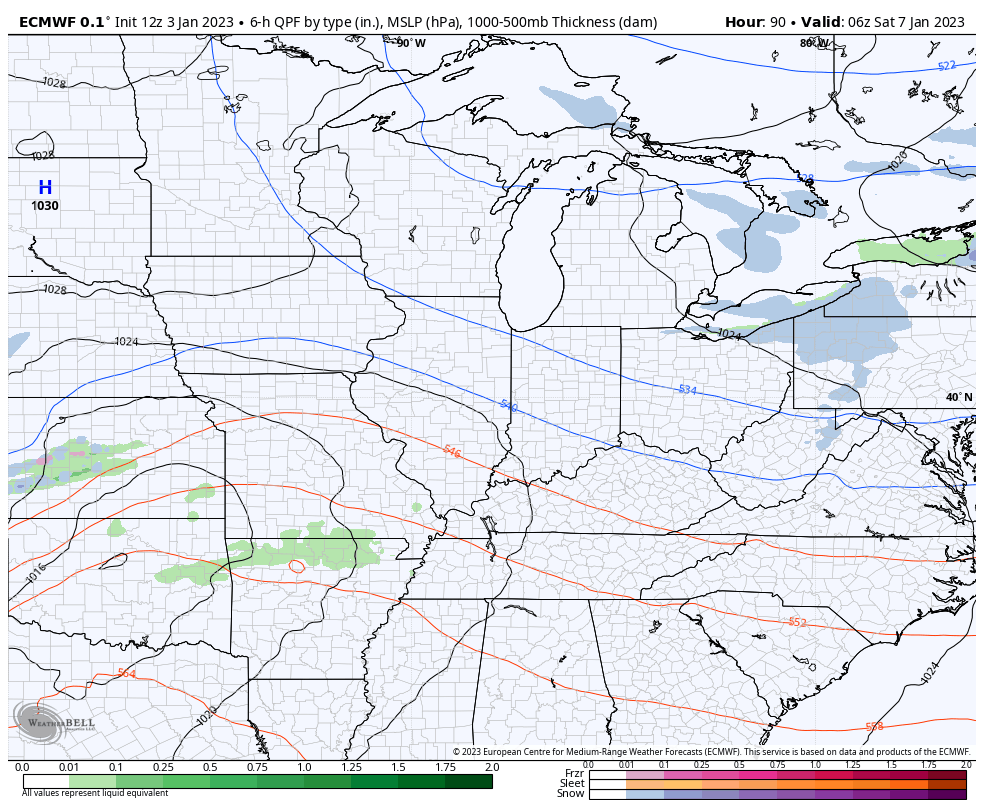
The EURO has a similar overall view…
That may very well put down another inch or two of rain, so we need to be on guard for that and hope for more of a winter look.
Speaking of winter… If this pattern doesn’t flip soon, we are going to continue to get into more trouble with storms and heavy rain. I know there are a lot of folks who love mild weather in winter… But it really leads to some bad things around here.
I leave you with your storm tracking tools…

Current watches

Possible Watch Areas

Enjoy the evening and take care.

Temperature reached 70°F today in South Central Kentucky, after hitting 72°F yesterday, and I saw several day lily shoots starting to emerge. T,hhis “January Thaw” had better end soon, before we start losing Spring blooms.
Yes I hope we don’t stay in this pattern because Chris you are right it does seem to lead to bad things around here. Flooding for one.