Good afternoon, folks. Much better weather is pushing into the region as a cold front pushes off to the east of us. This is ushering in colder air as our active setup looks to continue through the weekend, at least.
Another round of heavy rain did hit parts of central and eastern Kentucky this morning, producing some street flooding in Lexington. The rains are now to the east with some sun taking control from the west. Temps are also dropping quickly and will be more seasonable for the next few days.
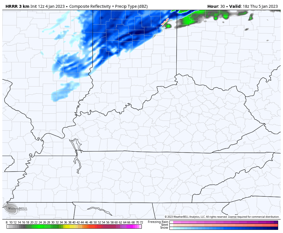
There’s an upper level spin across the Ohio Valley late Thursday into Thursday night. This may spawn a few rain or snow showers, with the greatest chance in the north. The Future Radar from the HRRR is probably a little too widespread with the action…
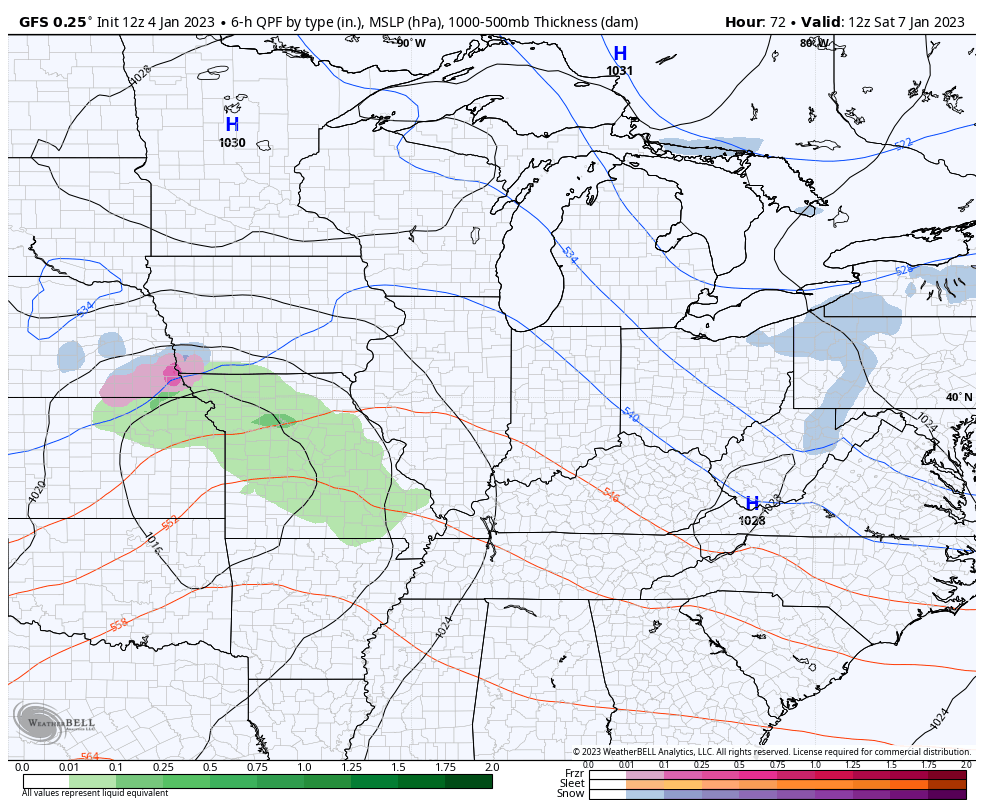
The weekend system will bring some rain and a bit of a mix in here, with the best mix chance in the north. Here’s how the GFS views it…
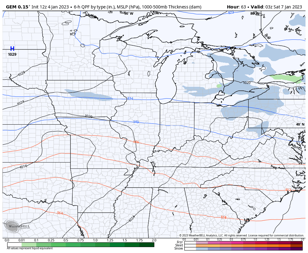
And the Canadian…
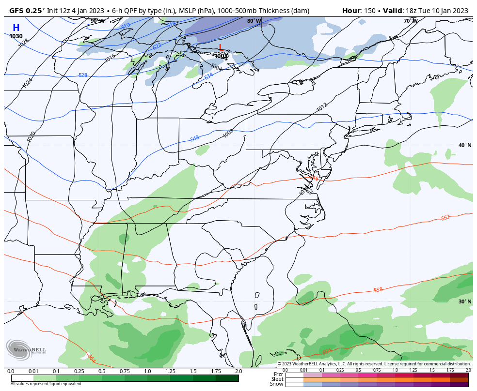
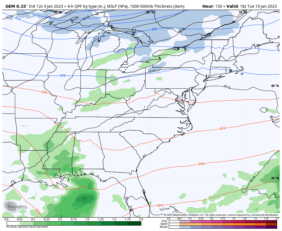
A funny thing is happening on the forecast models today as they are trending more toward a winter look next week…
GFS
And the Canadian…
The second week of January.😁
I’ll update things later today. Have a good one and take care.

fire in da hole.