Good evening, gang. That sunshine out there this afternoon sure felt nice and we have a little more in the tank over the next few days, but the pattern remains active. This will throw a few more systems at us this weekend.
We will still watch for a few rain or snow showers to impact parts of the region late Thursday into Friday morning. The best chance for this will be in the north and east.
The weekend system is all over the place on the models still in terms of what it can bring our way. The latest EURO has a farther south solution at the start…
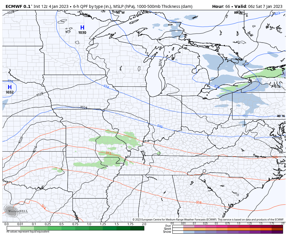
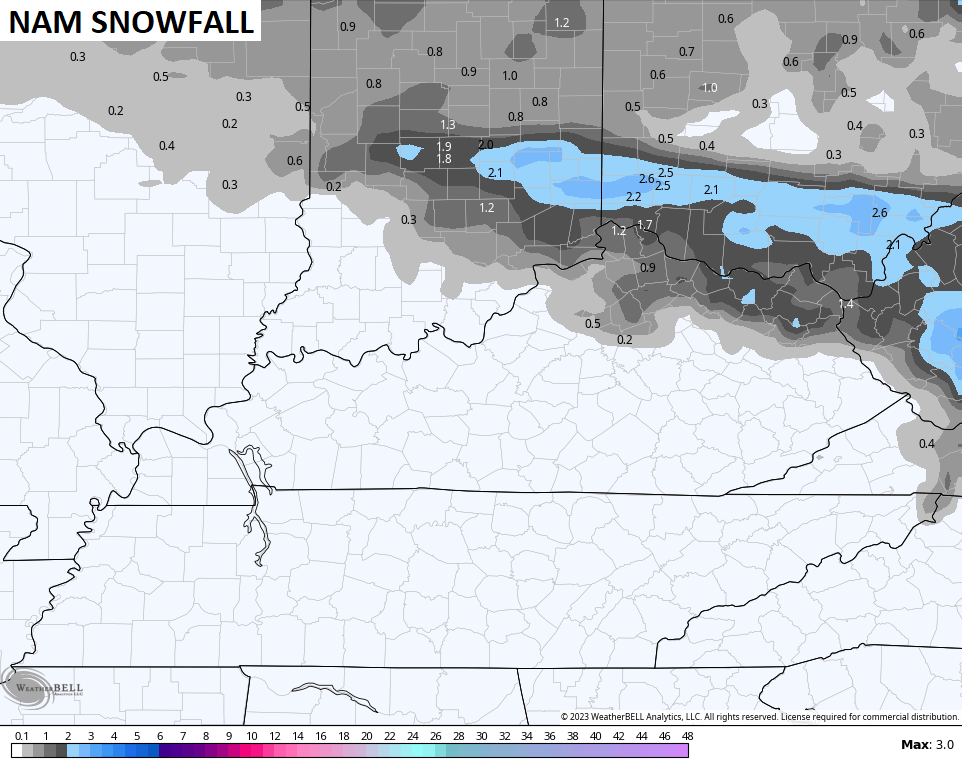
That brings a light mix at the start on Saturday, but the shorter range models are seeing a little more of a stripe of snow…
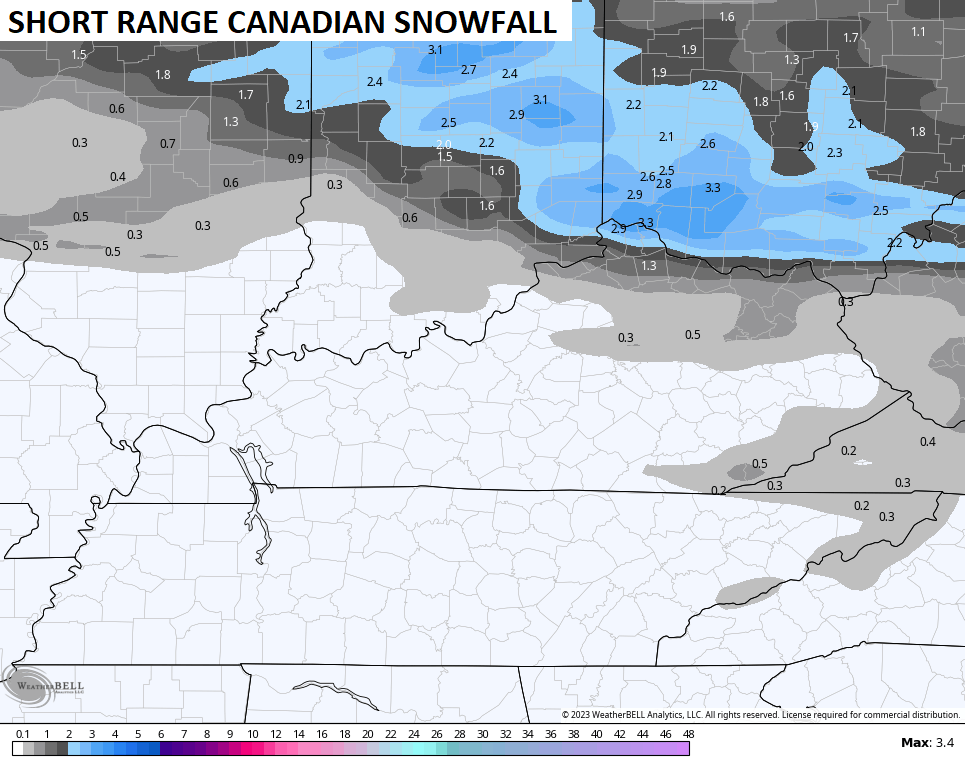
They have a southern friend in the ICON…
![]()
![]()
Those are trends worth watching tonight into Thursday.
Earlier, the GFS and Canadian Models trended toward more of a winter look. The EURO is going in the same direction…
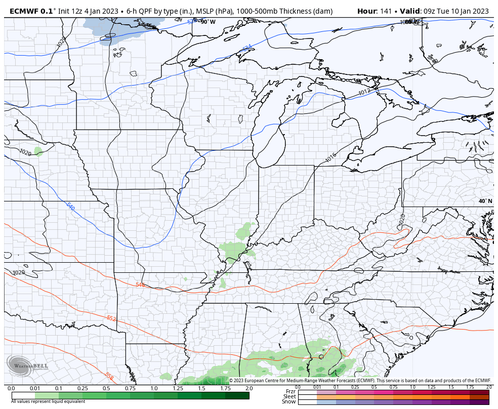
This is part of the active pattern that looks to continue as the overall pattern turns colder. Watch how these troughs come out of the west and roll through here…
CANADIAN ENSEMBLES
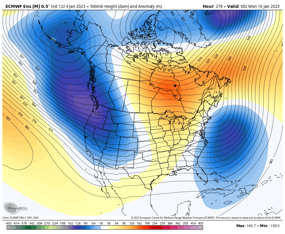
EURO ENSEMBLES
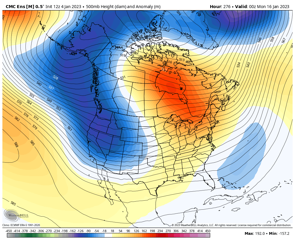
Notice how that look pushes the block back toward Greenland. When I see this evolution, I see the potential for winter storms to threaten our region for the middle of the month into the second half of January.
Enjoy your evening and take care.
