Good afternoon, folks. I don’t have a lot of time, but wanted to drop by for a quick update. We only have a few things to talk about in the short term and each of these can bring a few flakes to parts of the region.
The system working in from the northwest is bringing colder air with it for tonight and Friday. It’s nothing out of the ordinary, but it will take temps to normal or a touch below.
Some rain and snow showers are spinning around the upper low pivoting through the Ohio Valley. Some of these will move into the northern and eastern parts of the state later this evening and tonight. Your friendly radars are on duty watching the stuff dropping in…

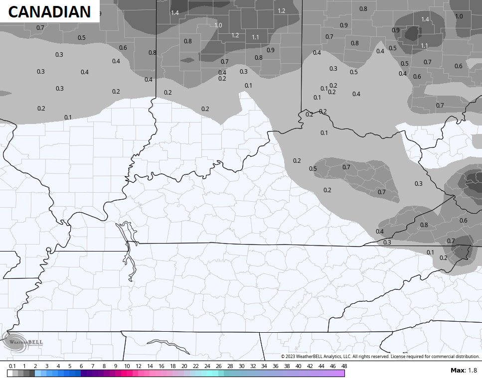
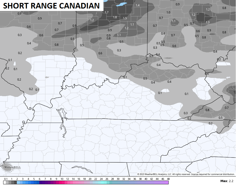
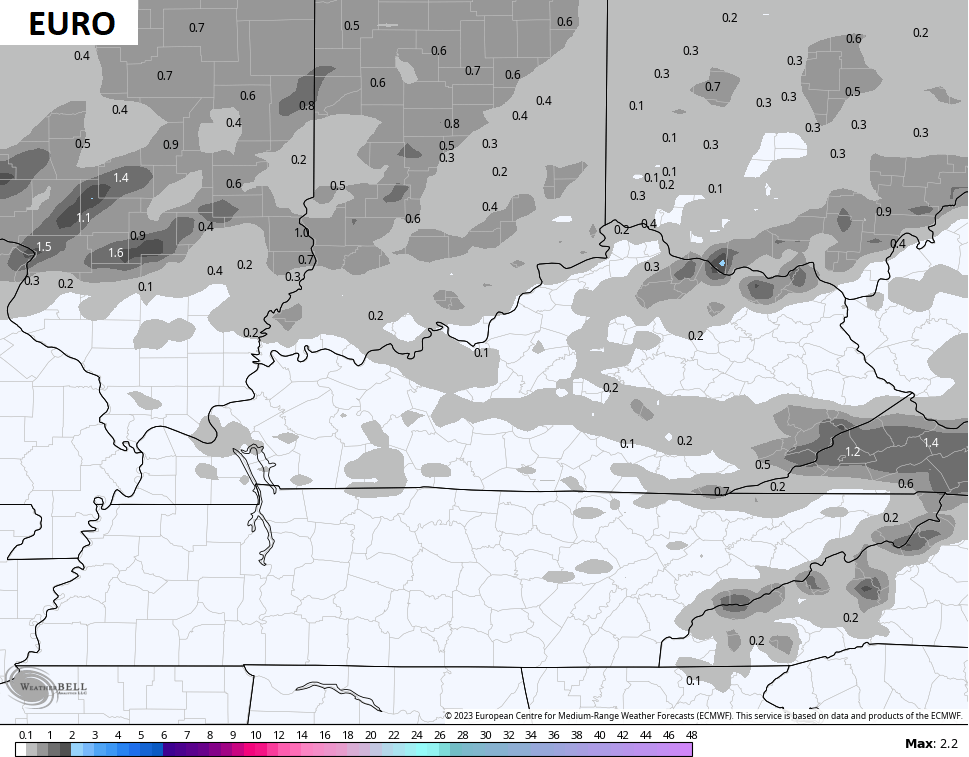
The weekend system is trending lighter and is a mainly rain maker. The leading edge on this is may very well be a bit of a mix of a period of light snow early Saturday. This isn’t anything to get overly excited about, but it’s a little bit of winter to track.
Here are the models showing the flakes…
As I said, this is a short update, but I’ll make it up to you with the evening update.
Enjoy the afternoon and take care.

Wondering will WKY have anymore good snows before RIP winter; more rain whoo hoo
Euro threw us some candy