Good evening, everyone. We have some colder air working in tonight and this is bringing a few rain and snow showers into parts of the state. This is the first of two chances for some flakes showing up as we make our way into the upcoming weekend.
The best chance for those overnight rain and snow showers will be across the north and east. Your friendly radars are on duty to track whatever comes your way…

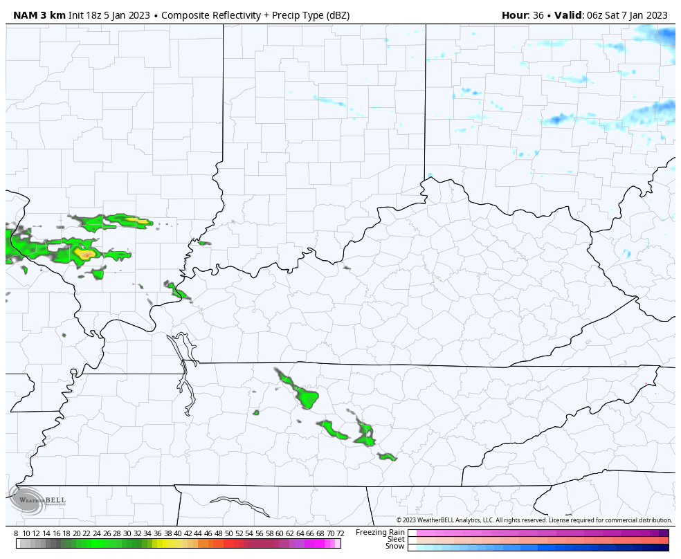
As far as the weekend goes, there’s a good chance for a swath of light, slushy snow to show up late Friday night and Saturday morning. Exactly where this happens is still a bit of a question mark, but the Future Radars from the Hi Res NAM and HRRR are similar…
Hi Res NAM
HRRR
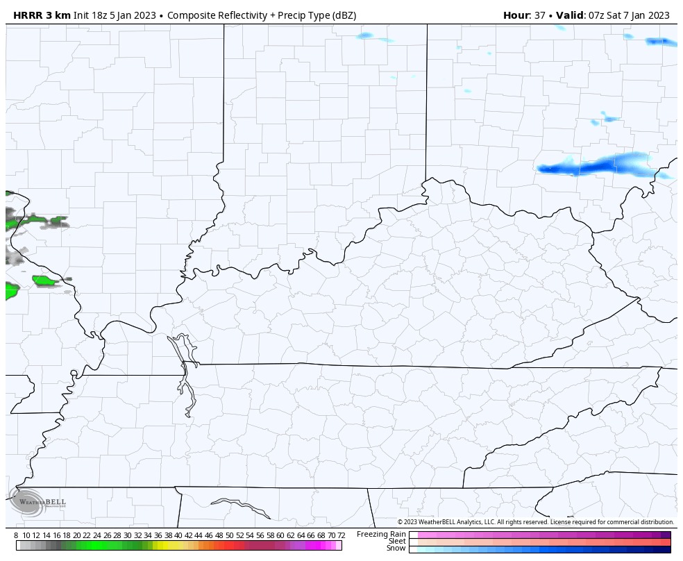
Both of those take a band of snow from the Bluegrass Region into southeastern Kentucky. I can’t rule out a quick-hitting light accumulation for some before mainly showers take over and that includes a second system coming in for Sunday. There’s a small chance for a mix on the leading edge of this Sunday morning.
A system of interest continues to show up later next week. The models are pointing toward a hefty storm system, but they disagree on the handling of it.
The Canadian Model is most wrapped up with this with rain to snow…
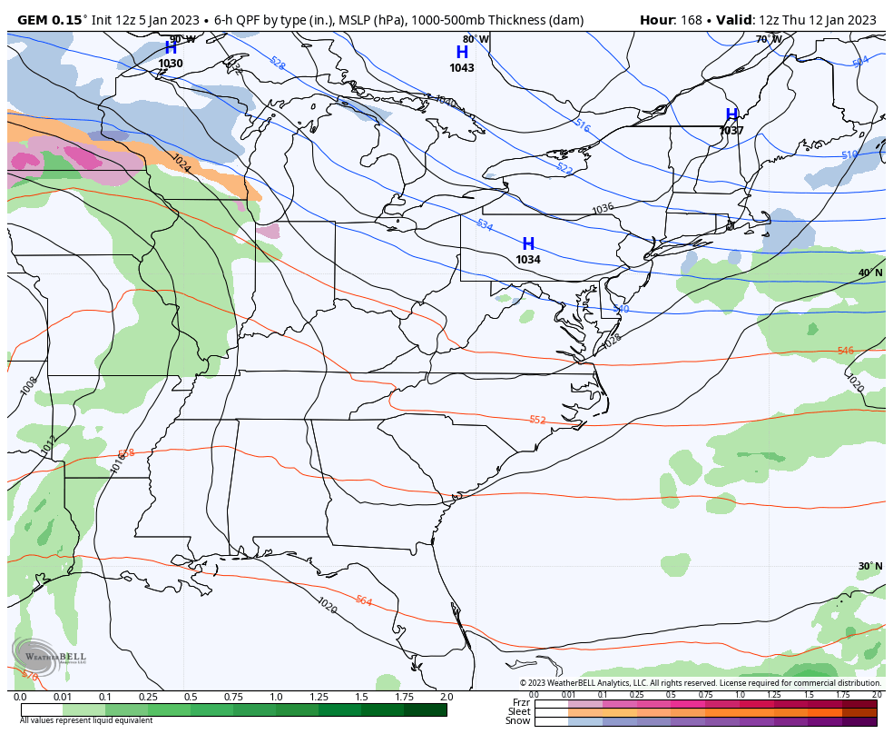
The EURO takes this farther south before bombing it out off the east coast and has more of a snow signal…

This is part of that pattern I’ve talked about sending bowling ball systems our way. Any one of these can develop into a major storm system over the next 3 weeks or so.
Enjoy the evening and take care.

Pretty sure that South Central Kentucky has seen all the snow it’s going to see this “Winter”. I’m afraid we’re more likely to see severe weather.