Good evening, folks. We continue to watch a light precipitation maker pulling into town later tonight and Sunday. This system won’t have a lot of juice with it, but it may ugly things up for a bit. As we track this, we also track the setup for later next week. That’s when a bigger storm cranks.
I have no changes to what’s coming tonight and Sunday. It’s nothing more than some light junk, with most of it in shower form. The best chance for frozen is in the north.
Your radars will show a few showers increasing from the southwest…

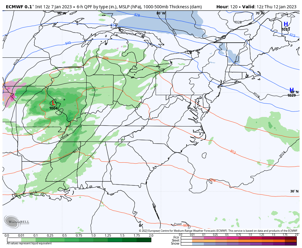
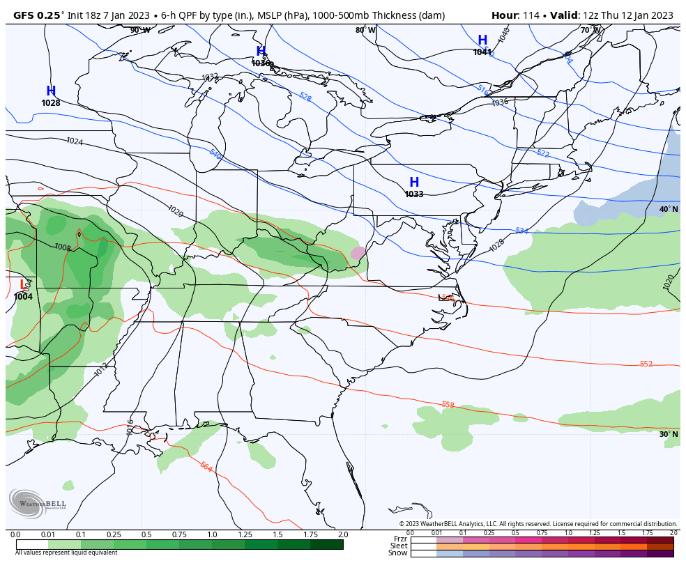
The afternoon runs of the EURO and GFS are a little more progressive with the late week storm system. The faster that system moves, the less of a chance we have of seeing any real winter weather with it.
Here’s the EURO…
And the GFS…
That’s all the time I have for the evening update, but I’m looking farther down the winter road with my overnight update. I’ll see you crazy kids then.
Have a good one and take care.
