Good evening, weather weenies! I haven’t called you guys that in a while, but it is a term said with love as I consider myself a weather weenie. 😁 It’s all eyes on the late week system that brings spring and winter together, all wrapped into a 24 hour period.
I have no changes to my thoughts from earlier in the day.
The EURO came in this afternoon and is slowing this down a bit, allowing for better wraparound light snow on Friday…
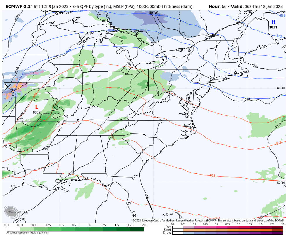
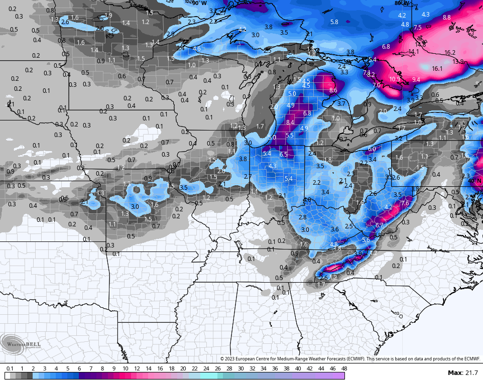
Here’s the snowfall map from that run of the EURO…
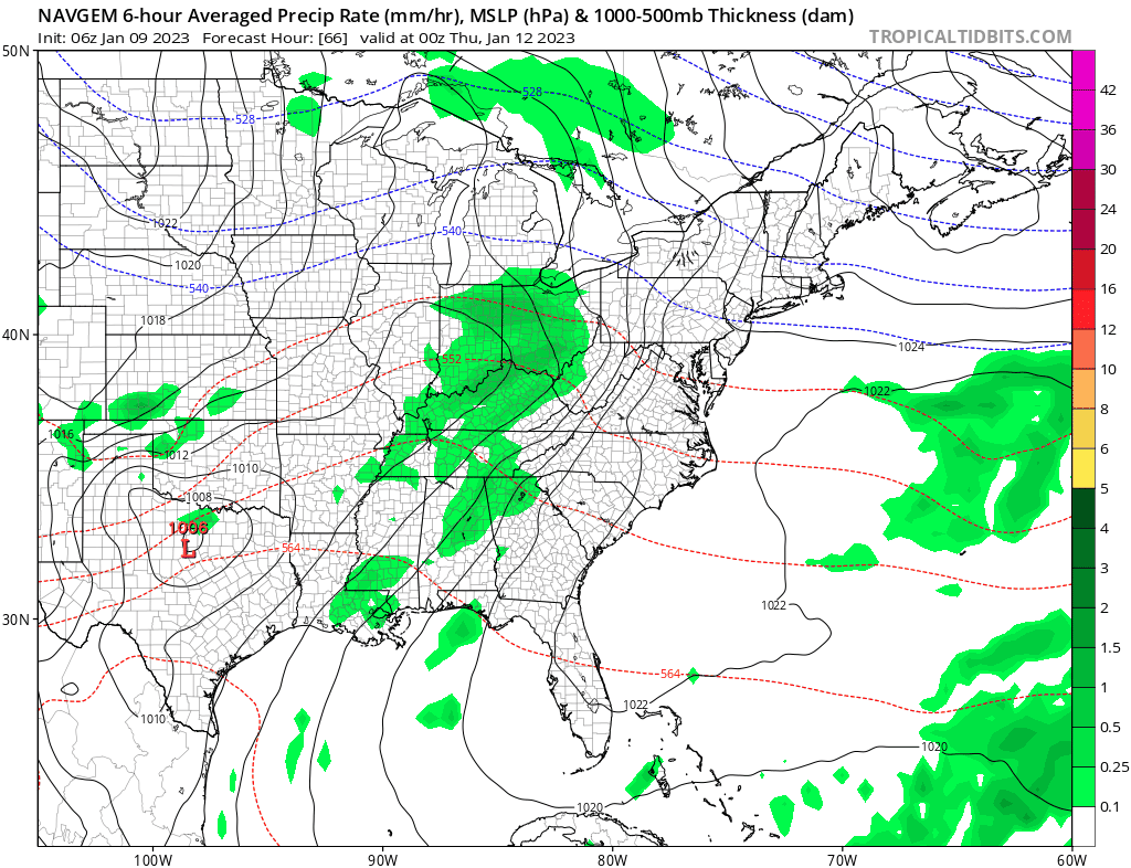
In these setups, I also like to look at some lesser known models like the NAVY. That model is similar to the EURO but is farther southeast with the track of the low. This animation does not show precipitation types…
Snow lovers should cheering that solution on.
I also have no changes to the extended with a pattern change coming later next week…
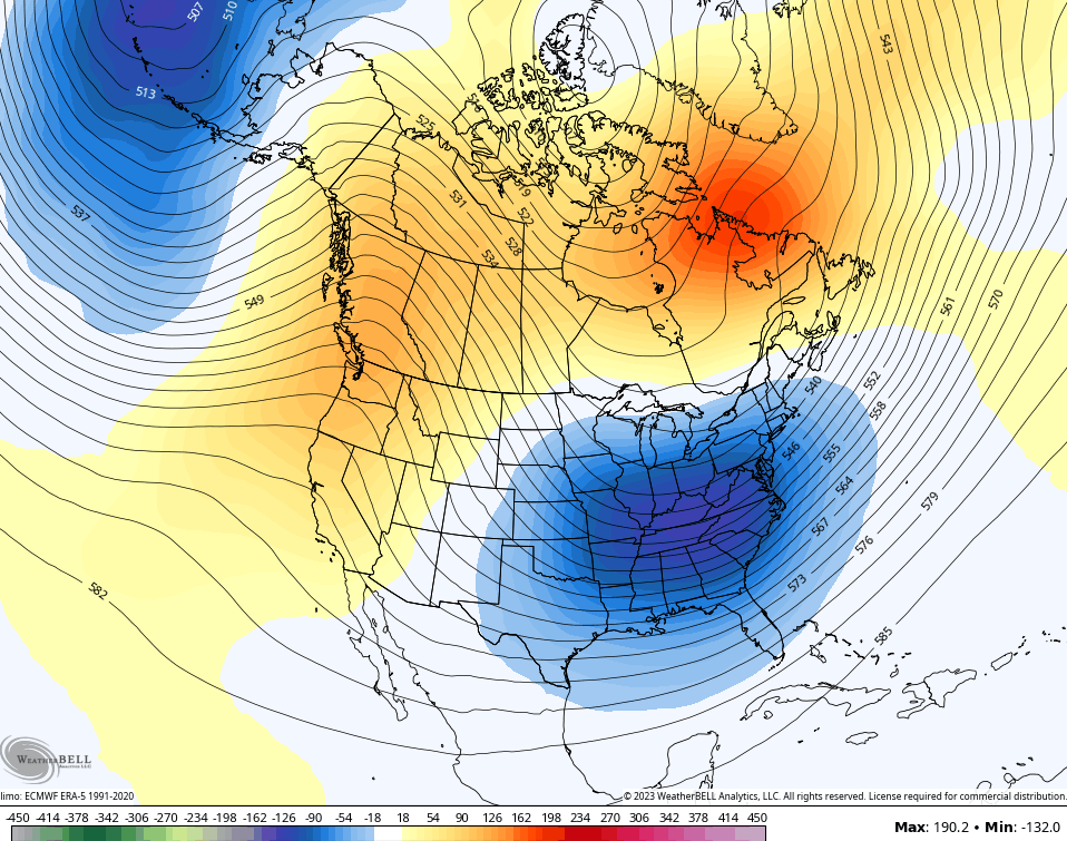
Big ridge in the west and a deep trough in the east during the heart of winter is a gorgeous sight to see.
Enjoy the evening and take care.
