Good evening, folks. We have a bumpy ride ahead of us for the next few days as we track strong storms and some snow. Would you expect Kentucky weather to roll in a normal way? Don’t answer.. It’s rhetorical. 😜
In terms of the strong storms and severe threat, it’s a low end this evening in the west and across the rest of the state on Thursday. Here’s a look at the current thinking from the Storm Prediction Center…


Damaging wind is the main threat with any storm that goes up. Storms that develop in the afternoon across central Kentucky may have a little spin with them, so we will have to watch that.
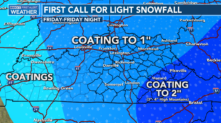
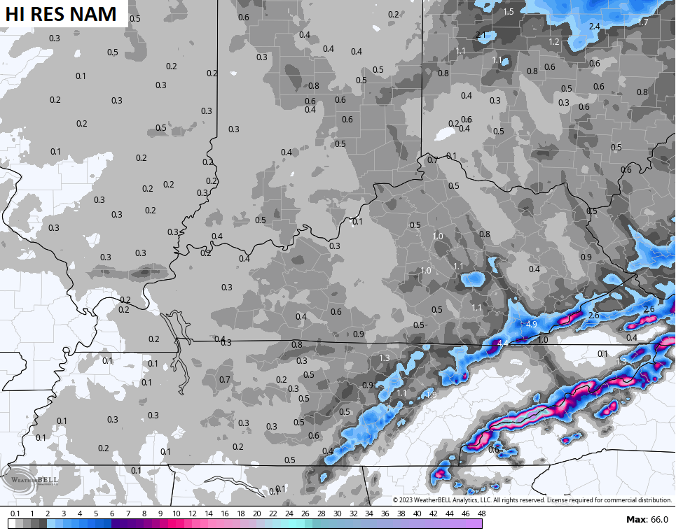
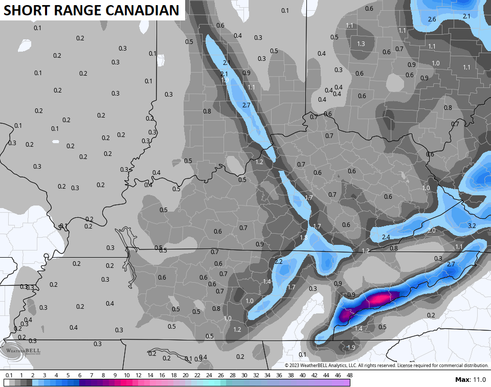
The northwest flow coming in behind all this sets up from later Thursday night through Friday night and will likely put down some light accumulations. The high ground across southeastern Kentucky does much better than everybody else. Here’s your First Call For Light Snowfall…
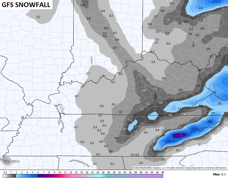
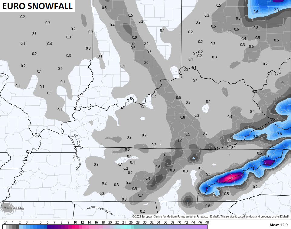
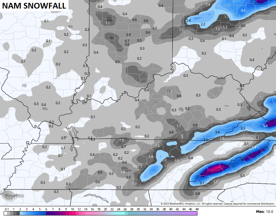
The forecast models show the potential for a stripe of heavier bursts of snow to show up, especially with the Lake Michigan plume…
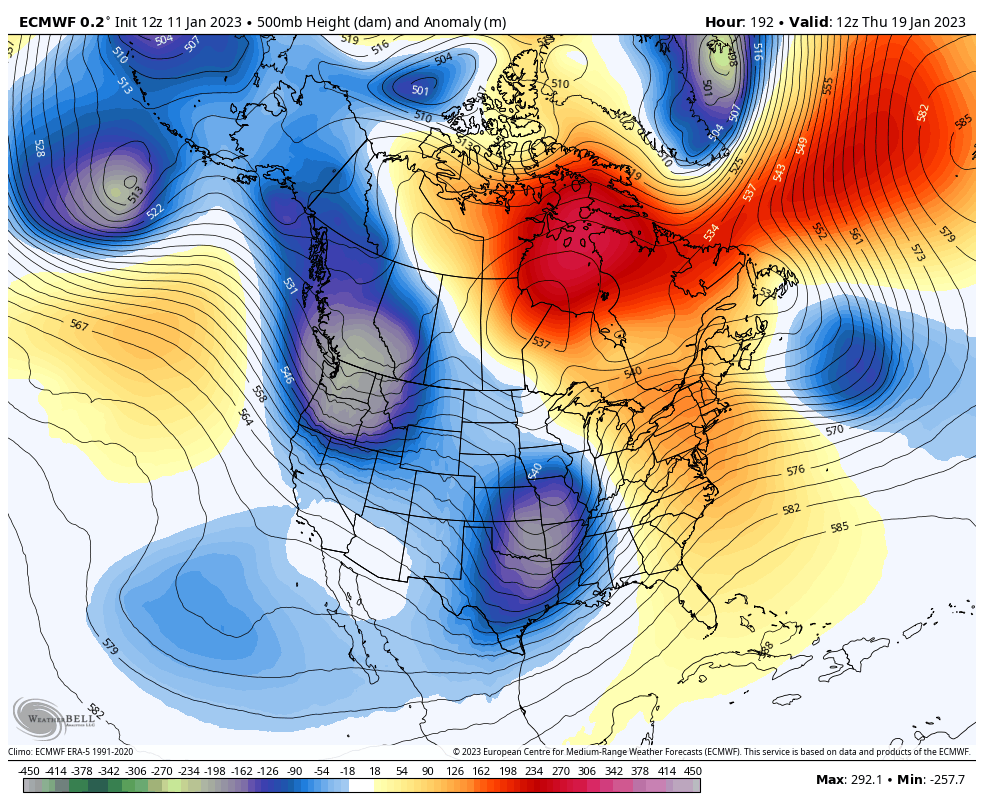
Looking longer range, we find the EURO going toward the pattern the Ensembles have been showing starting later next week…
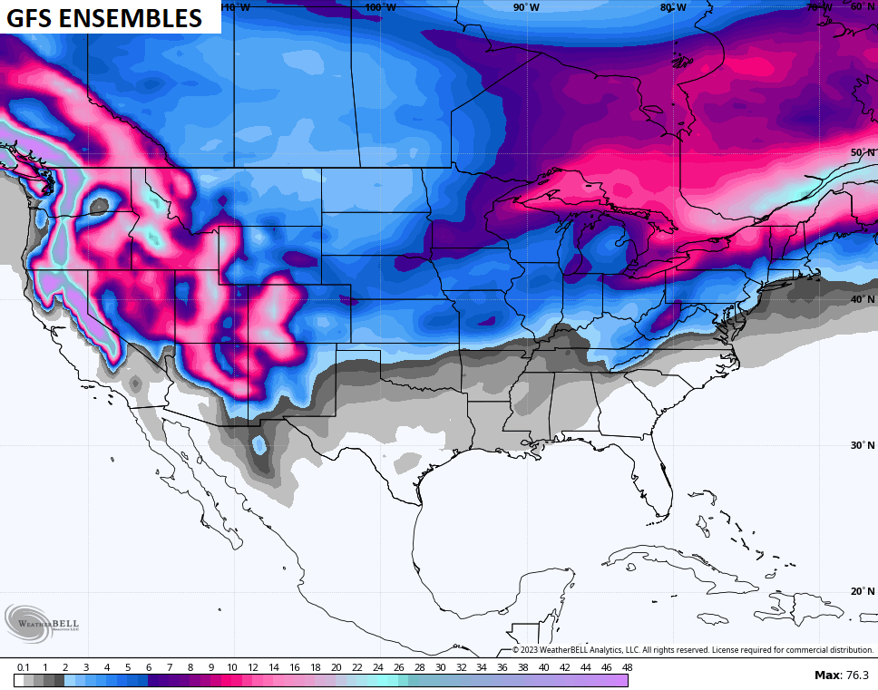
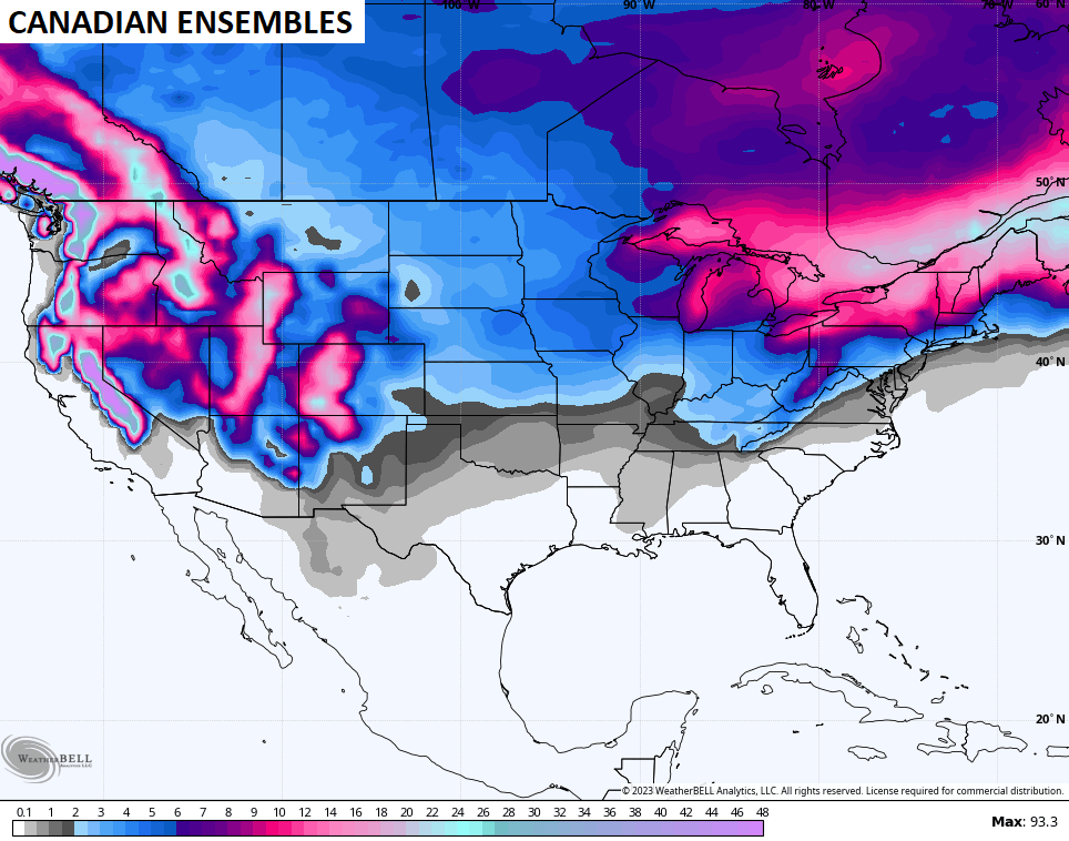
The Ensembles are also going toward seeing the snow chances increasing over the next few weeks…
Enjoy the evening and take care.
