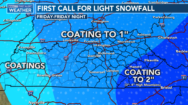
Good afternoon, everyone. Rounds of strong to severe storms continue to rumble across the region as we get set for a quick transition to winter. Light snow accumulations are a good bet as we head into Friday and Friday night.
This morning’s storms caused some damage in parts of the state. Mercer, Grant and Madison counties appear to have received the brunt of the damage. I wouldn’t be surprised if the NWS finds this damage from a weak tornado.
The threat for additional severe storms continues this afternoon, but will end from west to east as the day wears on. Here’s the latest Severe Weather Outlook from the Storm Prediction Center…

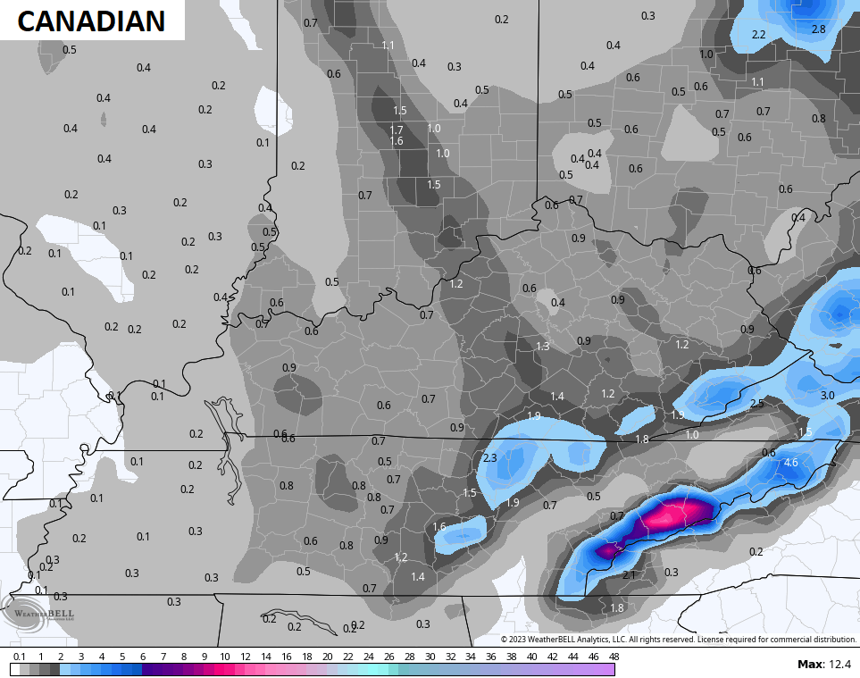
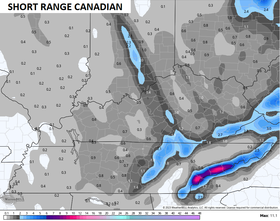
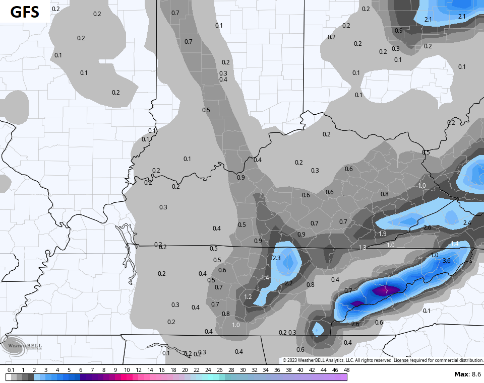
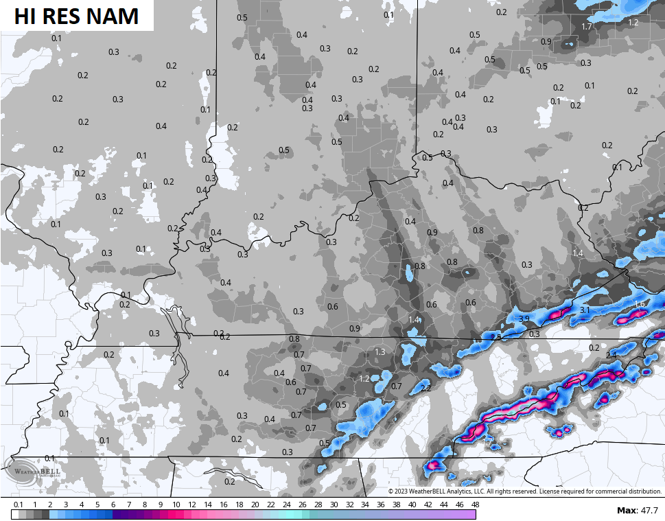
Cold northwest winds will blow tonight through Friday night. That brings ins areas of light snow and snow showers to much of the region. I still expect light accumulations…
The models continue to show our Lake Michigan snow plume very well…
If we are to see slick travel, that would most likely happen after dark on Friday.
Let’s get back to the storms of today. I have you all set track away…

Current watches

Possible Watch Areas

Have a terrific Thursday and take care.

thunder rolls/ garth.
Jim sure did a great job this morning.