Good Sunday to one and all. It’s a better looking and feeling day across Kentucky, but the overall busy pattern remains unchanged. We have several storm systems to track over the next week as winter presses in from the northwest by next weekend.
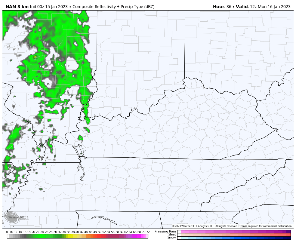
The first system arrives late on our MLK holiday Monday and pulls out of town early Tuesday. This brings showers and a few thunderstorms rolling through here from the west. This is the Hi Res NAM Future Radar from 7am Monday through 7am Tuesday…
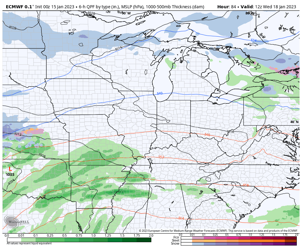
The next system follows that up with more showers and a few thunderstorms by Wednesday and Thursday, with another system behind that over the weekend…
Regardless of our temperatures, this hyper-active pattern really doesn’t show any signs of letting up. The core of the heaviest precipitation looks to set up right on top of us through the middle of February, at least…
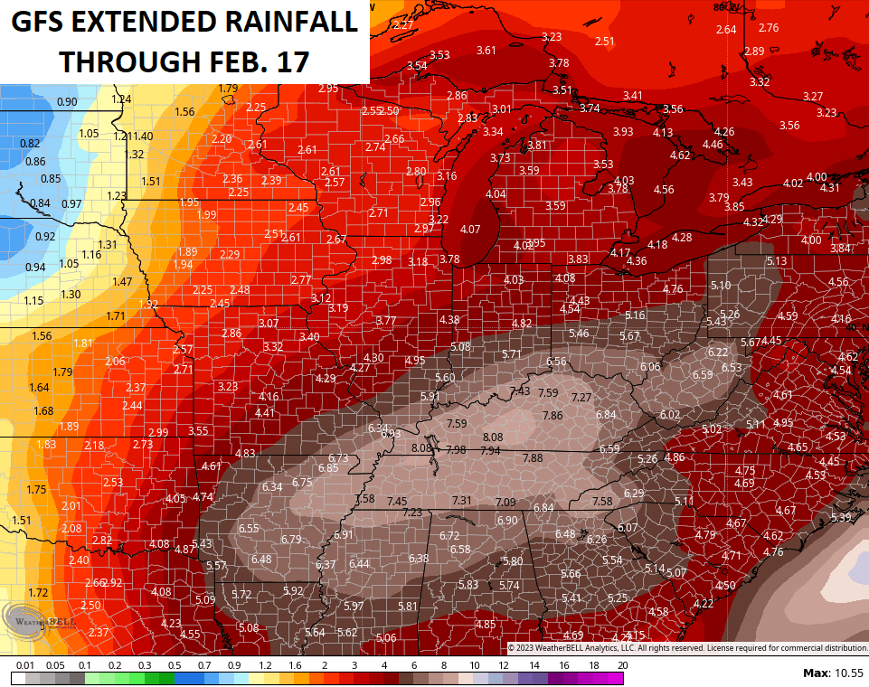
Again, it will be hard to have this many storm systems rolling through here without a few producing snow and ice. The average snowfall map from the 21 members that make up the GFS Extended show this…

I’ll be back here for my normal updates. Have a good one and take care.

fireman strait
Today’s song should be celebration by Kool and the gang. Cats won
@ Schroeder
Hope you’re OK… You haven’t posted in a while
Thanks Mark. I have’t been posting because people may be getting tired of reading about me commenting on the Southeast Ridge, the teleconnections and our current weakening La Nina. I enjoy reading your comments and other commentator comments about what information they may provide concerning the weather pattern this Winter so far. I’m OK Mark and I thank you caring. Everyone enjoy your Sunday.
Glad you’re ok… I say feel free to comment daily… sometimes I just don’t have the ambition…that in addition to the fact that you have to choose your words so carefully or it won’t post. Even G rated words.
I think one of 2 things will happen…since January has been warm…. Either we are going to have another Feb / March like we had years ago with cold/snow… OR, we will continue on the rest of the winter like this with small cold snaps and maybe some ankle biter snows.