Good afternoon, folks. After a frosty cold start to the day, the afternoon looks really nice out there as temps slowly warm to near normal. As we look into the week ahead, we have several more systems set to impact the weather around here.
MLK Day on Monday will feature increasing clouds and showers developing from west to east late in the day. A few thunderstorms may even join the party as this system zips in from the west, then zips out fairly quickly Tuesday morning.
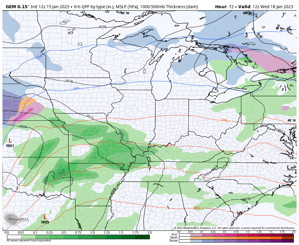
Temps remain mild Tuesday and Wednesday as we get ready for the next system to rumble in from the southwest. This storm will bring rain and some more thunderstorms in here from late Wednesday through Thursday. Colder air wraps in behind this by Friday with the chance for some flakes to fly…
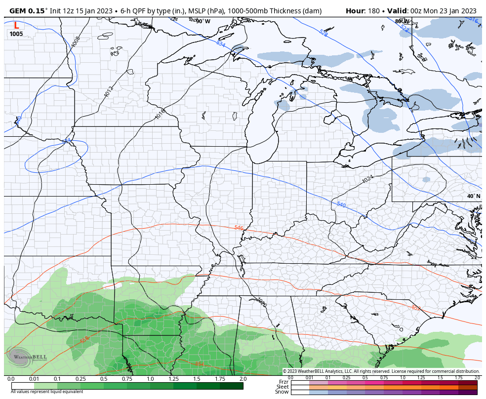
This active setup then throws another storm system at us next weekend/early following week as the overall storm track starts to sink farther south and east. Notice the tail end of this animation at how the next storm looks to be even farther south…
The Ensembles are still adamant on a deep trough taking over…
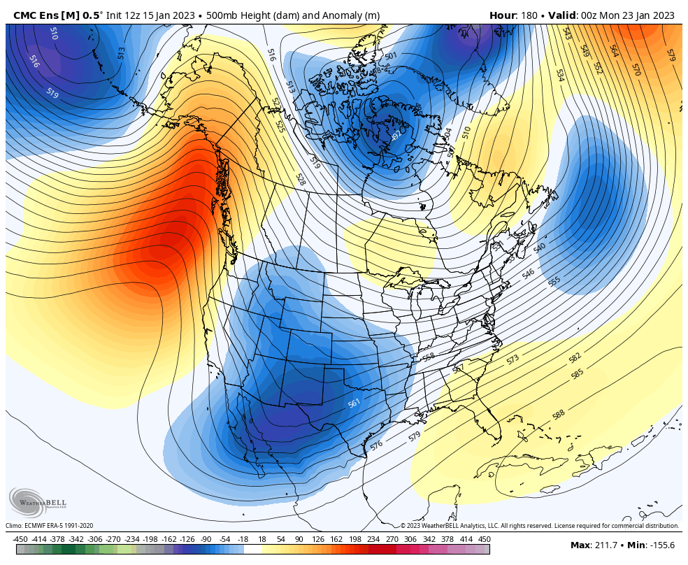
That orientation will continue to feature an active southern storm track!
If you notice, I’m not using the GFS very much. We know the model has issues, but it’s currently last among all models in skill scores. It’s THAT bad, folks.
I’ll have another update this evening. Have a good one and take care.

Thanks Chris, I agree 100% that the GFS model has some serious issues. I still think that Winter weather is going to regain either later this month or in February and last through March ? I’m glad we are having our timely rains here lately to replenish the soils.
Chris, thanks so much for your weather blog and forecasting. We appreciate your dedication and professional information/opinions.
The very frigid Arctic air is currently locked up in Siberia. The AO is running slightly negative and the NAO is currently positive. Here in the lower 48 we have a fast zonal flow bringing mild and rainy weather. Hoping the severe weather stays away as we slowly come out of this ENSO / La Nina pattern and hopefully change to ENSO / neutral in February or March ?