Good evening, everyone. Here’s hoping this post finds each of you enjoying the closing hours of the weekend. I have no changes to the forecast for the week ahead as several systems get ready to impact the region.
I won’t rehash everything, but we will take a look at the latest run of the European Model. Earlier, I mentioned how the GFS was scoring last on the skill scores that ranks the current performance of all the models. Guess which model is number one? The EURO.
The latest run of the model is much farther south with the system coming in next weekend and shows a farther south look with the system behind it next week…
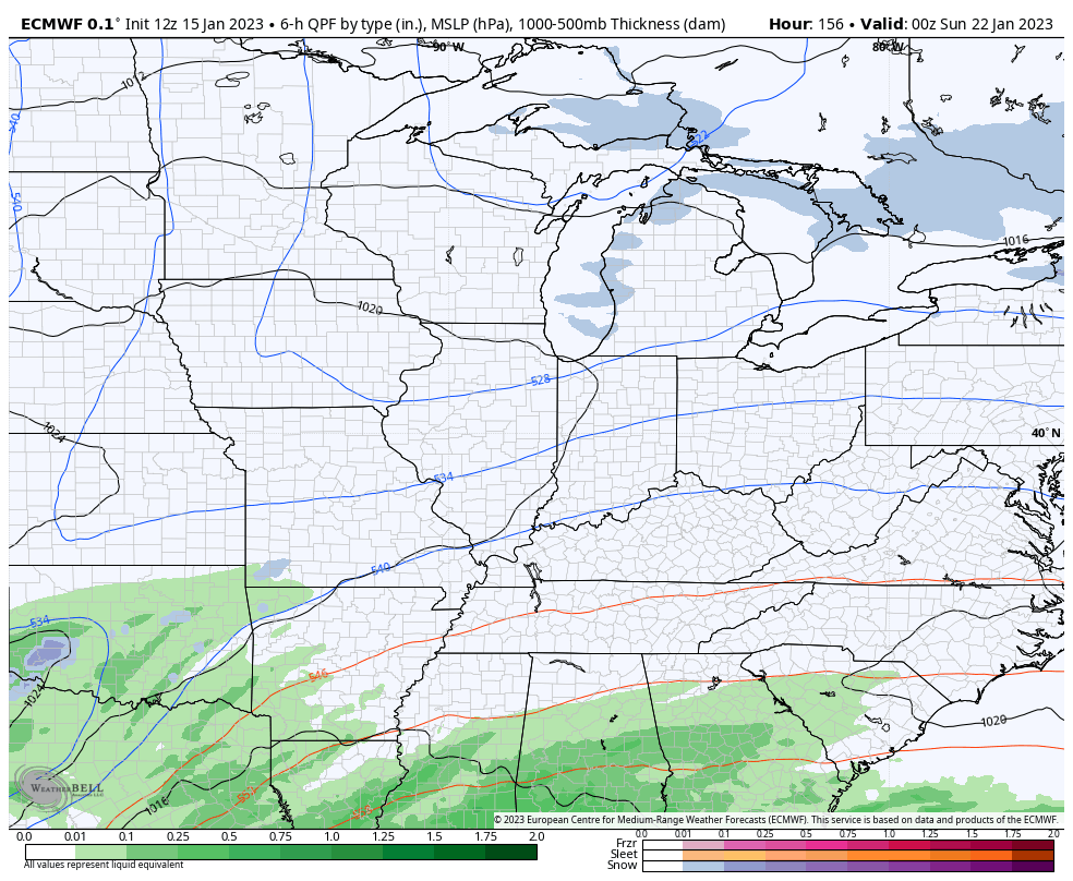
That’s what happens when a model sees the development of the deep trough…
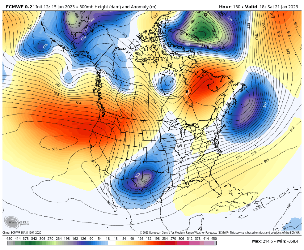
That’s something the Ensembles have been bullish on for quite some time now. How much of a pushback will we see from the southeast ridge? That’s the question, but it’s likely to put up a fight and lead to many more big storm systems rolling through here with a lot of precipitation.
Enjoy the rest of the evening and take care.

We may finally see a light at the end of the La Niña tunnel. The latest Sea Surface Temperature Anomaly chart continues to show that the waters are warming in the western equatorial Pacific. NOAA’s CPC is now predicting an 82% chance for ENSO neutral conditions by May, an increase over the 71% chance in December. Historically, the transition from La Niña to ENSO Neutral can signal an uptick in severe weather, which we do NOT want to see.
https://www.ospo.noaa.gov/Products/ocean/sst/anomaly/
Happy New Year everyone! Has anyone seen Shcroeder? Havent seen him post for a while, hope he is okay!
I’m Okay, just not posting as much. Thanks for caring.