Good evening, folks. It’s a wet end to our Dr. Martin Luther King Jr. holiday as showers roll through Kentucky. This is from a series of systems set to impact our region over the next few weeks, with winter weather showing up.
There’s nothing left to do with today’s rain other than to track it across the state. That’s what your radars for…

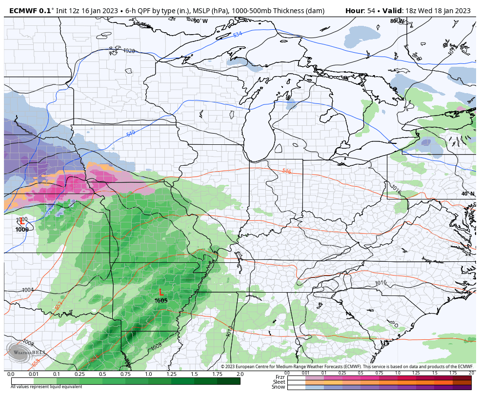
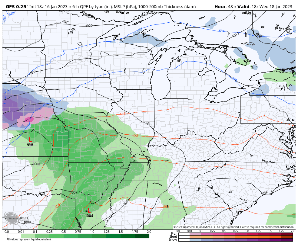
We have two more systems set to impact us through the upcoming weekend. The first one brings widespread rain and a few thunderstorms in here late Wednesday and early Thursday. The one coming behind it over the weekend has the chance to bring rain and some snow.
Here’s how the EURO looks with both of these systems…
The GFS is trying to get back to showing a little winter with this second system…
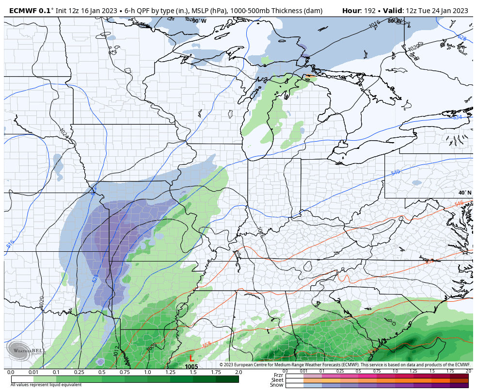
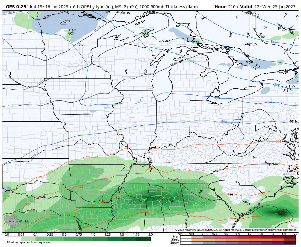
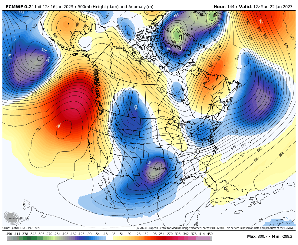
That will be followed up by another storm system a few days later next week. Here’s a look at how the EURO is playing that as of now…
And the GFS for the same time…
You can clearly see how the EURO is going straight toward the pattern change offered up by the Ensembles…
Let’s do this!
Enjoy the rest of the evening and take care.
