Good evening, folks. Winds and temps are both coming down as we go into a pattern more typical of winter. This will bring snow showers and flurries in here for Friday and that’s ahead of two winter systems set to impact us this weekend and next week.
Today’s winds peaked in the 50-60mph range in some spots, causing damage and even injuring 3 people in Elizabethtown.
Those winds are coming down this evening as temps drop quickly from the northwest. A few rain and snow showers will drop in late this evening from the northwest, setting the stage some snow showers and flurries later tonight.
Here are your radars for the evening…

Those snow showers and flurries will be noted through Friday before winding down Friday night. The Future Radars from the HRRR and Hi Res NAM show a few decent bands…
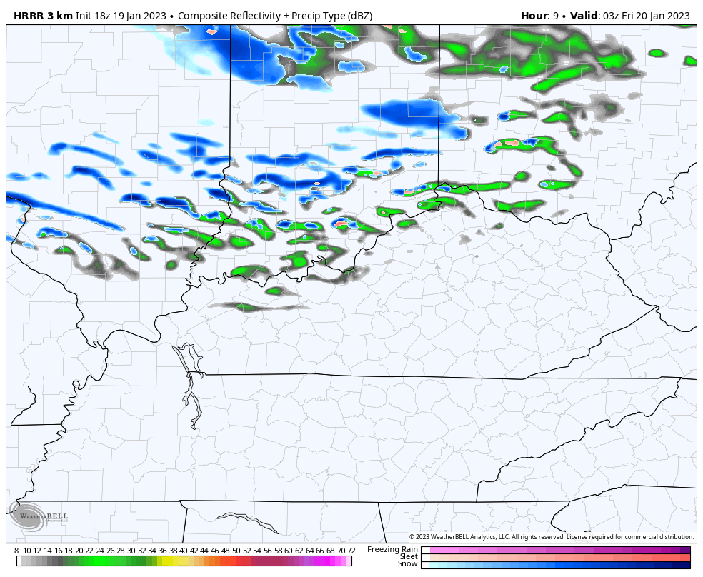
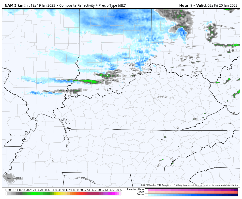
A few hit and run slushy accumulations may show up.
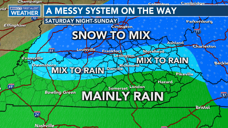
The system coming in for Saturday night and Sunday looks light and messy. Here’s an early look at what we may see during that time…
Wraparound snow showers and flurries will then kick in behind that Sunday night and Monday morning.
Most models agree with this, but the NAM decided to be an outlier…
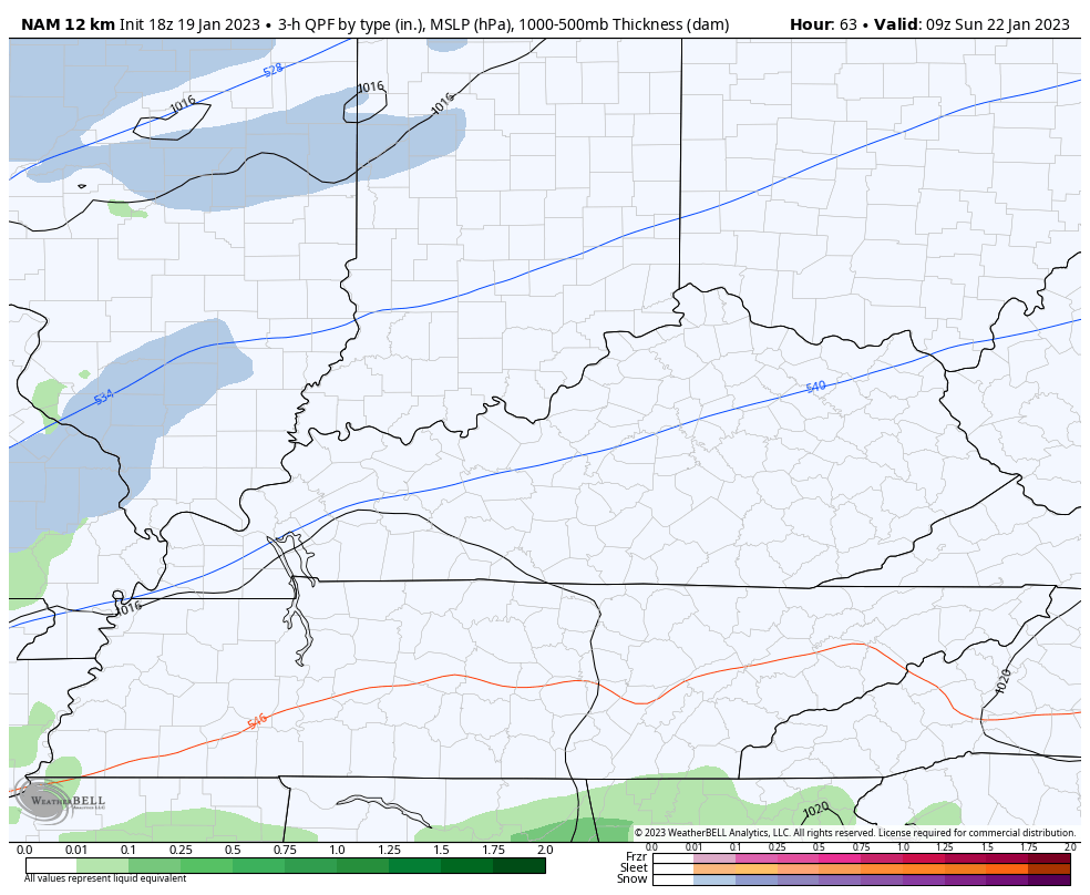
It has no friends, though. 😜
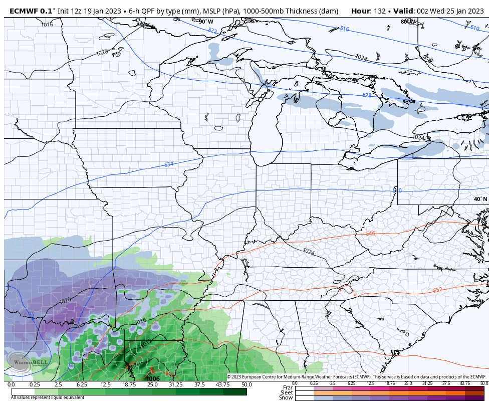
The system coming late Tuesday into Wednesday is also a work in progress with the rain/snow line again setting up in our region. This one has much colder air working in with it and should also have a light snow maker behind it…
Enjoy the rest of your evening and take care.

At 8pn in the town of wayne, wva. It is 59 and mostly cloudy
Isn’t it crazy thatvit’s this warm at night in the middle of January?!!?
Starting to think there won’t be anymore good snow chances….