Good evening, everyone. Winds are coming down as temps do the same. This drop in your thermometer will be accompanied by snow showers and periods of light snow tonight through Thursday night. This will put down light accumulations for many.
Winds this afternoon hit as high as 55mph into central Kentucky, but the numbers are dropping quickly. Temps are also dropping through the 30s with rain and snow showers breaking out. These snow showers and areas of light snow increase tonight and take us through Thursday night.
There’s even the chance for a few snow squalls on Thursday. Those could put down pockets of blinding snows at times. This is where those streaks of 1″-2″ can show up, but that doesn’t mean everyone sees those streaks. That’s where the “coatings” part of the forecast comes into play. ❄😜
Here are your rain and snow shower tracking tools for the evening…

Go to our weathercams page to check out the views from across the state…
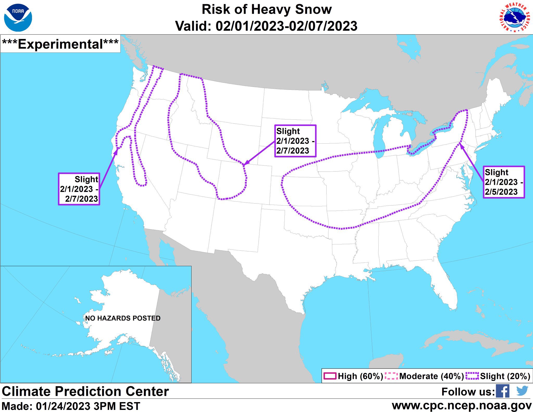
The overall setup continues to shift the storm track farther south and east next week and into early February. The WPC is also highlighting this…
This push comes as much colder air takes control of the country, especially into our region and west…

Those numbers are well below normal for early February!
Enjoy the evening and take care.
