Good evening, folks. Snow showers and flurries are winding down as we focus on the weekend forecast that looks half and half. Beyond that, the active storm track continues, but focuses farther south and brings more of a winter look to the region.
The snow showers this evening can still put down some hit and run coatings, especially in eastern Kentucky. Here are your flake tracking toys…

Go to our weathercams page to check out the views from across the state…
Friday is a windy day with a small chance for a late shower in the north. This kicks off a nice start to the weekend with temps reaching the 50s on Saturday. Enjoy it because rain moves in quickly Saturday night and Sunday. That may end as some flakes on Monday…
That lays down a boundary that has a lot of cold air to the north and west of it. Several areas of low pressure are likely to develop along this boundary and this means our region can see snow, rain, mix and even some ice. It’s all about where this boundary sets up.
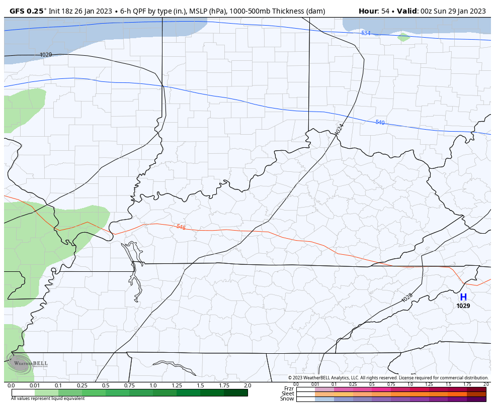
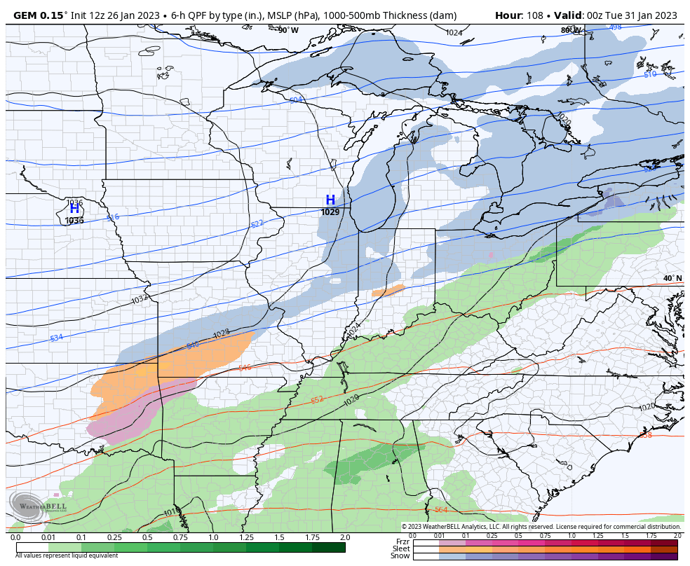
The models are seeing the potential…
EURO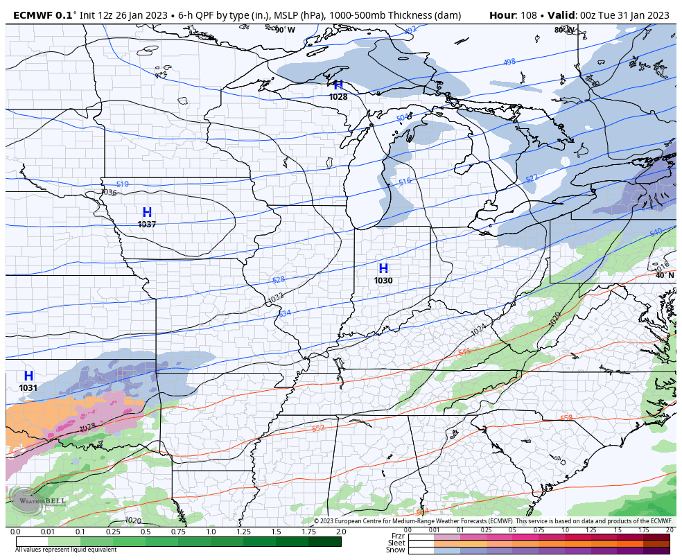
CANADIAN
We shall see how this works out in the coming days, but it’s a healthy signal.
Enjoy the evening and take care.

Looking at both models, I would say that history favors the Canadian.
The various weather models haven’t agreed on any weather event so far this Winter. Back in December 2004 all the weather models agreed that a Snowstorm was going to occur three days before it happened. What has changed with the weather models today ? In my opinion this is dangerous when severe weather season is just four weeks away.