Good afteroon, everyone. It’s a rainy and chilly day across the Commonwealth as we get set for winter weather to impact the region in the week ahead. This continues to look light, but it may still cause a few travel issues as early as Monday night and Tuesday.
The steady rains are pushing out of the area today, but showers and drizzle remain. This is making for a very ugly Sunday in Kentucky as temps hang out in the 40s.
Here are your radars for the rest of the day…

Colder temps slowly take control from northwest to southeast on Monday. The boundary responsible for the temp drop will have a few showers along it and some mixed precipitation behind it.
The front gets more active Monday night and Tuesday as a wave of low pressure moves along it. With cold air in place at the surface and overrunning moisture, a light wintry mix of snow, sleet and some freezing rain will show up.
As of now, this continues to look light, but it will likely cause travel issues and bring some cancellations and delays.
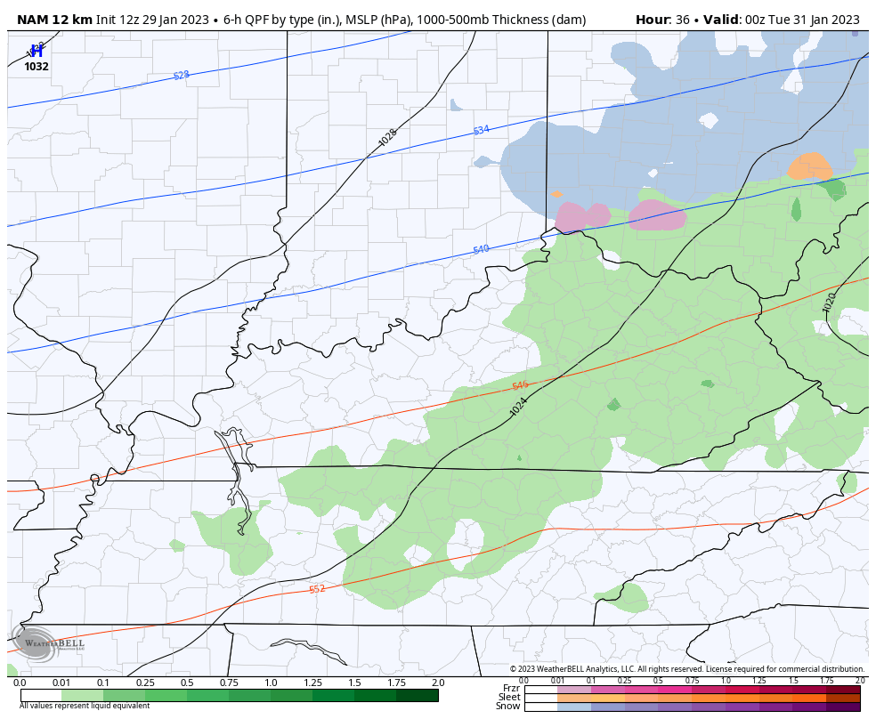
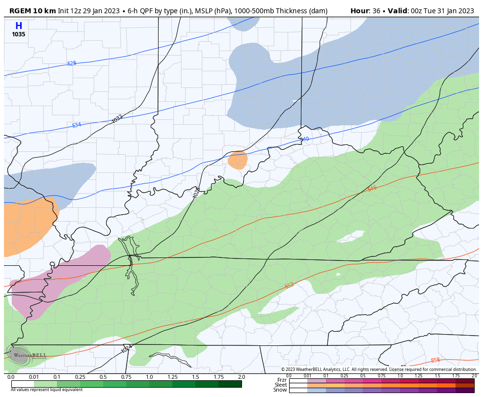
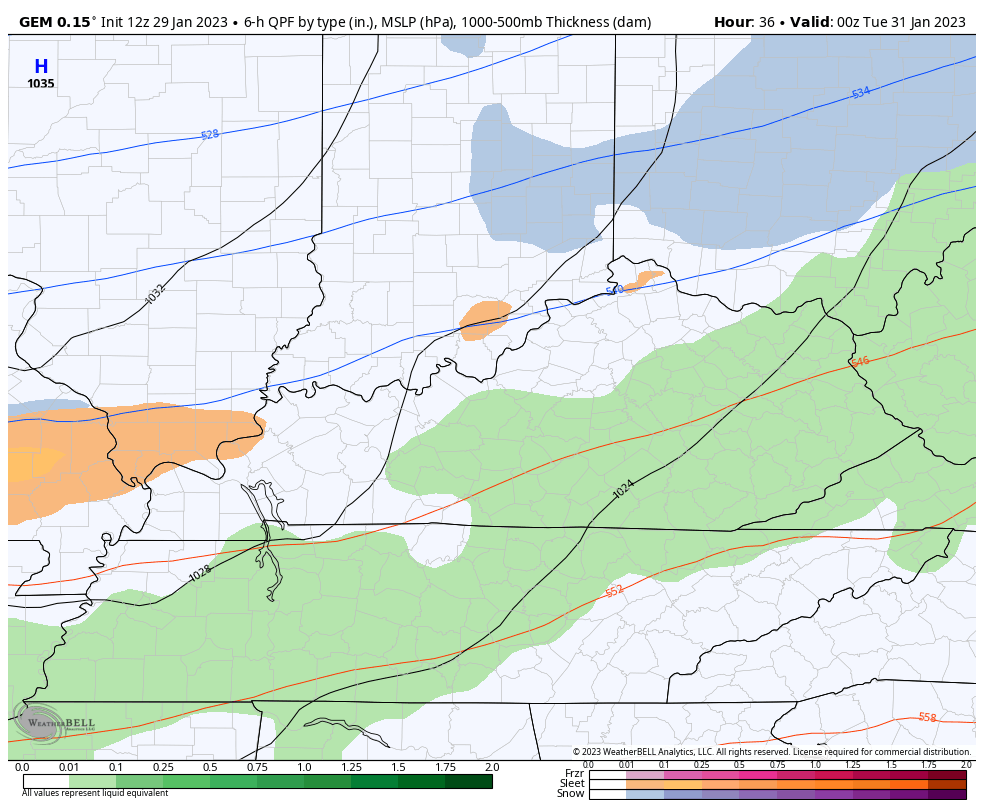
The NAM is still the strongest of the bunch in terms of the amount of precipitation. This animation goes from 7pm Monday through 7pm Wednesday…
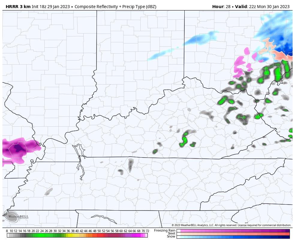
The NAM does have a friend now in the HRRR. Here’s the Future radar from 5pm Monday through 1pm Tuesday…
Here’s the Short Range Canadian during the same time and it has trended a little more toward the NAM…
Another system tries to develop behind this one later in the week, but most of the models keep this to our south. Here’s the Canadian showing the first system and the one staying south later this week…
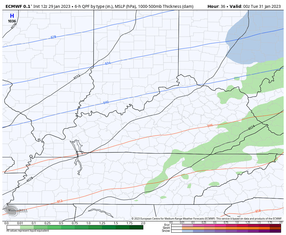
Here’s the EURO for the week…
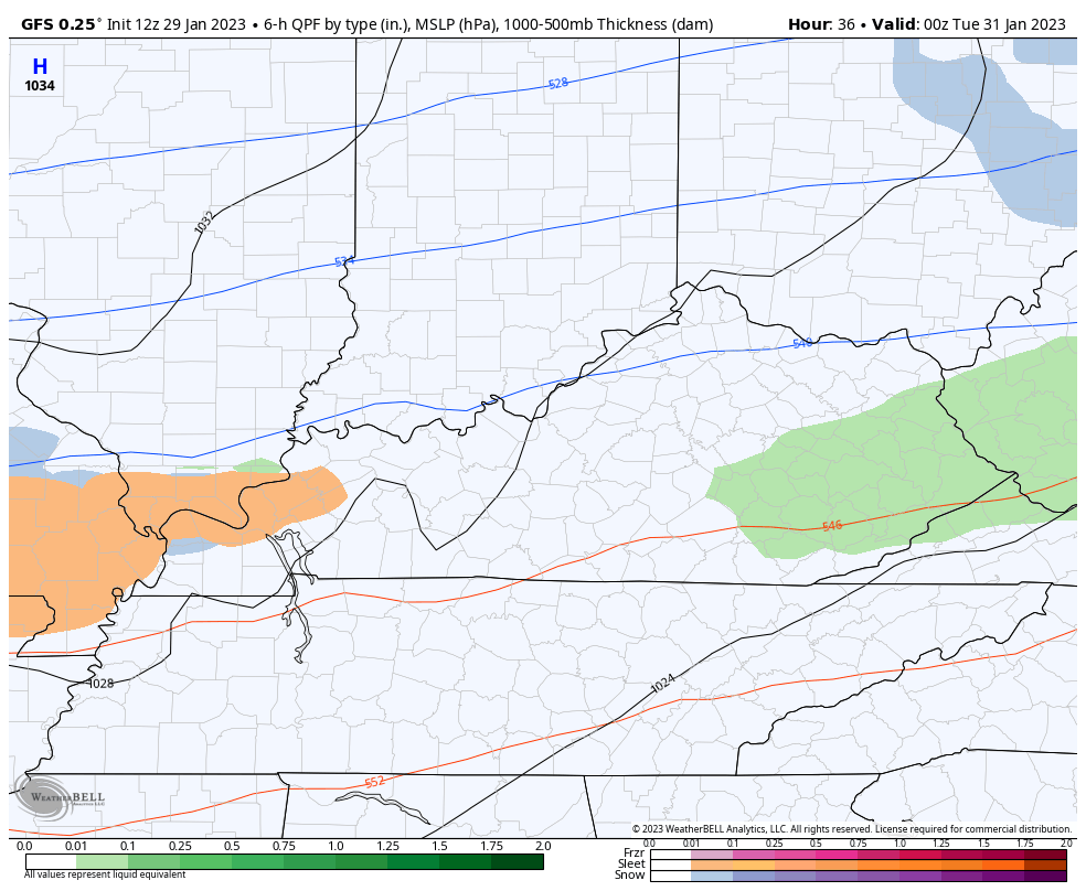
The GFS continues to correct itself with both systems, but is still the snowiest with system one and somehow still brings only rain in for the end of the week…
I have this little football game to watch this evening, so that’s all you kids get today. Make it a great rest of your Dey and take care.

They have put out a winter advisory here in my part of world western ky for tonight untill 9 tomorrow morning snow and ice is in the forecast.
Thanks CB. Good news that ice looks like not a big power issue. Lame for snow this winter, but is what it is!
The lame part is those lousy weather models. Still not 100% agreement and the event is expected in two days and they still don’t know where and what.
Bust.
RIP winter
I have a strong feeling Russell there may be a Snow event sometime in either February or March, so hold off on RIP Winter until early April.
Hope you’re right hoping for one good snow