Good evening, folks. Another round of light winter weather is rolling across the state, impacting areas along and south of Interstate 64. Light snow, light sleet and light freezing rain may cause travel issues once again.
A Winter Weather Advisory is out for areas along and south of Interstate 64 tonight…
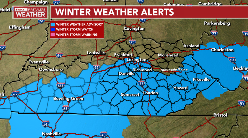
I have no idea why the NWS in Jackson has the dip for areas between the Mountain Parkway and Interstate 64.
Here’s what I’m expecting from this light mess…
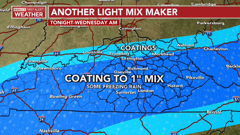
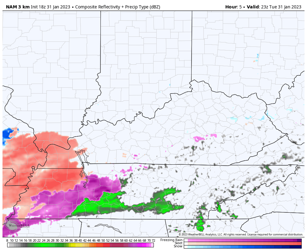
The Future radar from the Hi Res NAM shows this light mess scooting through here fairly quickly tonight…
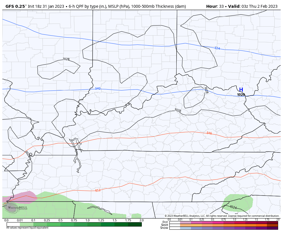
The next system for Thursday is all over the place on the models. The NAM shows the southern half of the state being in the line of fire for another mix…
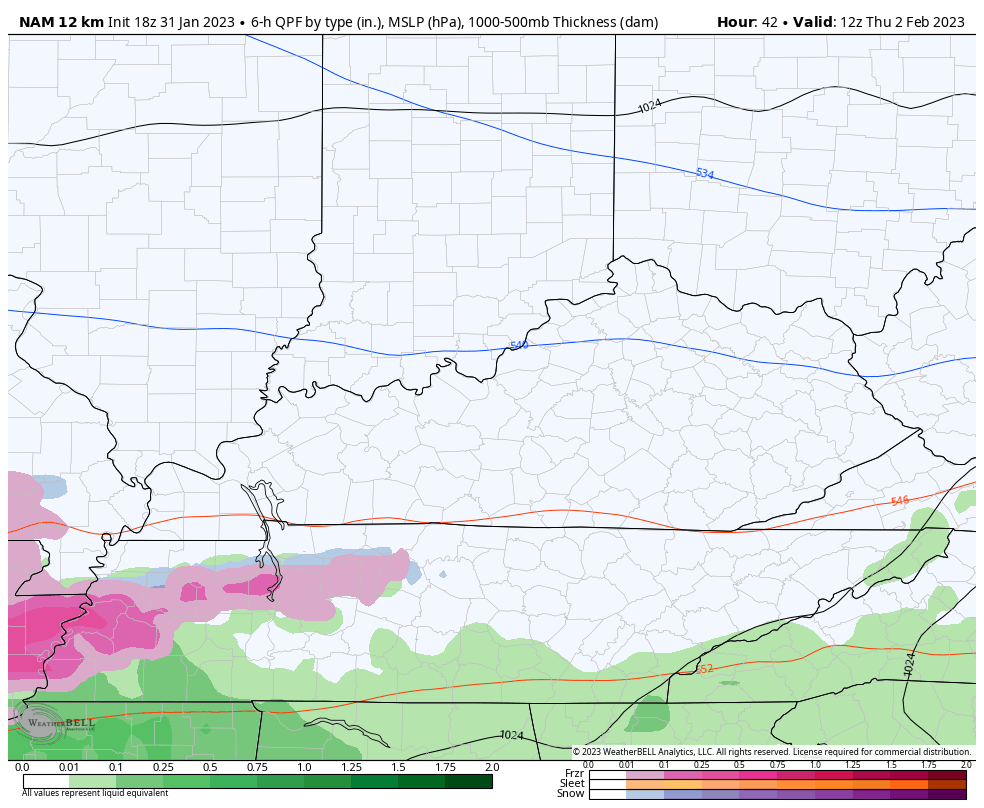
That’s something the GFS has been showing and continues to show…
Cold air will continue through the start of the weekend as dry skies return. The pattern starts to turn milder again by early next week and I’ll get into all that coming up later tonight.
Let’s do some light wintry mix tracking for the evening…

Go to our weathercams page to check out the views from across the state…
Make it a great evening and take care.
