Good afternoon, folks. The sun is starting to shine on My Old Kentucky Home as we track another system that tries to swipe our southern counties with another messy mix. After this moves away, drier and colder air settles in for the start of the first weekend of February.
This next storm is a bit farther south than the past two and will bring more nasty weather from Tennessee and southwest. Some light mix will get into the counties that border the Volunteer State overnight and early Thursday, but the models keep most of the action to our south.
Here’s the Future Radar from the HRRR…
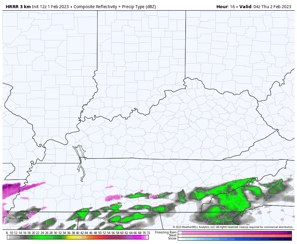
The cold air keeping that system largely to our south may also cause a few flakes to fly from Lake Michigan all the way into parts of central and eastern Kentucky. The Canadian is picking up on this potential…
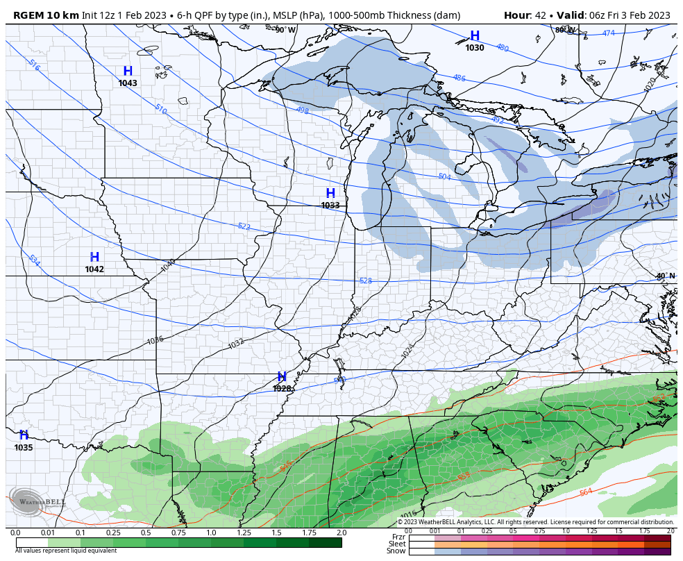
That’s a windy and cold setup for us Friday into Saturday and may drop those wind chills toward the single digits by Saturday morning.
The rest of the weekend is windy and dry as temps come up a bit for Sunday. This is ahead of a couple of systems taking aim at us next week, with the first arriving with showers later Tuesday or Wednesday.
Temps ahead of these systems look to spike. #TeamSpring
I’ll drop by for another update this evening, so check back. Make it a great day and take care.

I’m holding off on #TeamSpring until sometime in April.
If it’s not going to snow it might as well be warmer than normal.
We will probably have another cold spring.
‘Strange Times’ we live in.
That would be Okay by me but, the only thing is plant dormancy has been satisfied and seems when we have Spring in February the trees bud out and then we have a hard freeze around Easter. I would predict that we have a 100% chance of that happening this year.
This might be one of the wimpiest winters yet. Counting the Christmas snow, l don’t think Richmond has hit 4″ yet.
I recorded about 2 inches so far here in Maple. Normal is 13 inches.
Hopefully we will all be able to pick up the pieces and go on with our lives after this horrible winter so far.. It would he hilarious of winter showed up in late march/april
With the storm track far to the south, it’s going to be dry here in the Chicago area through early next week.
It remains cold today, with temperatures in the 20s and overnight lows near zero the last two mornings. There’s around two inches of snow on the ground.
Great day to go hiking in the forest preserve by me to take in the winter scene.