Good evening, folks. Cold winds continue to blow across Kentucky and those winds grow even colder in the coming days. At the same time, we are watching another southern system that may graze areas of southern Kentucky tonight and Thursday.
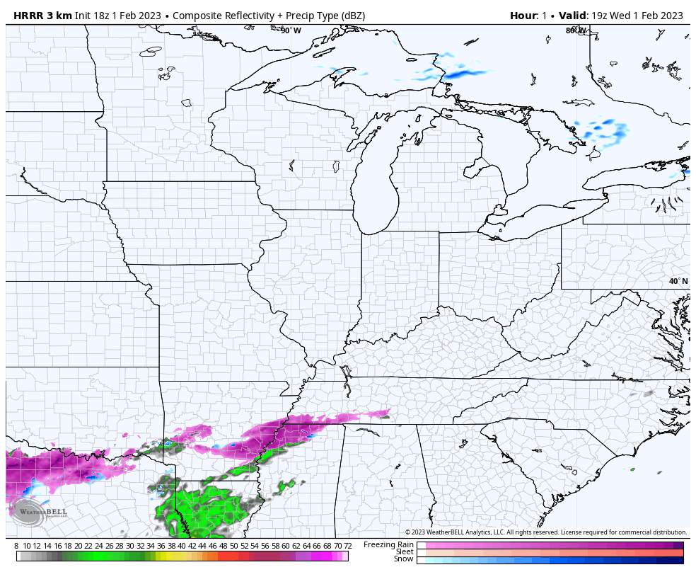
The Future Radar from the HRRR continues to show the majority of the mix just south of the border…
Even colder air surges in from the north late Thursday and sets the stage for windy and cold weather for Friday and Saturday. There’s even the chance for a few flakes to fly on Friday as that northwest wind kicks in.
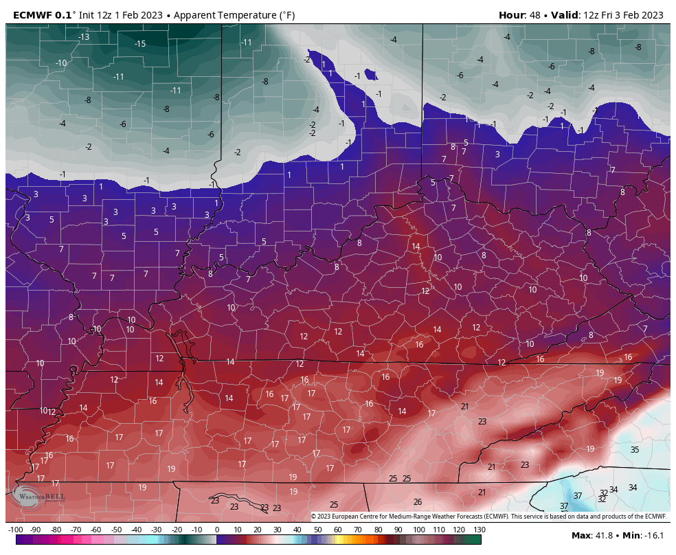
Wind chills are frigid Friday and Saturday with single digits possible to start each day. This Wind Chill animation goes from 7am Friday through 7am Saturday…
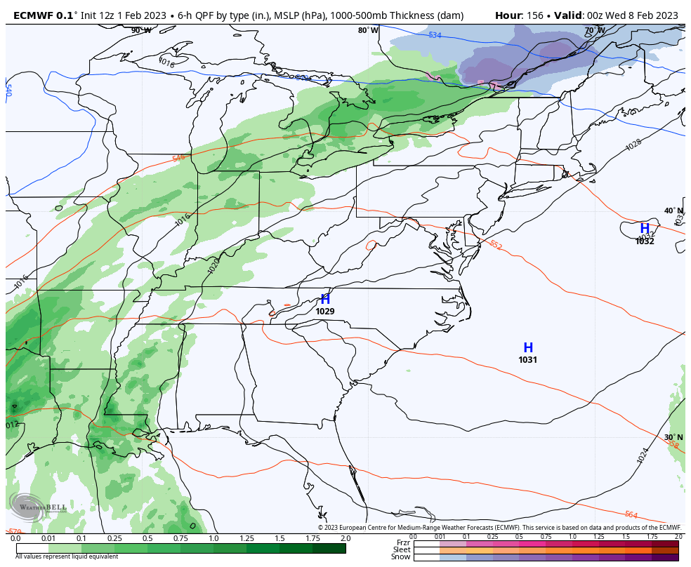
Temps come up some on Sunday and then spike into the 50s Monday and Tuesday. That’s ahead of a cold front arriving late Tuesday and Wednesday with showers. A system should follow that later next week into next weekend…
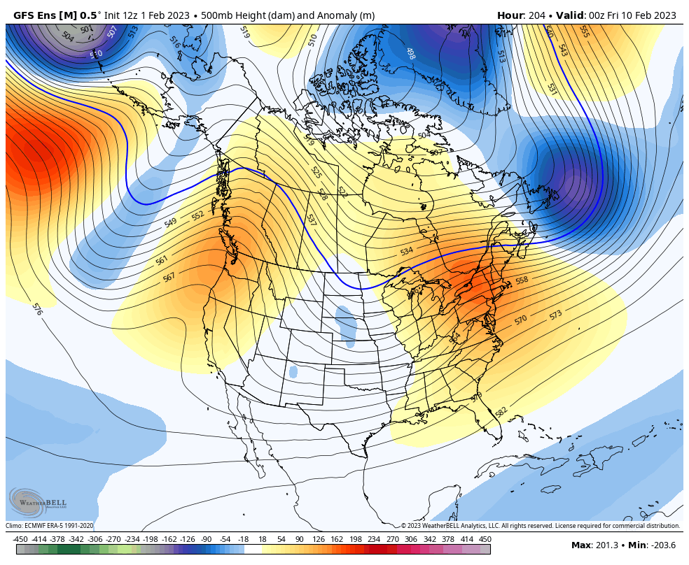
That second system could turn interesting as there’s a growing signal for an eastern US storm on the operational models and the ensembles. You can see this deepening trough on the GFS Ensembles…
Here are your radars to track the stuff to our south and southwest…

Enjoy the evening and take care.
