Good afternoon, everyone. A glancing blow of snow hit far southeastern Kentucky this morning and now comes the coldest wind chills since Christmas. The cold winds blowing later tonight and Friday may even spit out a few snowflakes to kick off the first weekend of February.
The snow across the southeast was in a very small area, but it delivered the goods for some. Here are some pics from my @kentuckyweather Twitter feed…
@Kentuckyweather A little over 2 inches in Knox Co, KY! pic.twitter.com/WA5f3OlPfX
— Eric Hubbard (@EricHub96924049) February 2, 2023
Williamsburg this morning. @nwsjacksonky @Kentuckyweather @cjwxguy56 @brobwx pic.twitter.com/roBGQ9jOtG
— Keegan Hansford (@KeeganHansford1) February 2, 2023
@brobwx @Kentuckyweather a little snow and ice through the night, pretty sights this morning. #BearBranch #GordonKy #LetcherCounty pic.twitter.com/8IoeqEpc74
— Jennifer Lear #JJL (@SweetmamaJJL) February 2, 2023
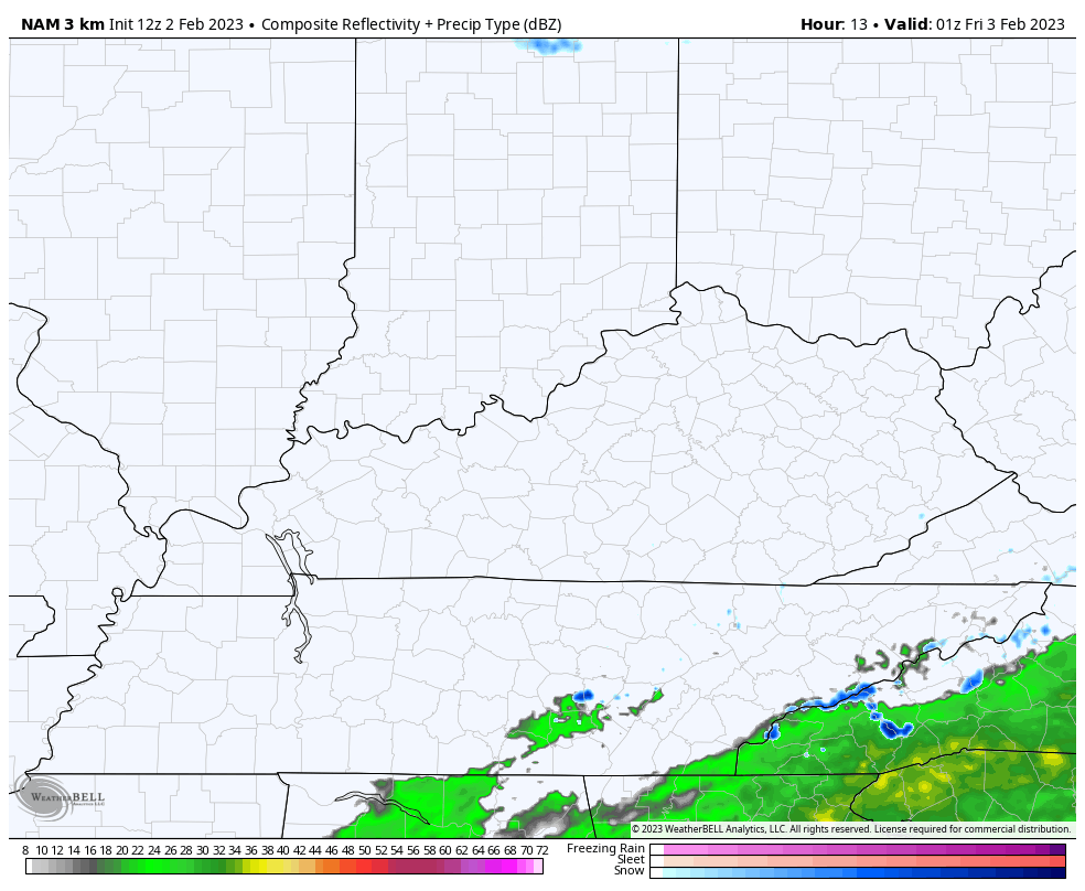
With cold northwest winds coming into the region tonight and Friday, we may very well see a few snow showers and flurries into central and eastern Kentucky. The Future Radar from the Hi Res NAM shows some of this…
Wind chills may reach the single digits Friday morning and then again Saturday morning as we get into the southern edge of a very cold air mass to the north. That moves away quickly late Saturday as winds turn southwesterly and crank. Gusts of 40mph or higher will be possible…
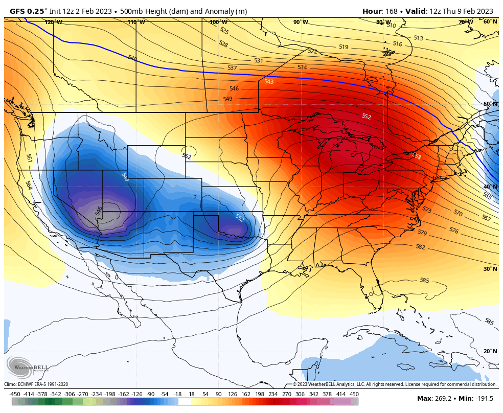
Temps surge on this southwest wind into early next week before a weak front moves in by late Tuesday. That really won’t knock the temps down much. If anything, they may shoot up later next week as a ridge builds in for a day or two. That’s likely to be replaced by a trough a few days later…
Make it a great afternoon and take care.

Thanks Chris, Enjoyed the the beautiful Snow scenes in Southeast Kentucky.