Good afternoon, folks. A strong storm system is set to bring some big time winds into the region over the next couple of days as we continue with our March looking and feeling pattern. Behind this system comes another one that has the chance to deliver some winter weather.
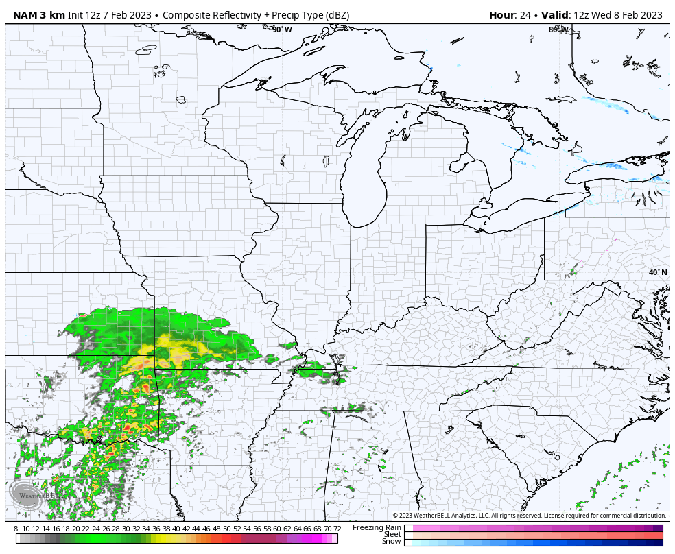
First things first and that’s a weak cold front approaching from the northwest. Mild air is flooding into the region ahead of this front with temps hitting the low 60s for many spots. Winds will gust up as a band of showers approaches from the northwest through the evening. Here are your radars to follow along…

Temps come down a bit behind this on Wednesday with the chance for a scattered shower. Warmer winds begin to kick in late Wednesday with climbing temps through early Thursday. That’s ahead of our potent storm system wrapping up and heading toward the Great Lakes.
This will bring just a few showers to the region Wednesday with a broken band of showers and storms arriving Wednesday night and early Thursday…
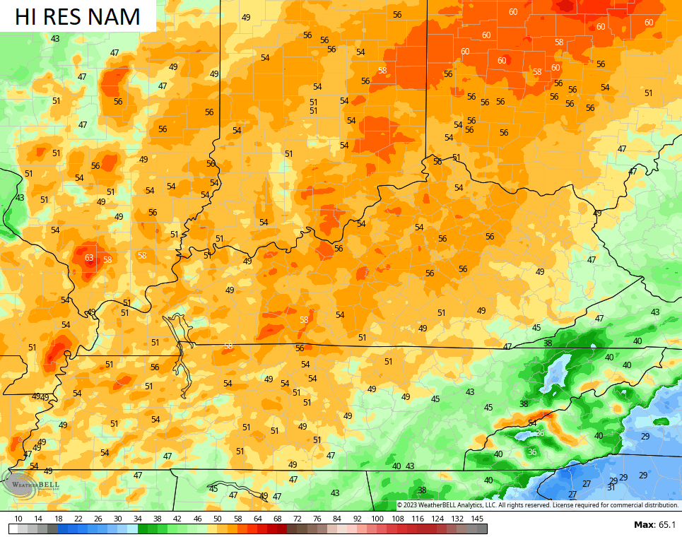
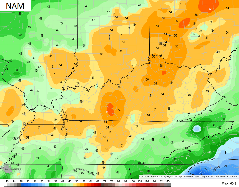
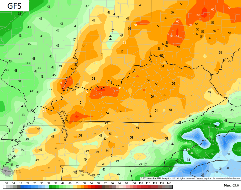
Winds will be very gusty with this setup Wednesday night into Thursday morning. Gusts of greater than 50mph will be possible. The models are showing some wicked wind gusts…
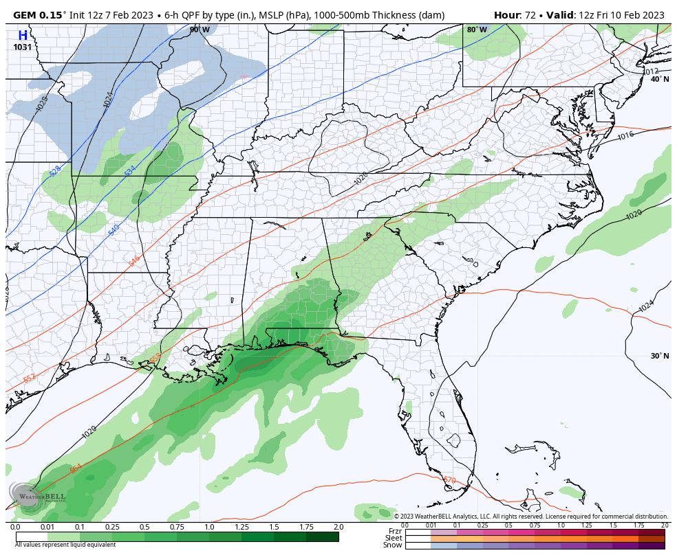
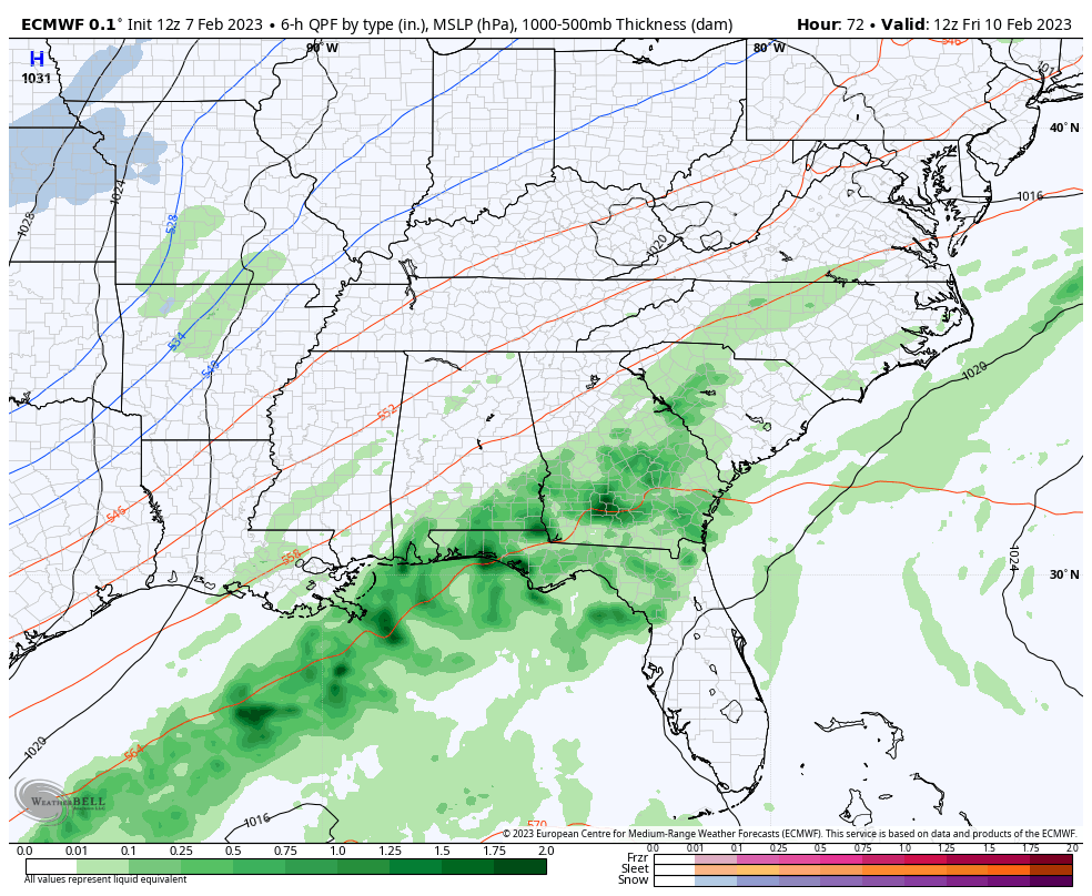
The system sliding in here Friday and Saturday is being ignited by a strong upper level low working into the region. These things have a mind of their own as they kind of like a top spinning on a table. The models are trying to take this upper low farther south through the Tennessee Valley and into the southeast. That means the surface low would also follow, giving us the chance for some rain that ends as a bit of snow on Saturday.
The GFS gives a lot of snow to the Carolinas…

The Canadian has a similar solution, but is a little better with our light snow chances and more diminished in the Carolinas…
The EURO is more in line with the Canadian…
That’s not exactly a nice looking Saturday no matter how you slice it.
I’ll get into more of the extended forecast with my next update later tonight. Make it a good one and take care.

Thanks CB! What is the lowest snow totals for KY? Richmond has yet to aspire to a total of 4″ for winter. I recall a few winters ago being around the same, but this seems even lower.