Good evening, folks. High winds are about to crank across the region tonight and Thursday as low pressure works into the region. This may also bring a small severe threat into the west. Later this weekend, we watch a system that can bring some snow into parts of the region.
A Wind Advisory is out for the entire state tonight and Thursday…
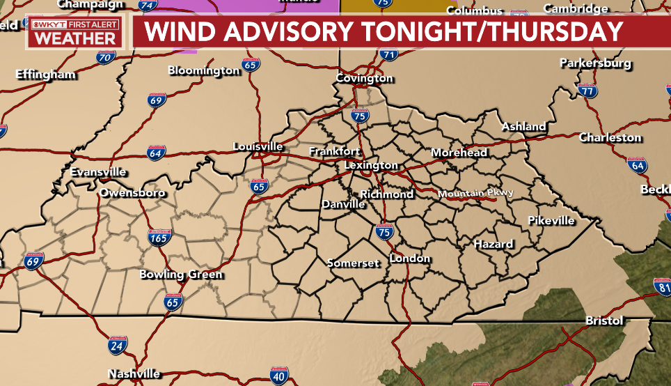
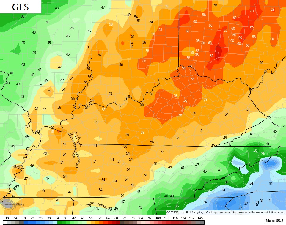
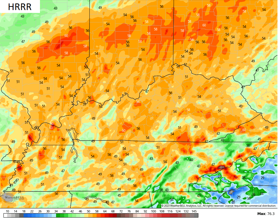
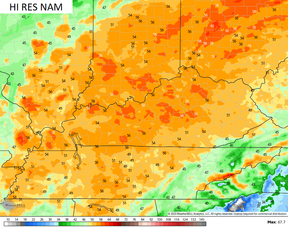
Winds tonight and Thursday may gust to 50mph or higher in many areas. This is something the models have been all over for days now…
We continue to watch the small threat for a few severe thunderstorms across western Kentucky. This is the area the Storm Prediction Center is focusing on…

As the broken line of showers and storms moves into central and eastern Kentucky early Thursday, we will notice a big weakening trend.
The weekend system is changing a little bit as our system looks to dig farther south and east. Check out the progress of this big upper low…
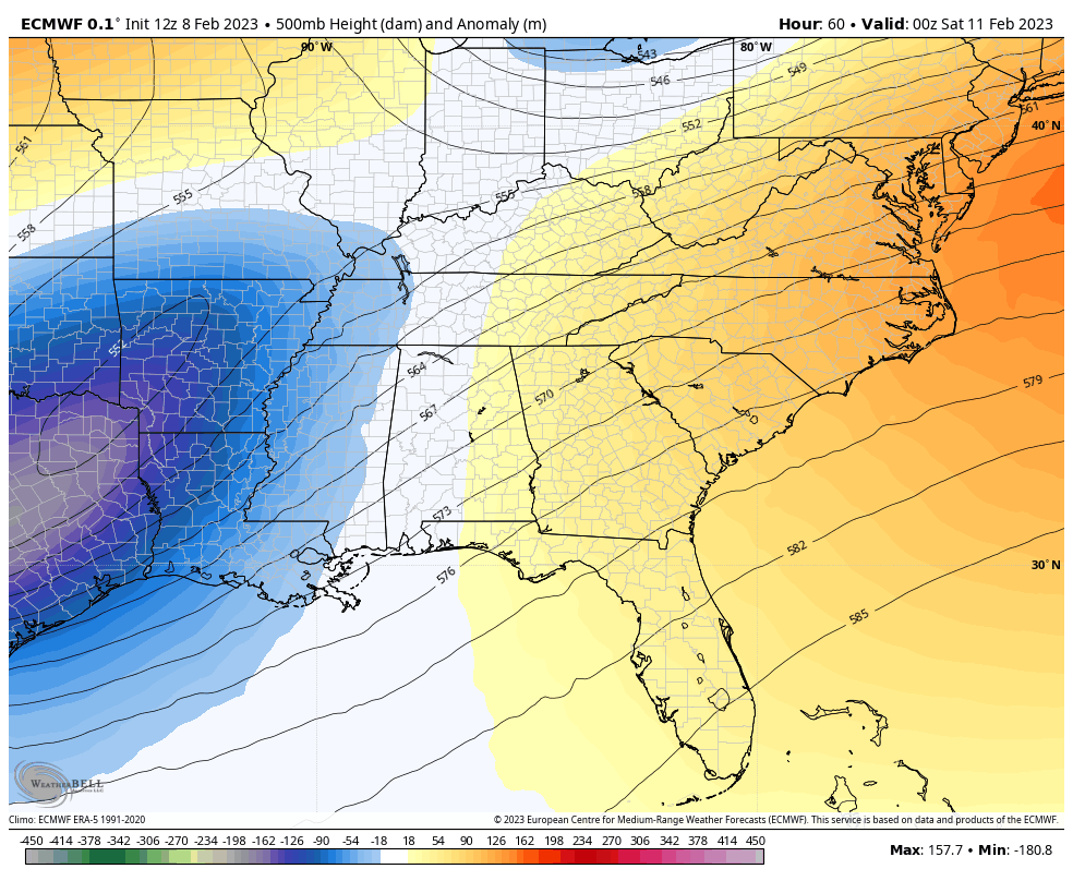
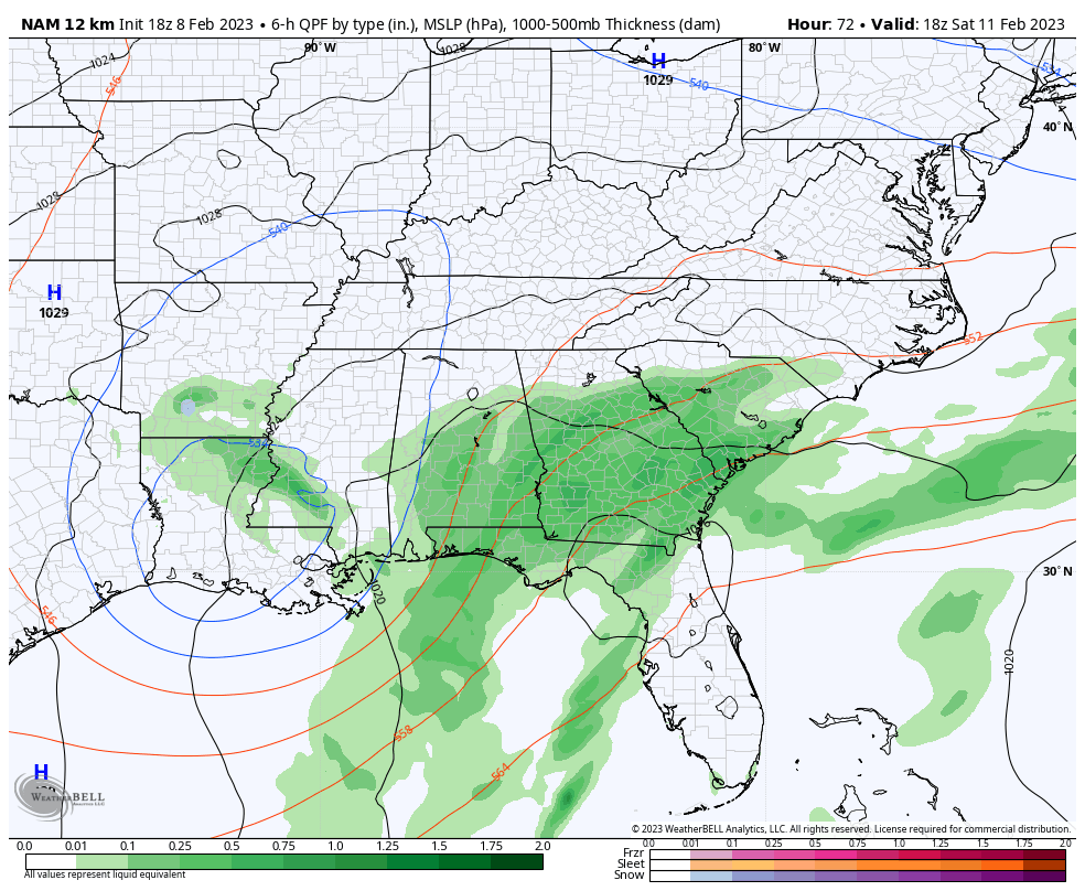
A track like that means we are mainly dry Friday and Saturday, but we have to watch southeastern Kentucky for some snow by Sunday as our surface low deepens across the Carolinas. The EURO is the best snow maker in the southeast…
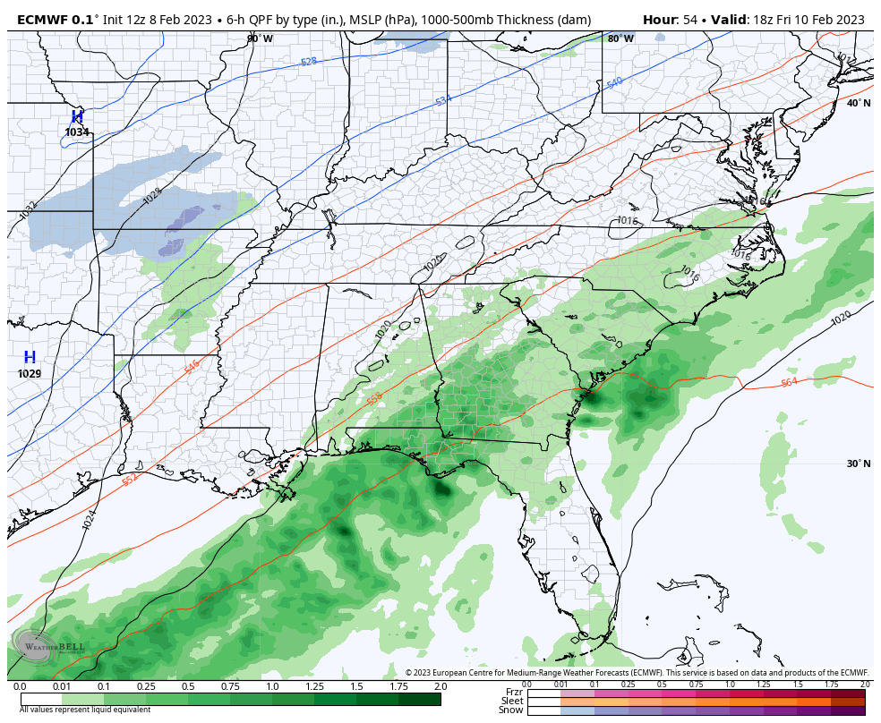
The NAM only goes out to the beginning of this, but looks to be matching up with the EURO…
That’s something to watch out for as is the famed northwest trend of such storm systems.
I have you ready to track the severe storms threat…

Current watches

Possible Watch Areas

Make it a great evening and take care.

No snow again
There are worse things in life.
Yes Jeff Hamlin I’m aware of that thank you
I notice all the storm tracks are almost the same aside from this random ULL going through the deep south. Will it ever change? Like someone said earlier…It does feel like groundhog day in terms of the weather.