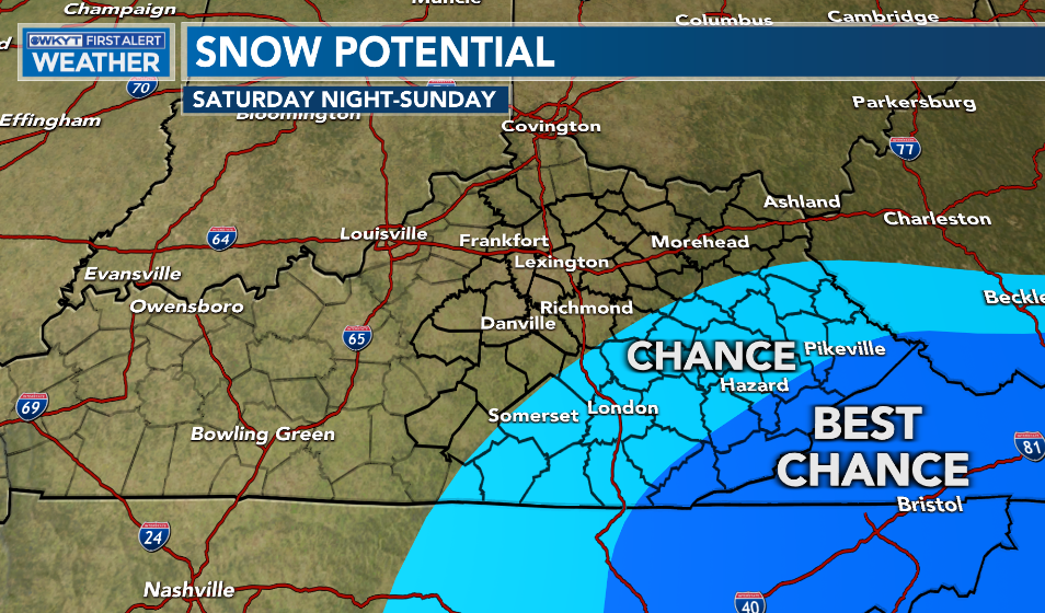
Good afternoon, everyone. It’s a seasonable day out there on this Friday as we head into a mainly nice weekend. That southern storm is likely to impact far southeastern Kentucky with some wet snow, but the extent of that is still a tricky call.
Temps today and Saturday are mainly in the 40s with a mix of sun and clouds. Overall, that’s not too shabby for the middle of February.
The big storm ready to impact much of the southeastern part of the country may deliver a glancing blow of snow across southeastern Kentucky. I’ve made no changes to the area most at risk…
The latest models aren’t as enthusiastic on the southeastern Kentucky snow potential.
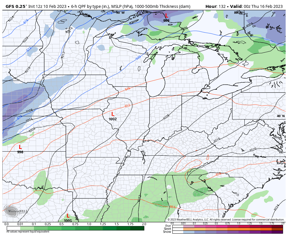
The latest GFS shifted things a bit farther east…
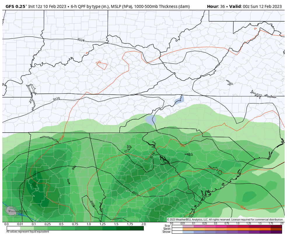
That track and overall weaker system doesn’t produce nearly as much snow as earlier runs, even in the southern Appalachians…
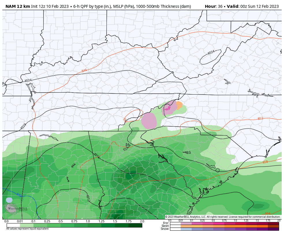
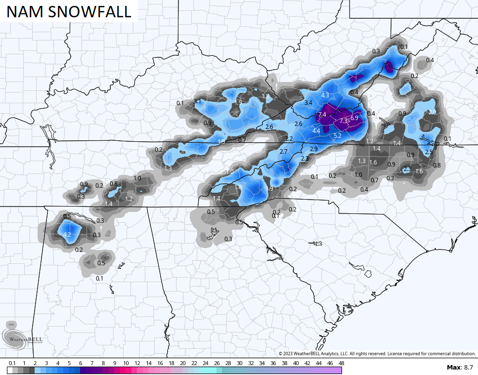
The NAM is also weaker, but is a little deeper into Kentucky with some flakes…
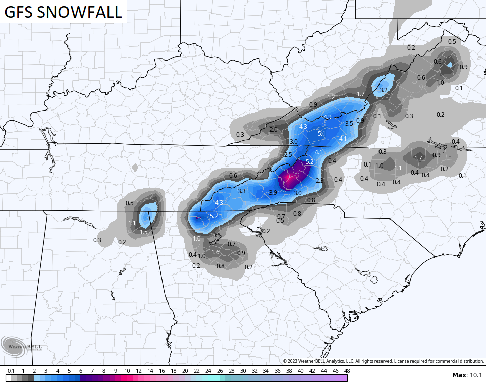
Here’s the snow map from the NAM…
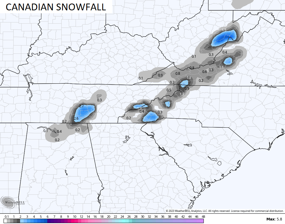
The Canadian is even weaker…
Temps rebound early next week with a few showers on Tuesday as a quick moving system zips in and out. The next one coming in late next week is much strong and has a big push of cold air behind it. This system is likely to become another big wind maker with the potential for strong thunderstorms…
I will be on the road later today, so I won’t be able to update.
Enjoy the rest of your Friday and take care.

Southeast Ky welcome to the season of “Festive Flakes.”