Good afternoon, everyone. We continue to track a southern storm system set to sideswipe southeastern Kentucky Sunday. Say that one 3 times. 😜 Looking down the road into next week, the increasing threat for severe storms continues to show up.
As far as the snow potential is concerned, the map I put out 3 days ago still stands today…
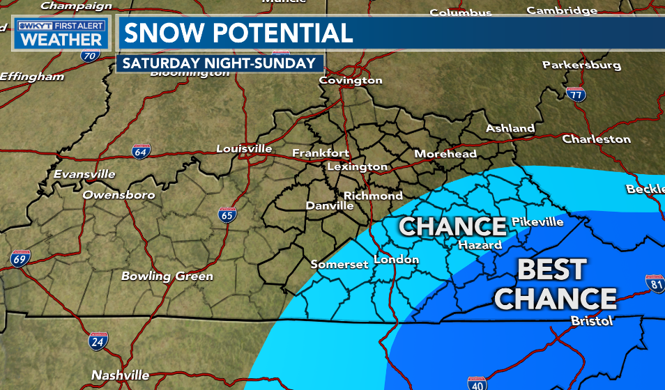
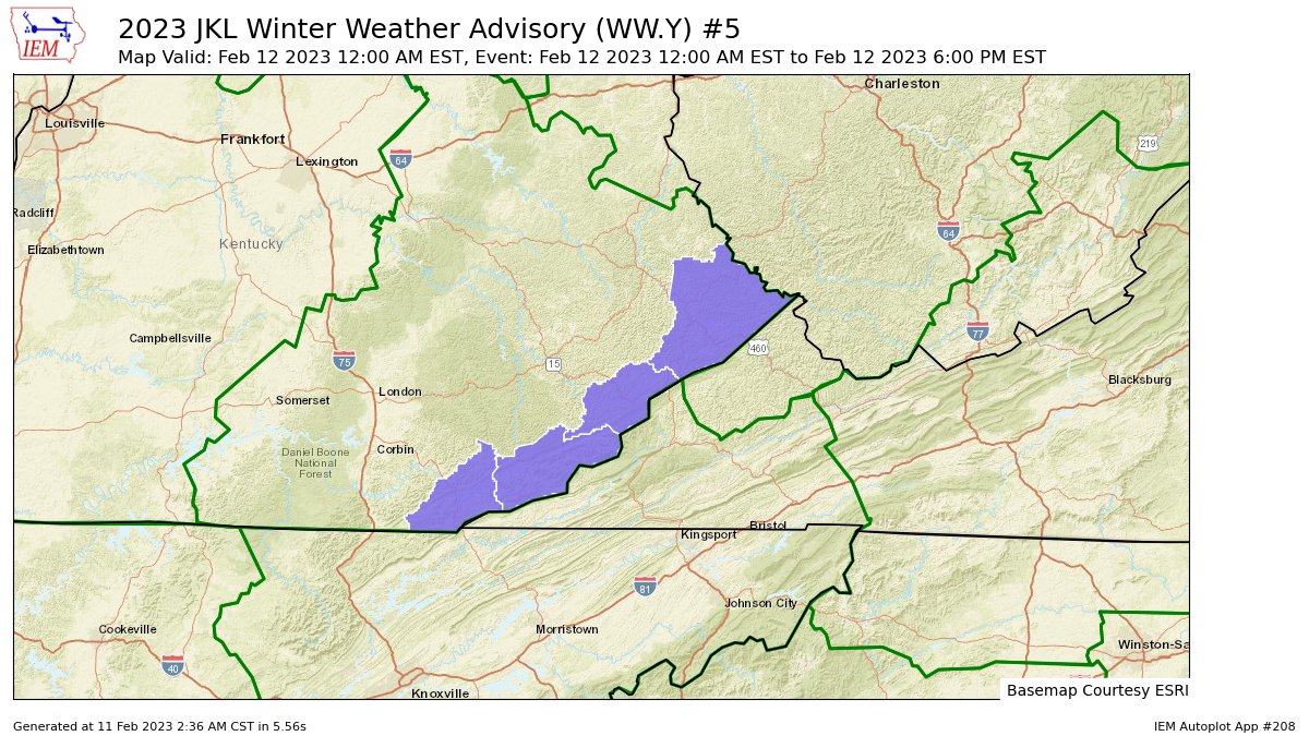
Those counties that border Virginia have the best chance at seeing some accumulating snows. That’s why the NWS now has a Winter Weather Advisory for these counties…
Some flakes may fly a few counties north and west of that, but this is where some light accumulations of 1″-3″ may show up.
The models are all showing, at least, some light accumulations in the southeast…
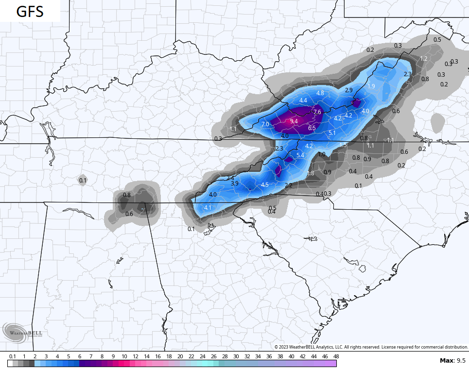
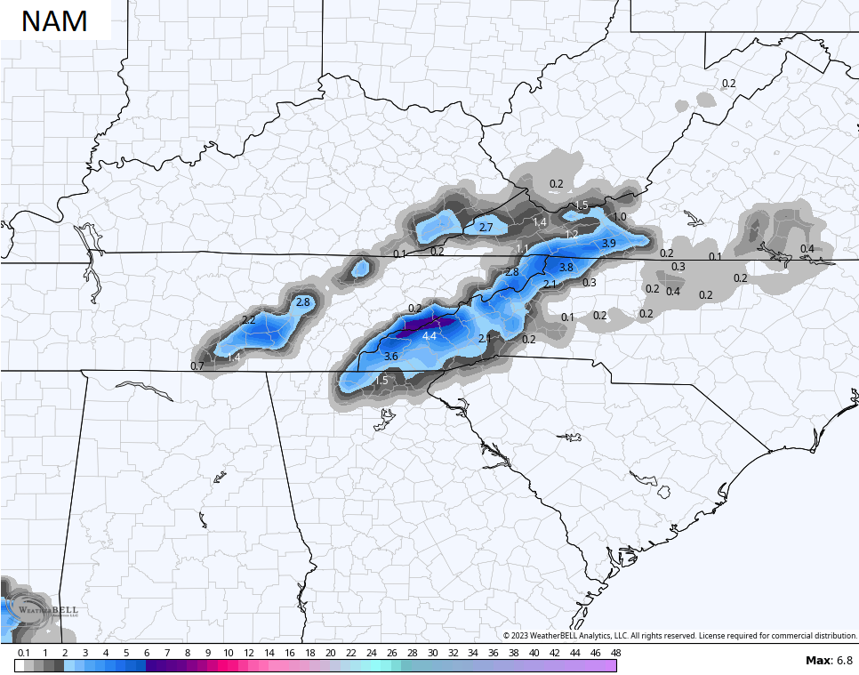
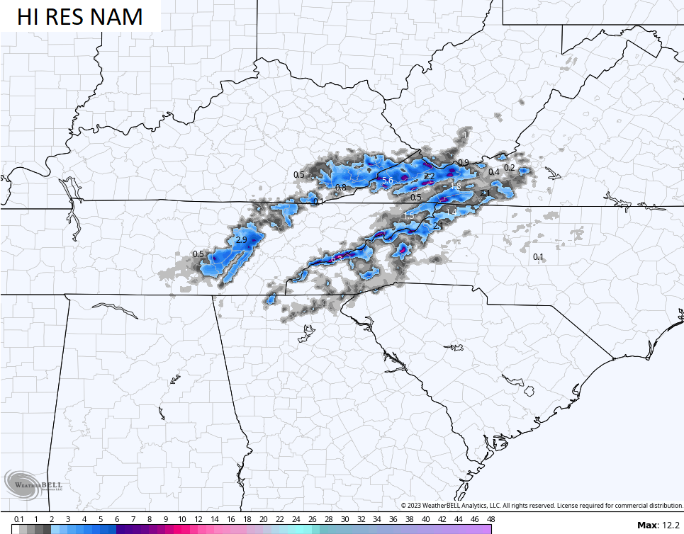
Temps are marginal for snow and the ground is warm, so the struggle is real.
I’ve been highlighting the chance for strong to severe storms for this upcoming Thursday and the Storm Prediction Center is already placing our region and points south into a severe weather risk area…

This is a potent storm taking shape…
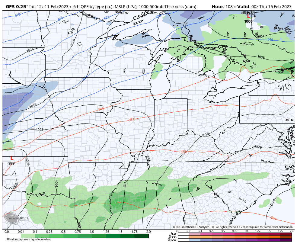
Even without the severe threat, this is likely to be another big wind maker. Temps ahead of this can spike to 70 before potentially dropping into the teens for lows behind it.
I will try to throw you another update this evening. Make it a good one and take care.

Here in South Central Kentucky severe weather is no stranger, but a nice peaceful Snowfall is. Hopefully, the severe weather and winds won’t happen next week.
I hope not either Schroeder. I guess we will be rain here in Pikeville tonight temperatures at 41 unless some cooling happens tomorrow.