Good evening, folks. A lot of wind is on the way to the region over the next several days. This will usher in a severe weather threat set to follow by late Wednesday night into Thursday across much of the area.
A Wind Advisory is already out for parts of Kentucky from late Tuesday into early Wednesday. Gusts during this time may top 50mph at times. Check out the forecast gusts from the GFS…
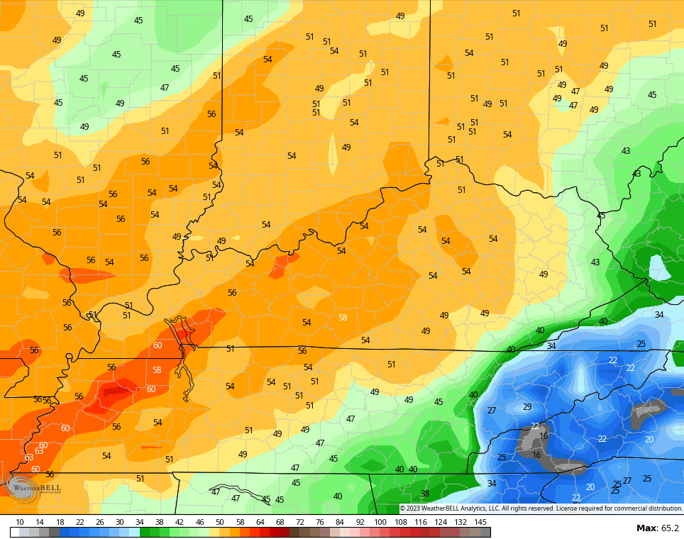
This model did very well with last week’s big winds, so we have to give it some attention.
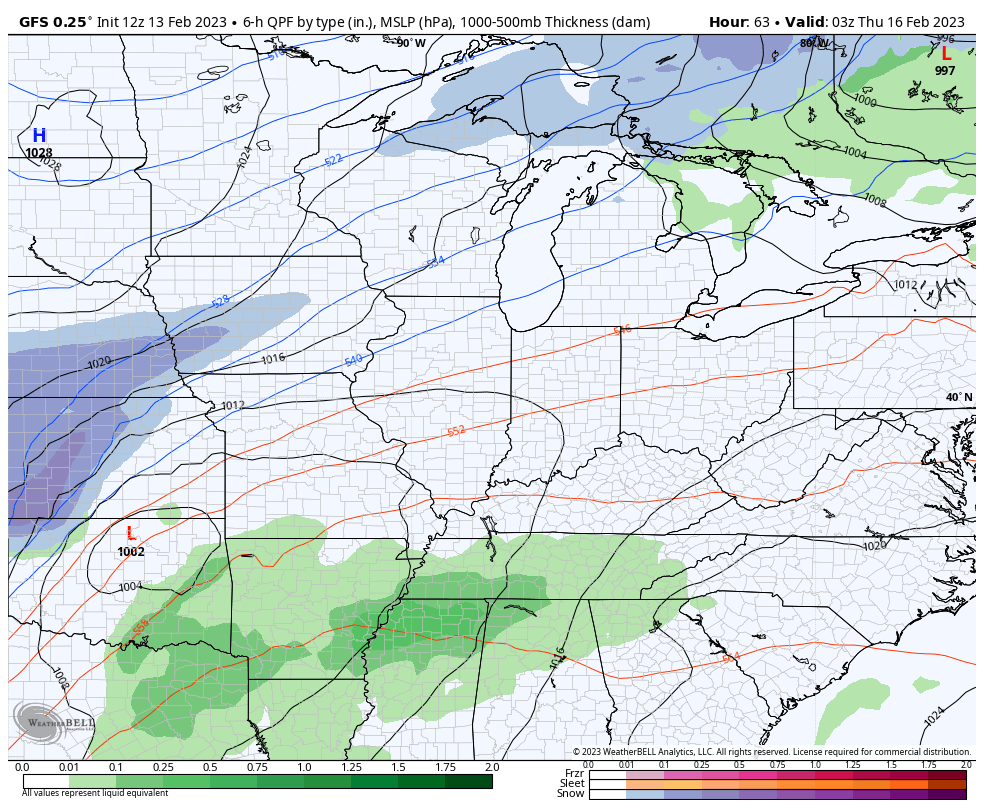
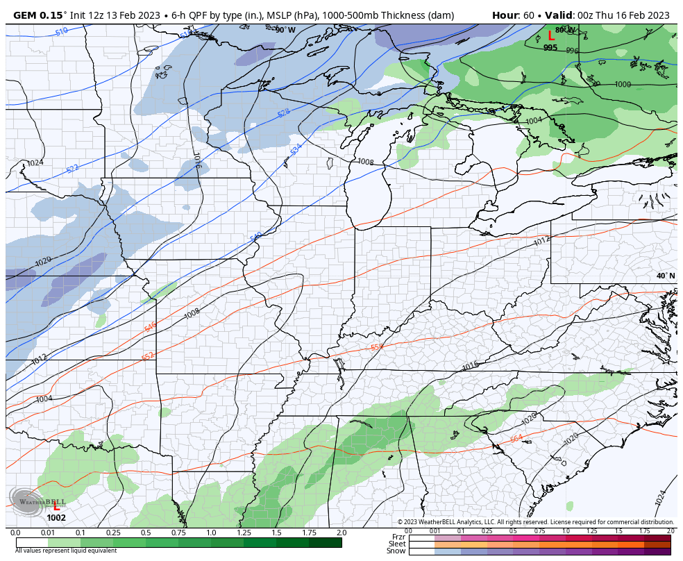
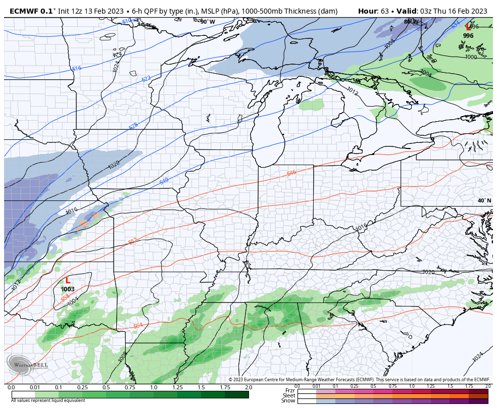
I have no changes to the forecast from Wednesday through Friday as a powerful storm system works into the Ohio Valley. Near record high temps will be noted on Wednesday ahead of more high winds Wednesday night as thunderstorms kick in. The initial severe threat from this may be across the west…

That severe threat gets pushed east into the rest of the state for Thursday…

All modes of severe weather are on the table during this time.
Much colder air will then slam in behind this Thursday night and Friday. We may go from severe storms to some flurries and snow showers during this time…
GFS
CANADIAN
EURO
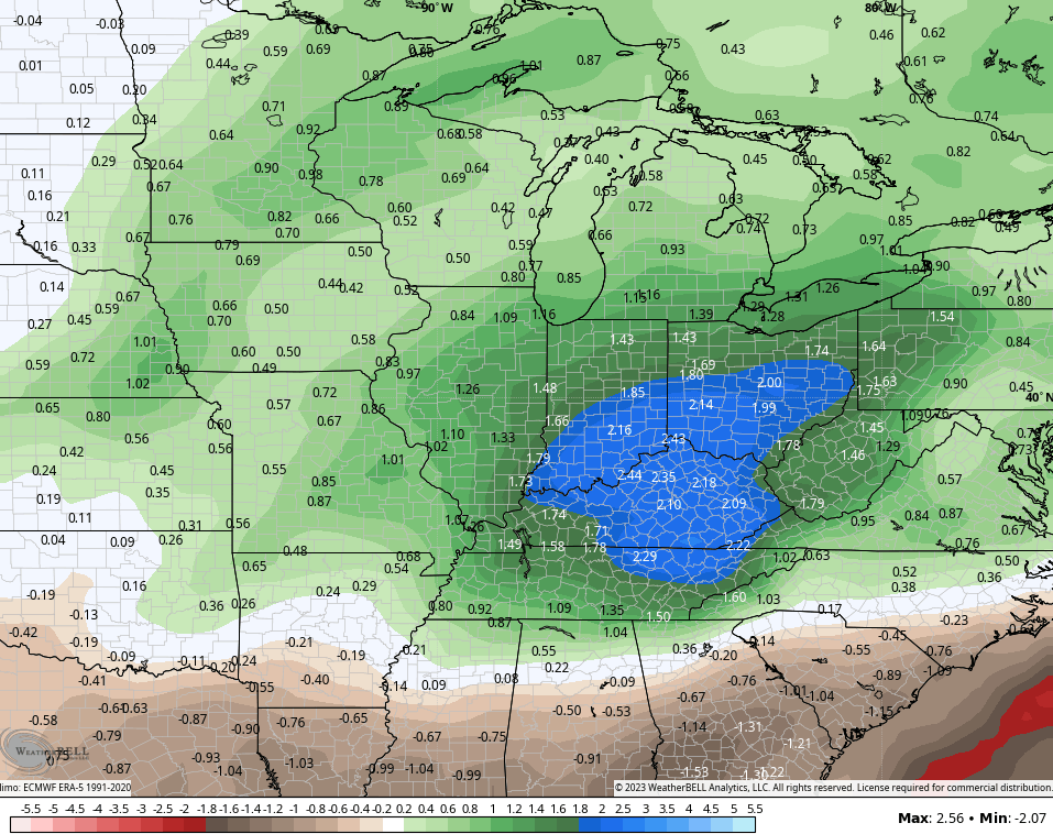
Again, this pattern needs to change or we are going to get into some trouble with too much rain and more severe threats.
The GFS Ensembles show us in the bullseye for above normal precipitation over the next 2 weeks…
Enjoy the rest of the day and take care.
