Good evening, folks. Gusty winds are beginning to crank across the region and will grow stronger overnight. This is ahead of a major surge of spring temps for Wednesday and a severe weather threat for Wednesday night and Thursday.
Winds tonight will reach 40mph-50mph at times with a few showers and thunderstorms. This action is rolling from west to east and will show up on our area radars…

Highs of 70-75 will be possible for many on Wednesday and this may set some records in a few cities.
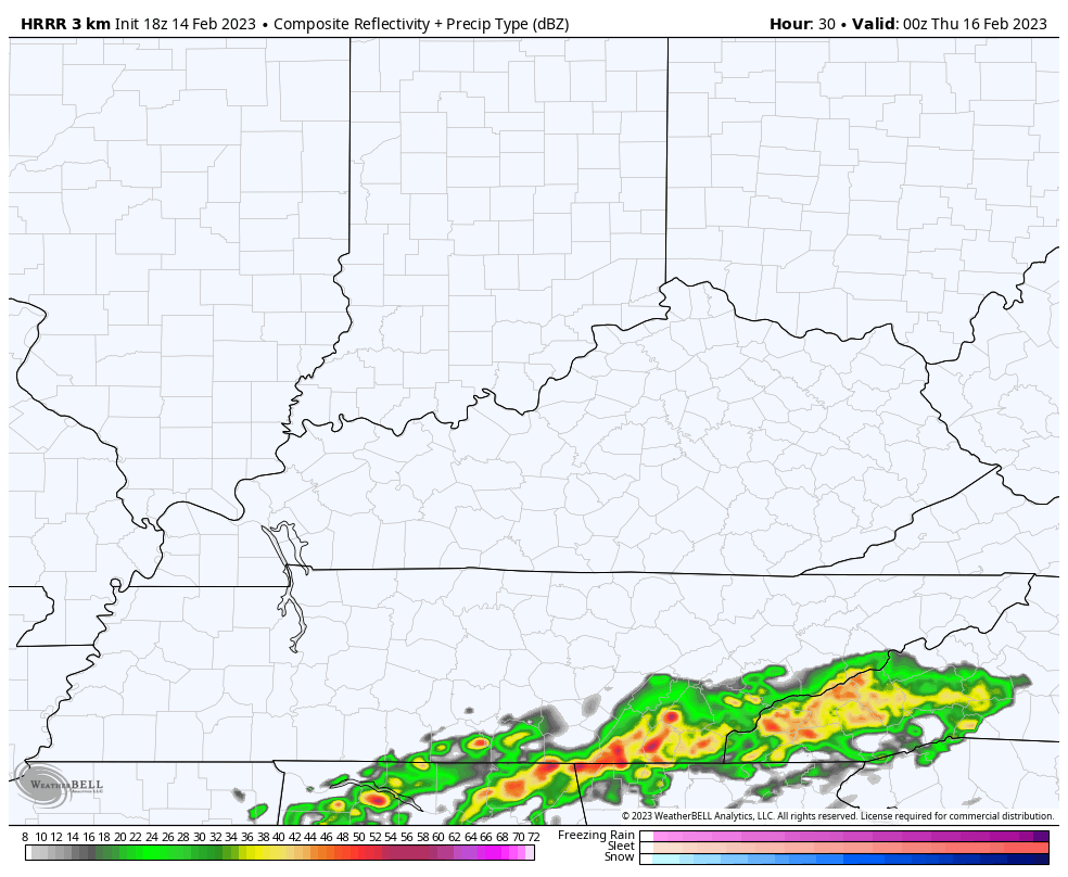
Showers and storms will rumble in here later Wednesday night and early Thursday. Some of these may be strong or severe. We will then focus on the increasing potential for a broken line of strong to severe storms to develop across central Kentucky. These storms may rotate for a while across central Kentucky before losing some steam in the east.
The Future Radar from the HRRR only goes through 1pm Thursday but you can see that Thursday line of storms firing after the early day storms…
Those Thursday afternoon storms will bring a low-end tornado threat…
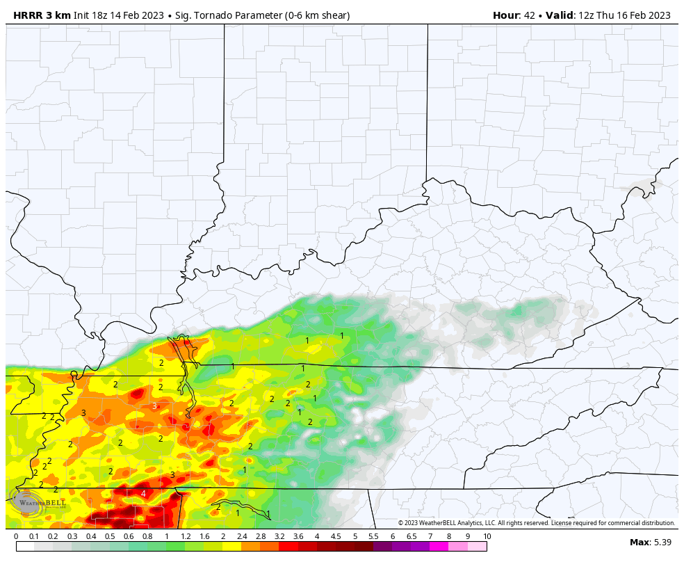
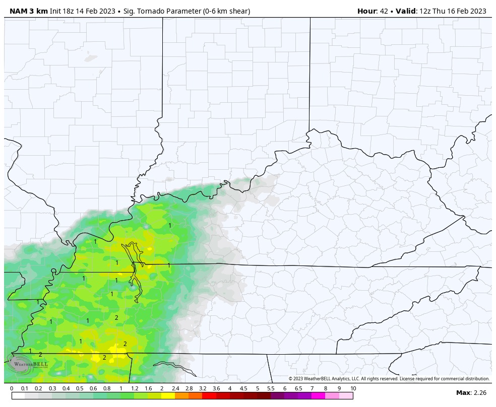
That’s something the Hi Res NAM is also showing…
The Storm Prediction Center has a low-end threat for severe storms in the west late Wednesday…

That risk focuses farther east for Thursday…

Much colder winds then blow behind this Thursday night and Friday. A few flakes will also be possible.
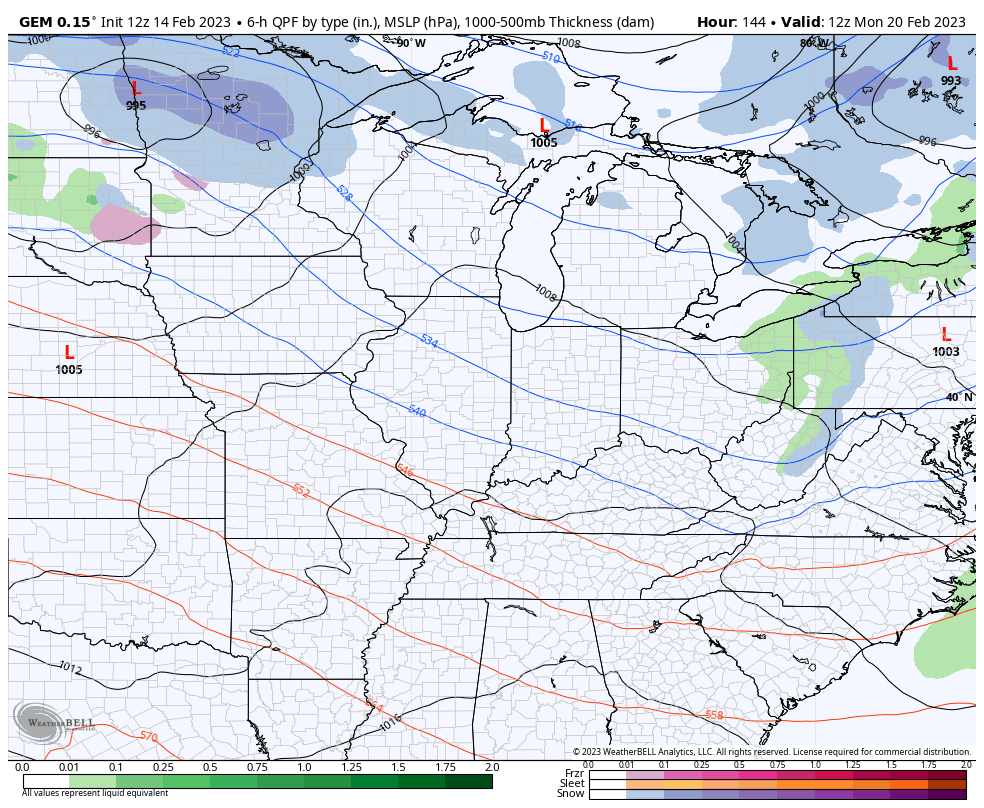
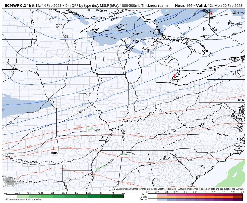
After a calm weekend, the pattern looks really active again next week as cold air tries to press farther south. I expect lots of different looks from the models on storm tracks. Here’s what they have right now…
GFS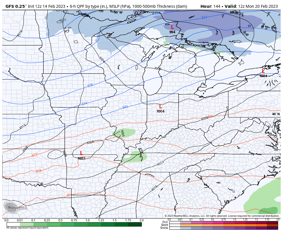
CANADIAN
EURO
Have a great rest of your Valentine’s Day and take care.

Thanks Chris, for the latest on the storms progress.