Good evening, folks. It’s been a gorgeous day across the region and your Sunday looks just as pretty, but with milder air. I wanted to drop by for a quick update on the overall pattern that continues to skew wet and stormy.
Kentucky is likely to be the bullseye of this wet and stormy pattern. The GFS Ensembles continue to show much above normal precipitation for the next 2 weeks…

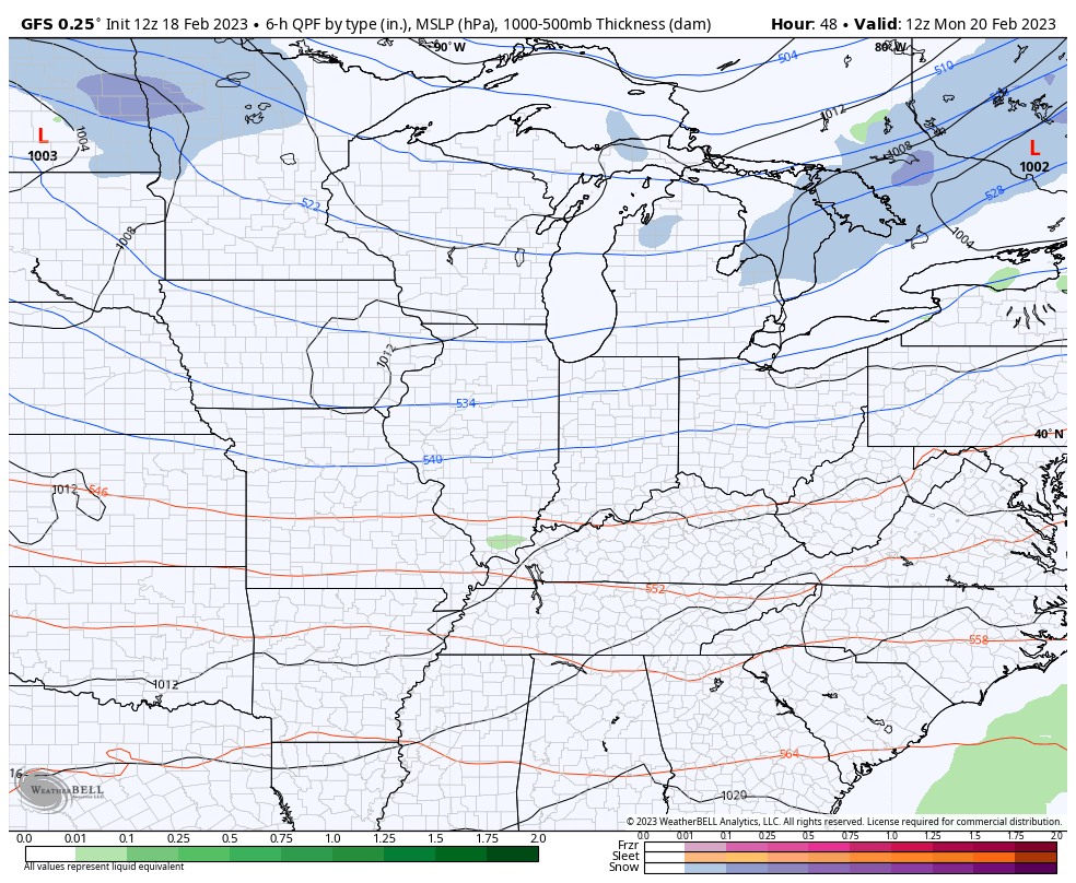
We can use the GFS to show the rapid fire systems coming at us just in the week ahead…
This is a setup that can lead to more flooding concerns in the week ahead and likely into March. Ugh.
Have a great rest of your Saturday and take care.

Ugh….Have a concert Saturday night to go to, traveling from Flatwoods to Louisville, approx 3-hour trip if lucky, and will have to stop a million times for my broken-down body to stretch out. Looks to be a little rainy, but at least It’s not snow… 🙂