Good evening, folks. Our week started with a quick-hitting band of showers and now we focus on springtime temps and several more systems. This continues to look like a super-duper active setup in the world of weather.
Tuesday will feature a small shower chance as temps reach the 50s and 60s across the state. Those numbers should reach 70 or better Wednesday and Thursday before coming down some on Friday.
Near record highs will once again be possible on Wednesday and Thursday.
That’s as the first of three systems looks to impact our region. Another system follows that up for the weekend with yet another by early next week.
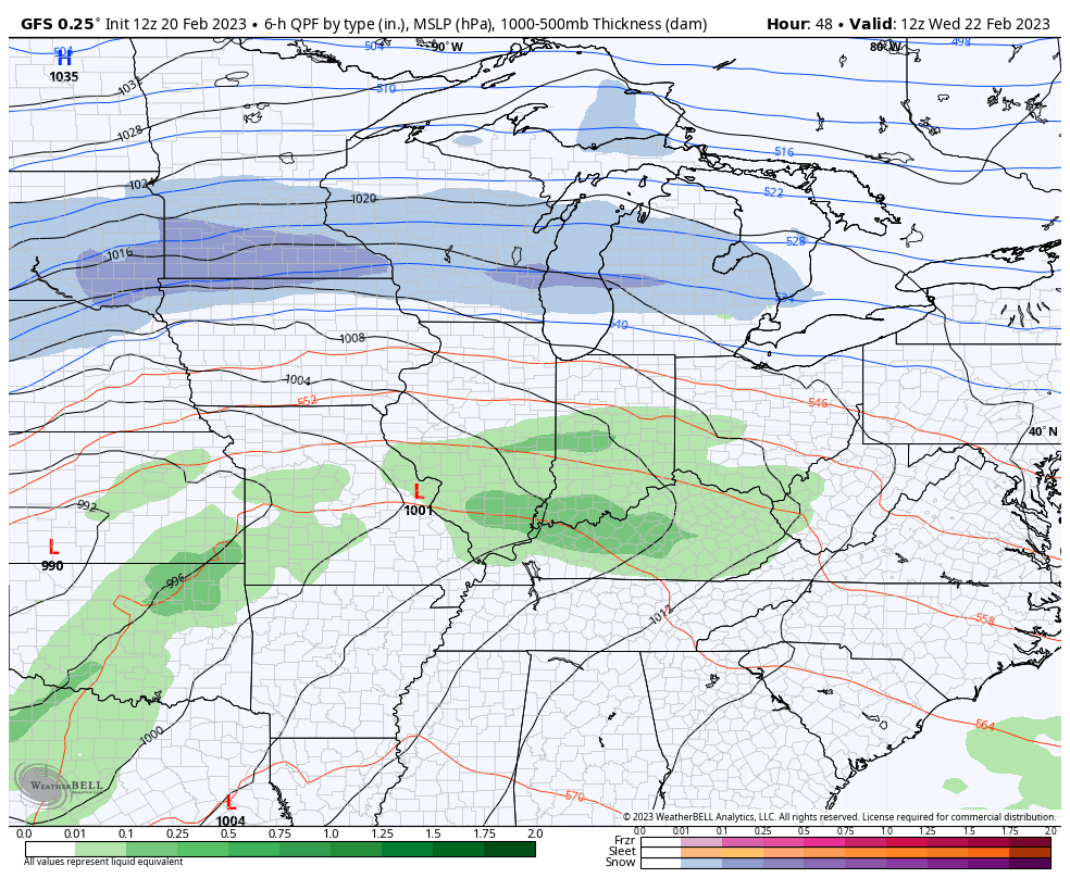
Here’s how the GFS is playing it…
The Canadian is similar…
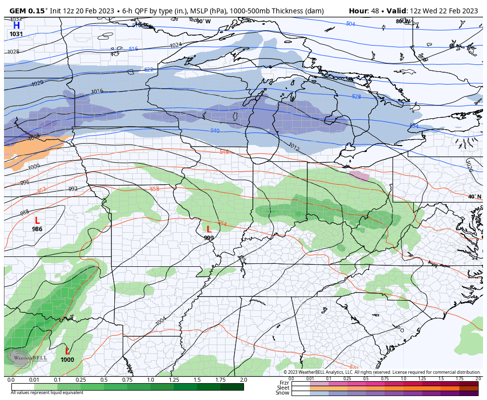
That’s a lot of winter weather rolling from west to east across the northern part of the country! Winter weather lovers may want to schedule a road trip.
Let’s put the wraps on this Monday with a classic song for the day…
Enjoy the rest of the day and take care.

No snow but that’s ok enjoying the warmer days.