Good Sunday, folks. We are rounding out a pretty nice weekend across the Commonwealth. The week ahead looks VERY active as we close out February and begin March, and it all gets started with high winds and strong storms for Monday.
Let’s start with what’s going on out there today. Temps are in the 55-60 degree range for many with a mix of sun and clouds.
A few evening showers develop in the west as a warm front lifts northward across the region tonight. A narrow band of showers and storms may accompany this push of milder air.
This takes us to our active Monday. Here’s a breakdown of how things may play out:
- High winds are likely. Gusts of 50mph-60mph will be possible.
- Those are non-thunderstorm winds and could cause damage
- A line of strong to severe storms may roll from west to east across the state
- The best threat for severe weather will be in central and eastern Kentucky.
- All modes of severe weather will be possible, but the primary player will be damaging wind.
The Storm Prediction Center continues to show the risk for our region…

Very mild weather will be with us Tuesday and Wednesday. Temps by Wednesday may surge to 70.
This is ahead of what is likely to become a major storm set to impact our region by Friday. The track and intensity of this system remain a mystery from this far out, but the signal is there for a significant event.
It will be preceded by a rain and storm maker on Thursday. Once that moves out, a much stronger storm comes at us from the southwest. This may bring flooding rains, strong storms, high winds and some snow to the state.
The models are still a few days away from settling on a preferred scenario, but they are all locking in on a potent storm.
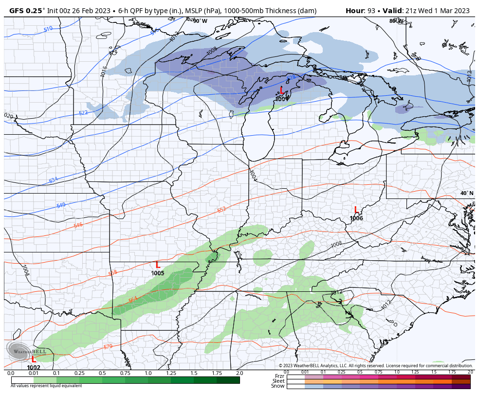
The GFS is the strongest of the bunch with surface low pressure in the 970s as it crosses Kentucky…
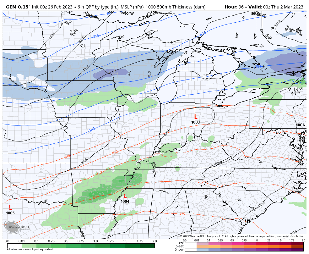
The Canadian isn’t quite as strong, but it’s still a formidable low…
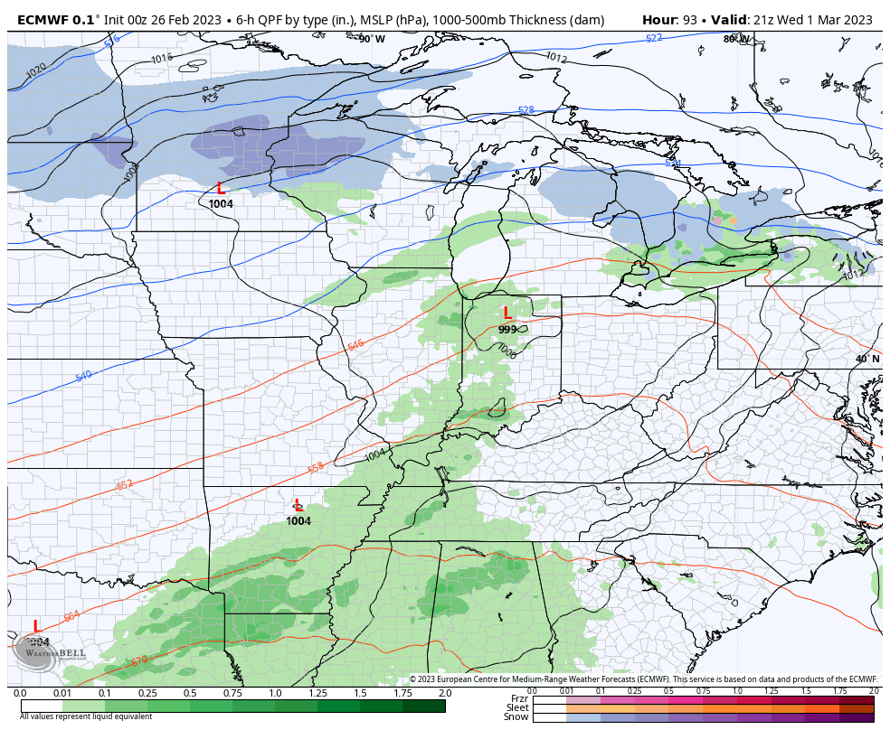
The EURO is more in line with the Canadian and has more of a winter look…
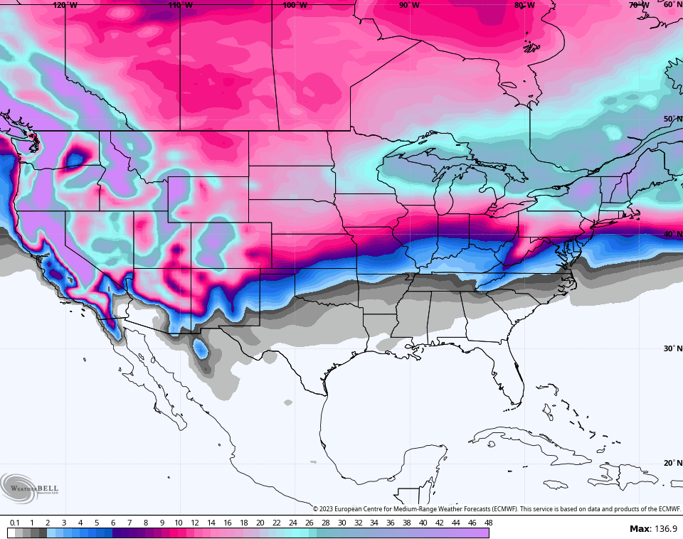
If we look deeper into March and into early April, the EURO Ensembles continue to paint a much colder than normal period for the entire country…
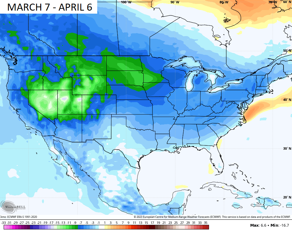
The model is also showing snow threats during this time…

I will have updates later today. Until then, make it a great Sunday and take care.

We will be sitting on the fence again next weekend.
History tells me backside snow flurries.
The ” fence ” edge of the Bermuda high will most likely be taken down when there is a positive Pacific and a negative Atlantic. When that weather scenario comes into play is still unknown, but we should be informed on such by the end of this coming Summer.
You can actually see the storm’s comma shape on the Storm Prediction Center’s map. No wonder it’s forecasted to be a major wind maker! These storms continue to wrap tighter than a drum, from coast to coast. Looking at a large outbreak of severe weather on Thursday from Tennessee down to the Gulf.