Good evening, folks. We have another high wind event that’s wrapping up across the region. While some better weather follows for a few days, a bigger storm system is likely to hit the region with some nasty stuff later this week.
Wind gusts today topped 60mph in some spots with many areas seeing gusts in excess of 50mph. Those winds are coming down this evening with calmer weather coming in for Tuesday.
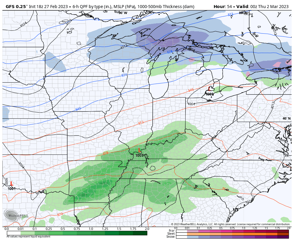
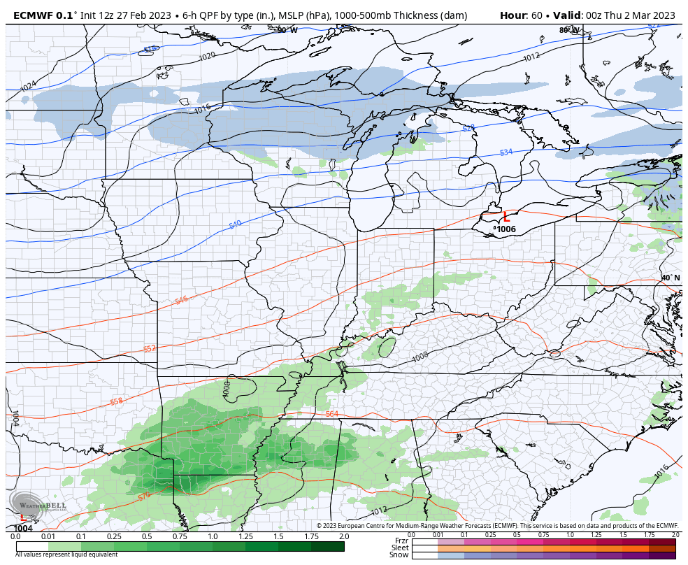
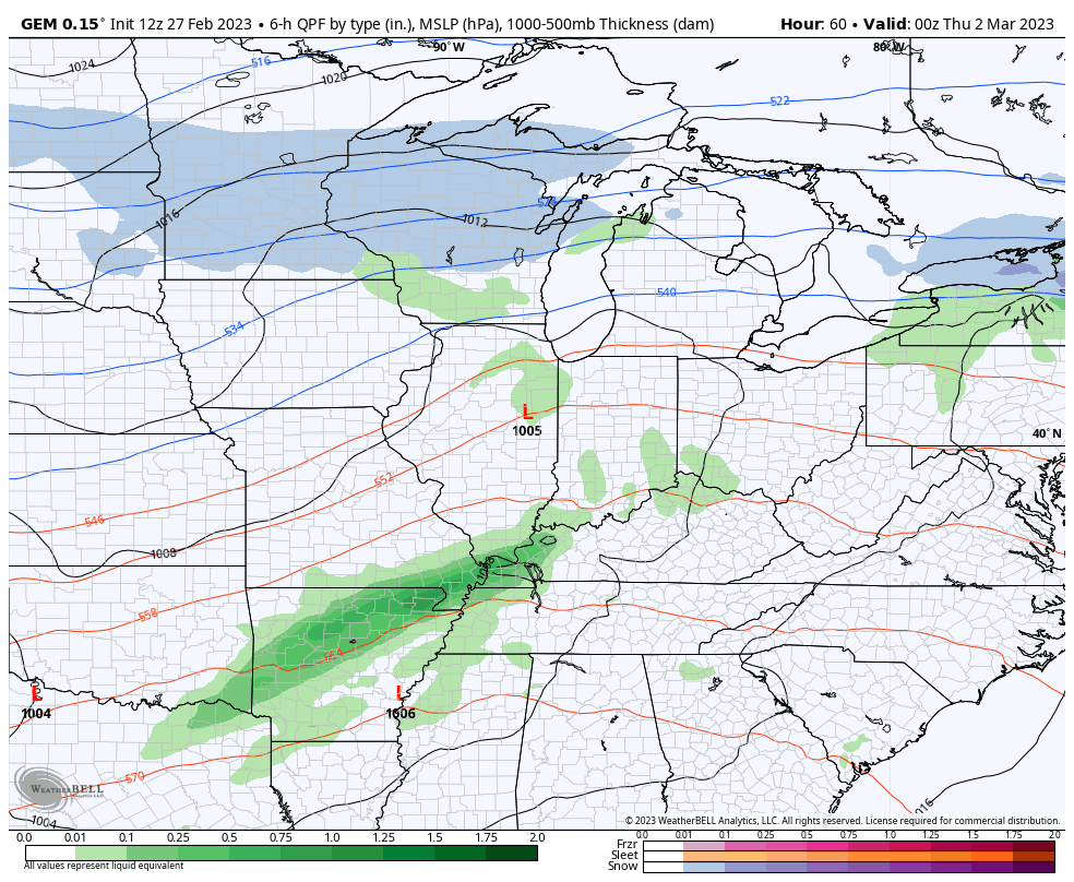
The pattern revs right back up late Wednesday with the threat for strong storms developing from the southwest. This is the first in a series of showers and storms likely to impact the state through Friday. The setup continues to look like one that will produce high winds, strong to severe storms and high non-thunderstorm wind gusts.
The models are slowly coming into agreement on this look…
GFS
EURO
CANADIAN
This is a worrisome setup, so please stay aware of the forecast going forward.
Enjoy the rest of the day and take care.
