Good evening, folks. We continue to focus on a late week setup that includes the increasing potential for severe storms and high winds. This comes from yet another big low pressure system rolling into the region.
Let’s start with the record warmth potential for Wednesday. Temps will make a run into the 75-80 degree range for many as our flow comes from the southwest. This is ahead of the first system set to bring some showers and storms in here Wednesday evening into early Thursday.
The Future Radar from the Hi Res NAM shows this well…
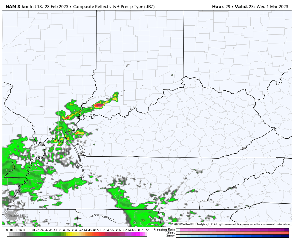
I can’t rule out some strong storms with that.
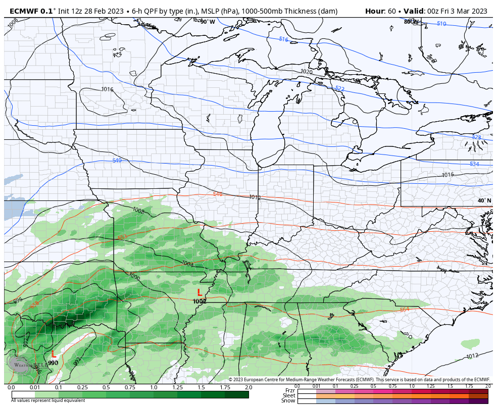
The main surface low then works into the region Thursday night into Friday. The track and speed of this low is important to how much of a severe weather threat we see across Kentucky. Here’s a general idea of the threat that works from west to east Friday…
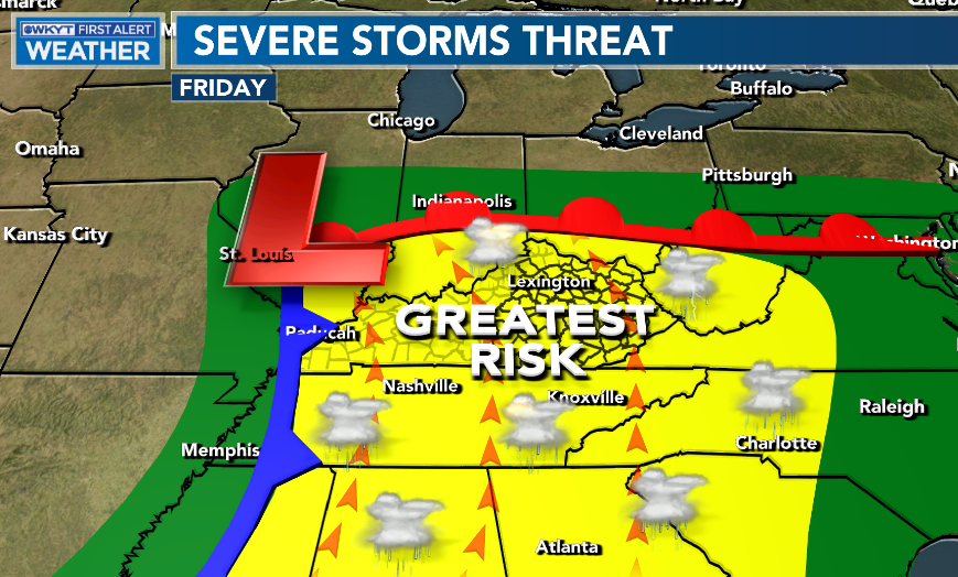
The slower that low moves, the greater the severe threat is across Kentucky as it would put the front working in during the heating of the afternoon.
That’s something the EURO is showing as it boosts temps into the 70s across central and eastern Kentucky…
Make it a great evening and take care.

Kite season is upon us. That is a guarantee.