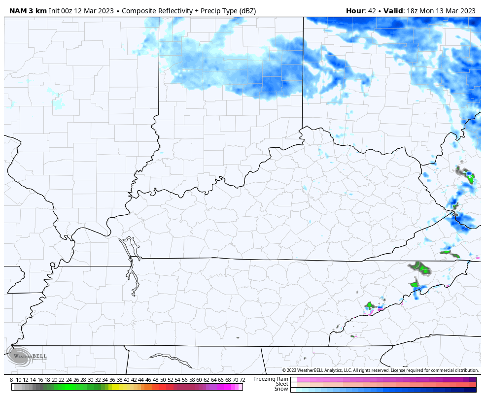
Good Sunday, everyone. We have rain and a bit of snow working across the state today as our colder than normal pattern continues. This is a setup that won’t be going away anytime soon as true spring is still a long way off.
Most of the region will have rain today with the heaviest early on. Areas in the north and northeast will have a period of light snow that can put down a slushy accumulation.
Here are your tracking tools to start the day…

Go to our weathercams page to check out the views from across the state…
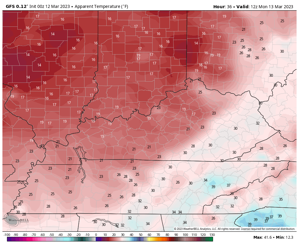
The action becomes lighter later in the day as we get set for even colder air to come in here tonight through Tuesday. This blast of cold comes on a strong northwest wind flow that will also produce some snow showers and flurries from time to time.
The Future Radar from the Hi Res NAM shows what I’m talking about. This animation goes from 1pm Monday through 7am Tuesday…
Highs Monday and Tuesday may not get to the 40 degree mark in parts of central and eastern Kentucky. Wind chills may reach the teens for Monday and Tuesday mornings…
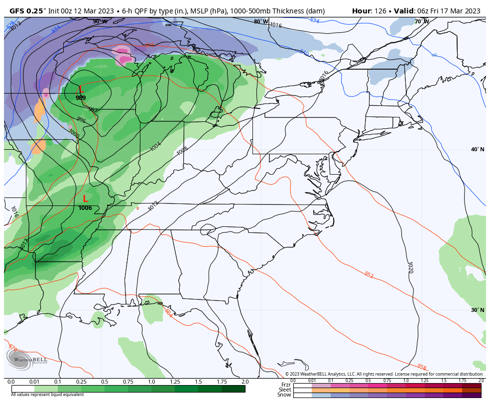
Temps turn milder for Wednesday and Thursday and should feel pretty nice. Enjoy it because another big blast of cold arrives on Friday and into the weekend. That will be introduced by a strong cold front that may have a wave of low pressure developing along it. The end result would be for rain that could end as some snow with the potential for some flurries and snow showers to follow…
I will have another update later today. Until then, have a good one and take care.

Thanks Chris. We had about .14 inches of cold rain overnight. Backside Snow flurries will not make it to my county. Watch this Springs weather will likely go straight into Summer after Easter. Haven’t read anything on the Nor’ Easter, which was to form tonight or tomorrow ?
We had a slushy accumulation of around an inch of snow in the SW Suburbs of Chicago from late Saturday night through Sunday morning, but most of it has already melted with temps in the mid 30s.
That’s very disappointing Mike, but that area still could have a significant Snow sometime this month. I just got done reading about the Nor’ easter. The low that brought us cold rain last evening is expected to combine with a disturbance off the Eastern Seaboard and strengthen into a major Snowstorm mostly for the interior Northeast. We will be cold and dry here.