Good evening, folks. Winter weather hit the region overnight and early this morning with a slushy accumulation of snow across the northern half of the state. This wintertime look and feel continues as even colder air pours in to start the new week.
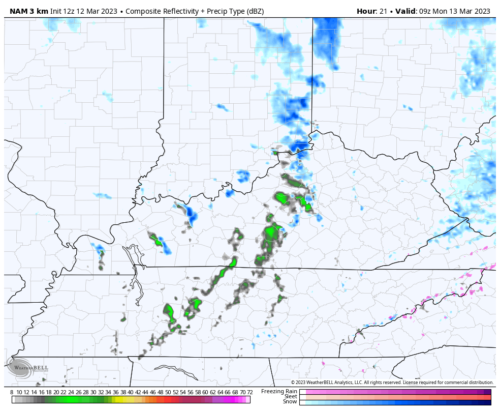
A few showers and areas of drizzle continue out there this evening, but this stuff is few and far between. Whatever is out there will show up on your radars…

As that next push of cold air kicks in tonight and takes us through Monday and Tuesday, a few snow showers and flurries will also show up. Watch the increase on the Future Radar of the HI RES NAM…
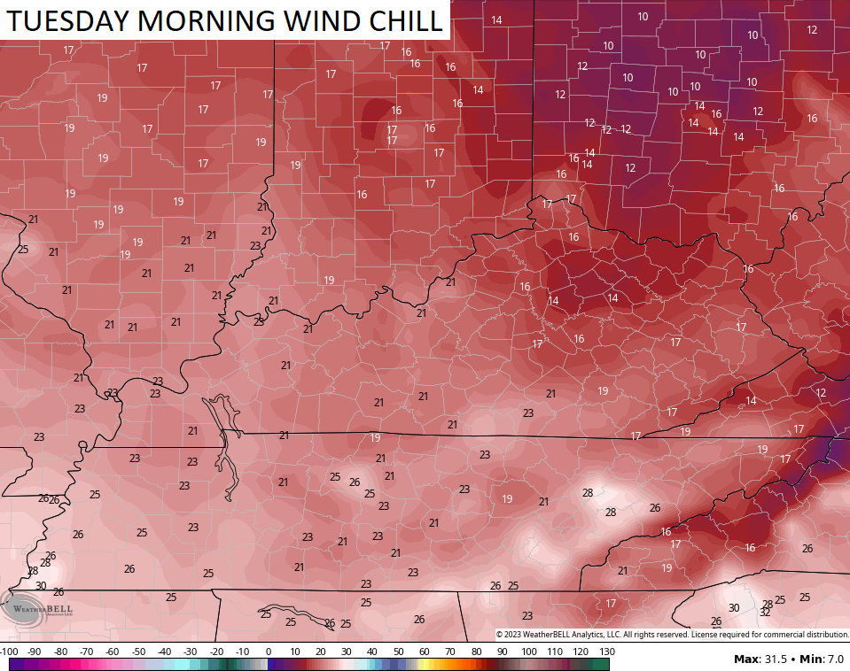
Highs are mainly in the 30s for Monday and Tuesday as winds make it feel even colder. As a matter of fact, wind chills may reach the low teens by Tuesday morning…
Wednesday and Thursday will be much better days for us to get out and enjoy.
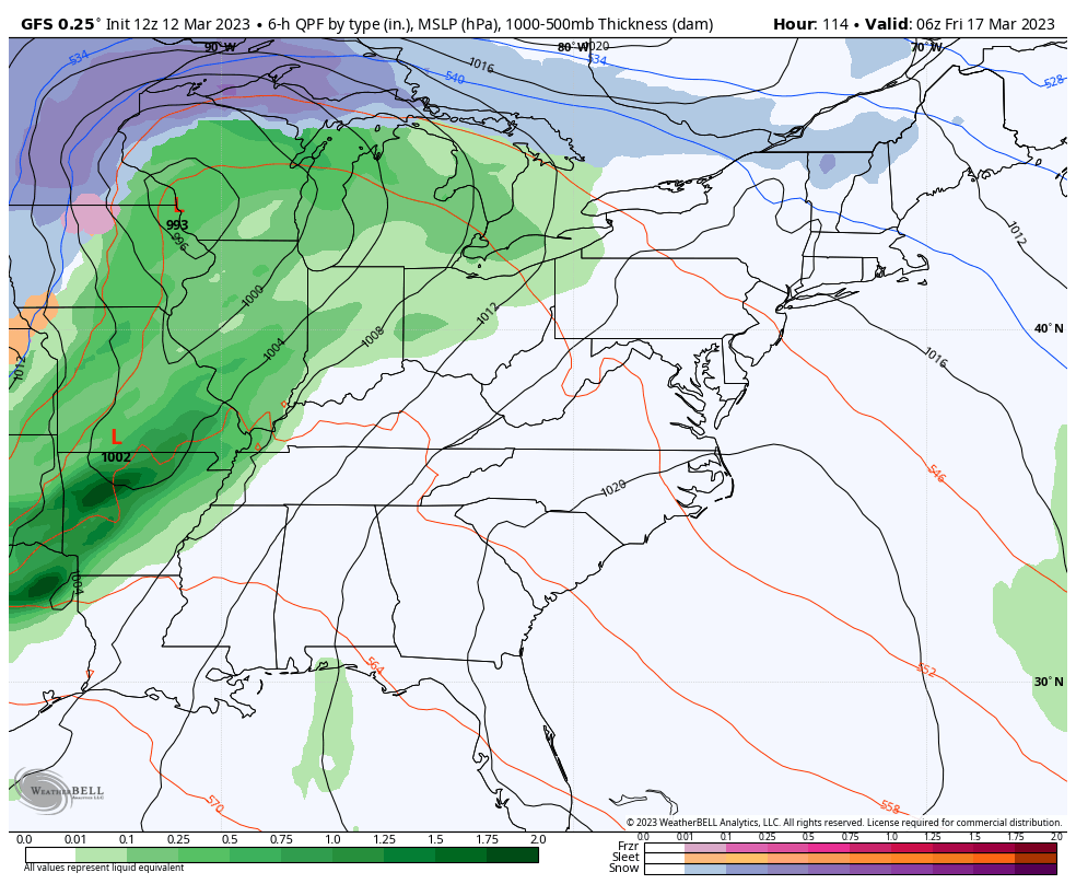
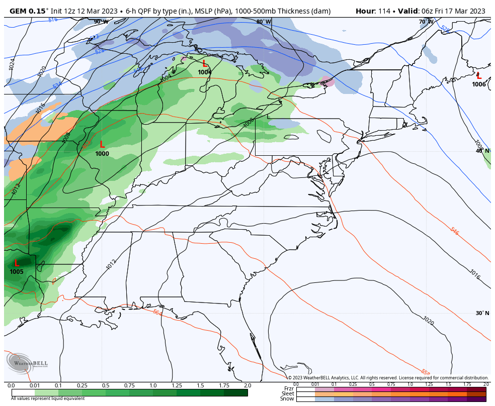
Another strong cold front arrives Friday with showers, gusty winds and another blast of cold air. We will have to watch for a wave of low pressure to develop along front that can bring some winter weather in here. A few flurries and snow showers will likely follow the front next weekend…
GFS
CANADIAN
Temps will likely be even colder than what we have out there over the next few days. Some high single digit wind chills can’t be ruled out.
What the what?!
Enjoy the rest of the day and take care.
