Good evening, folks. It’s a windy and cold period as snow showers and flurries fly throughout the region. This is the cold pattern we’ve been pointing to for weeks now and this pattern looks like it will continue for much of the rest of the month.
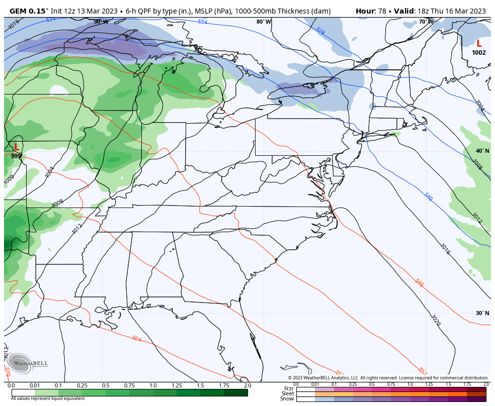
With flurries and snow showers this evening and overnight, some light accumulations may show up. Here are your radars to follow along…

Wind chills Tuesday morning will be in the teens for many.
As snow flurries wind down on Tuesday, temps rebound into the upper 30s to low 40s for many.
Highs by Wednesday recover toward 50 and then deep into the 50s for Thursday. That’s ahead of another big blast of cold coming for the weekend as a cold front moves in Friday with gusty winds and rain. Cold air and some snow showers follow that up…
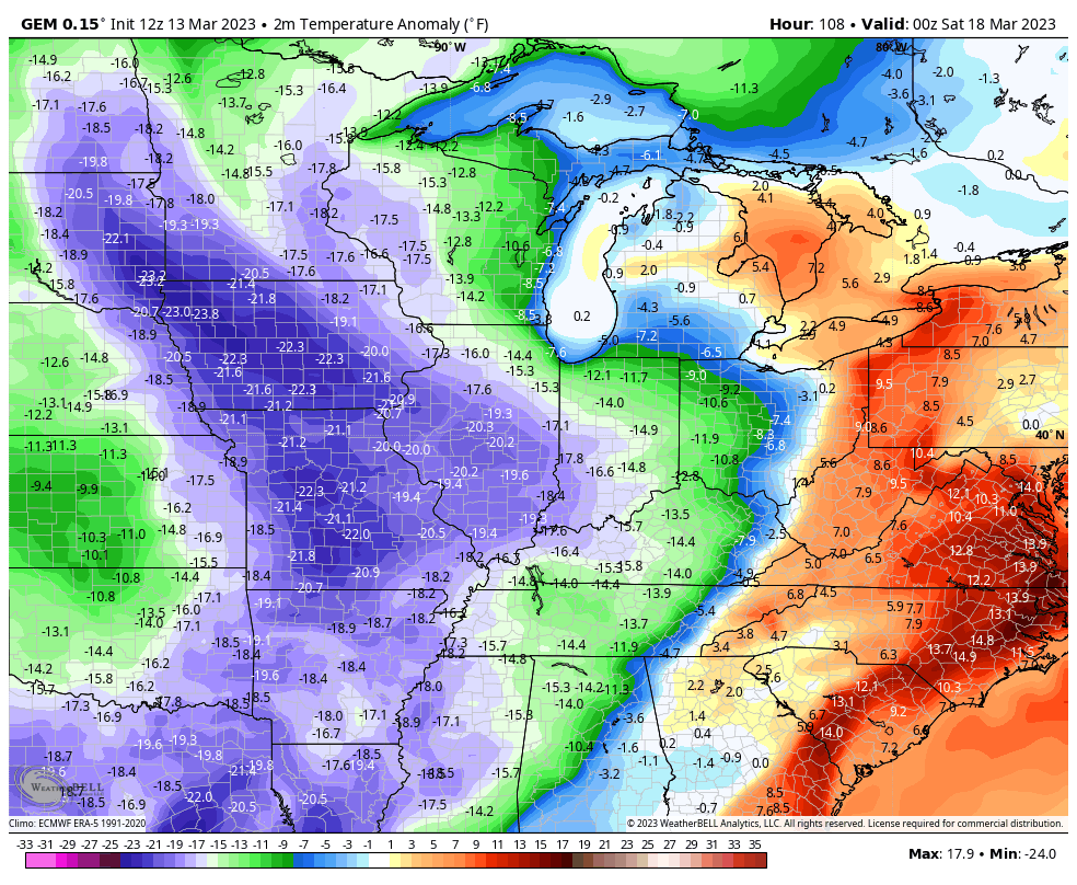
Temps go back into the tank with the numbers even deeper below normal than what we are seeing now…
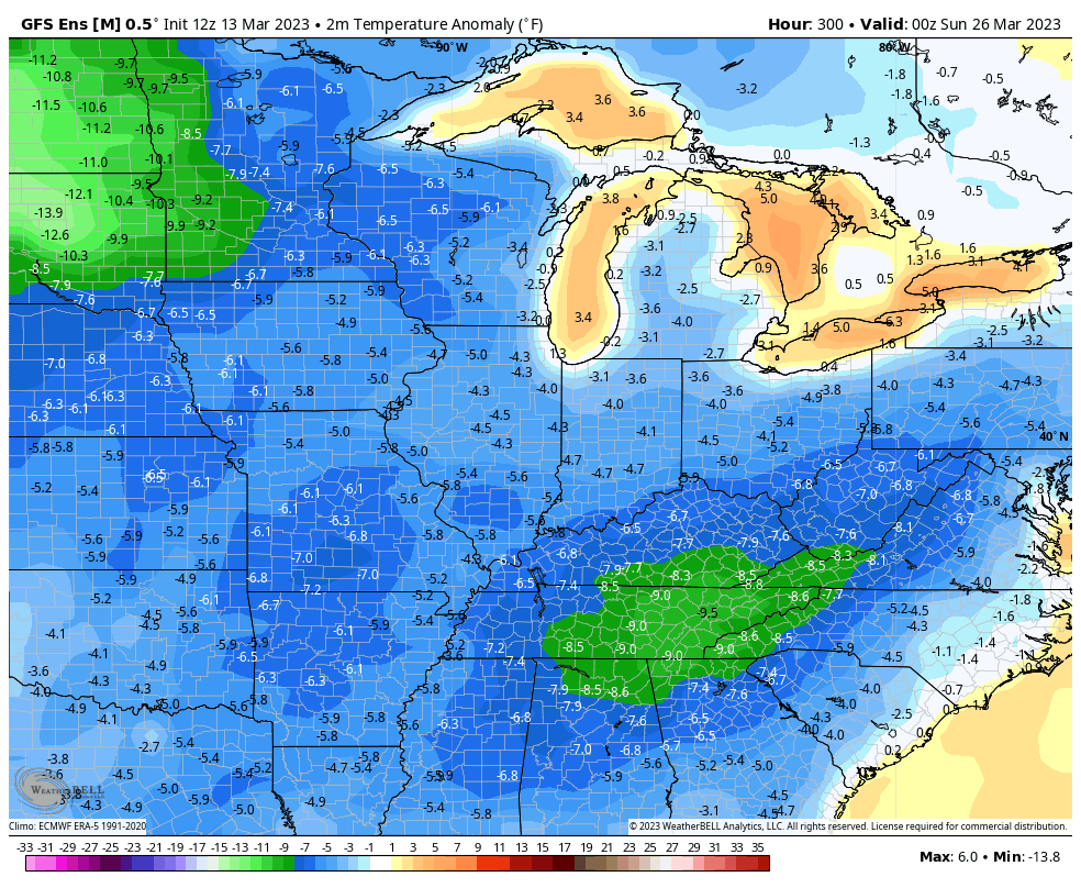
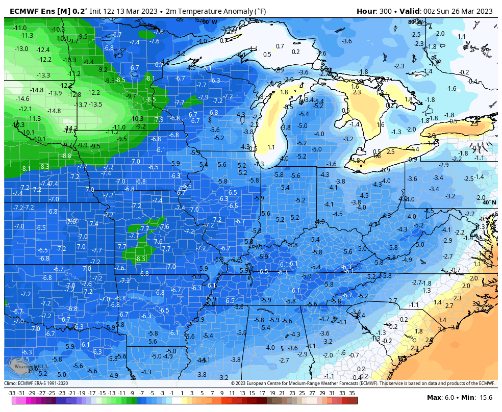
Looking farther down the road toward the end of the month, colder than normal temps continue to show up…
GFS ENSEMBLES
EURO ENSEMBLES
It’s not like you weren’t warned!😜
Enjoy the evening and take care.

It’s not going to last too much longer.
It seems like festive flake season never dies.