Good evening, folks. We continue with much colder, but a small break is on the way for the next few days. Don’t worry… It’s not staying away for long as another strong cold front works in for Friday. This ushers in much colder air for the weekend.
Snow showers and flurries are winding down this evening and could put down some light accumulations for some in the east. Here are your radars…

Lows tonight flirt with 20 in most areas with a wind chill in the teens. Afternoon temps rebound into the 45-50 degree range with some sunshine.
Thursday is a windy and milder day with 55-60 for many and a low 60 in the west. Clouds thicken during the afternoon as we track a strong cold front surging through here on Friday. This blasts through with wind and rain, with crashing temps behind it. As frigid air pours in for the weekend, a few snow showers and flurries will be possible…
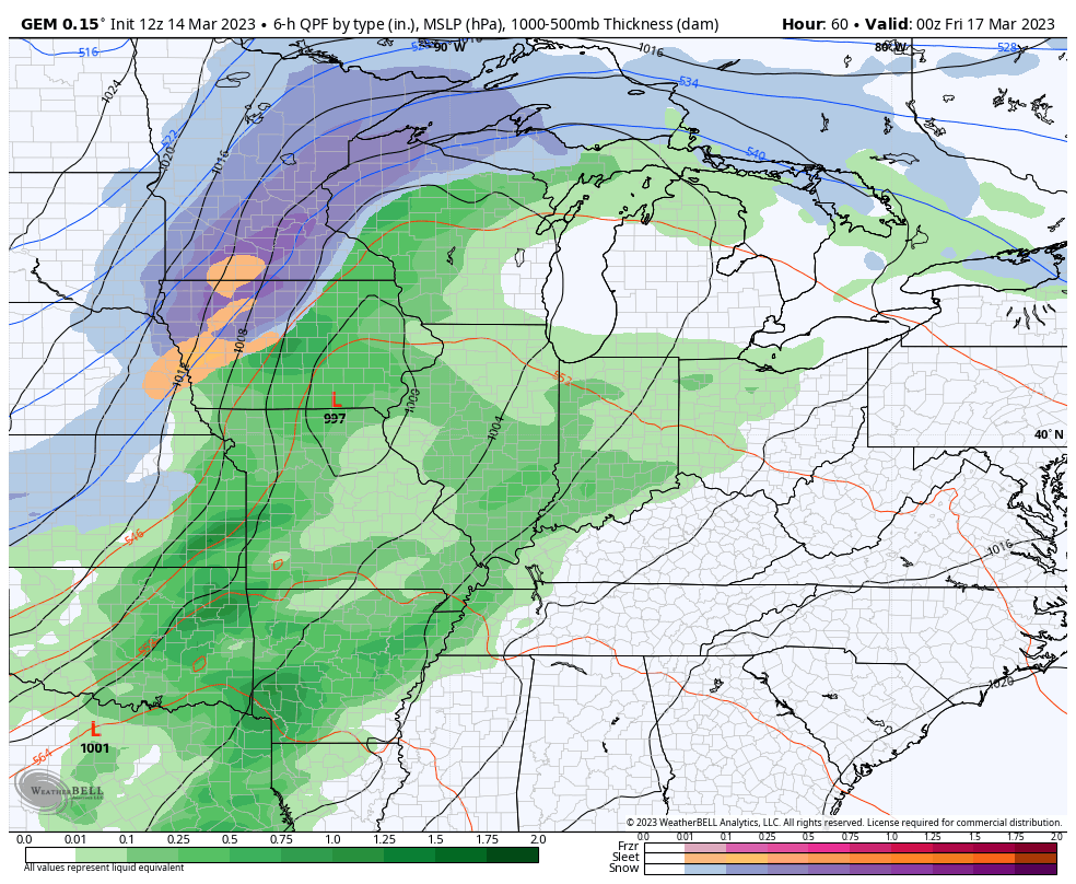
Winds are a big player with this. Gusts of 40mph to 50mph will be possible…
The cold behind this is ugly. Wind chills are brutal for this time of year and may hit as low as 10 by Sunday morning…

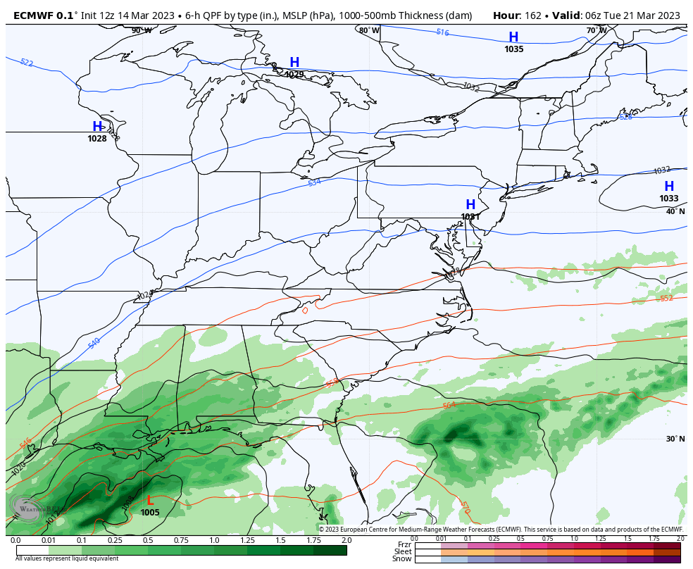
We will need to watch for a system coming in behind this early next week. The signal for a big storm somewhere in the eastern half of the country is still there and is strongest on the EURO…
Hmmmm.
Enjoy the evening and take care.

Thanks Chris, for the update, but no thanks on the fridge weather with not a flake of Snow in my area again. Maybe one of these years we’ll receive a major Snowfall. My idea of a major Snow accumulation is 15 to 18 inches. This year I’ve given up on Snow for my area and ready for a Spring with frozen flowers. This is what we receive when there isn’t any Winter weather except the plant damaging, dry Arctic freeze at Christmas with very little Snow. UGH !!!
The Nor’ Easter currently is underway in the interior Northeast and is causing heavy accumulations of Snow, high winds and all the usual power outages. NO THANKS !!!
It won’t be cold much longer. 😉