Good evening, folks. We are putting the wraps on a much better afternoon across Kentucky and it gets even beter for Thursday. That mild surge won’t last as another big blast of cold air surges in from the west on Friday.
Before we look ahead, let’s look back at an incredibly cold morning…
Talk about a frigid start to the day here in the Bluegrass state. Morning lows were deep into the teens in most of the state. Check out the top 10 coldest from the Kentucky Mesonet. #kywx pic.twitter.com/yyMFU4Mi26
— Chris Bailey (@Kentuckyweather) March 15, 2023
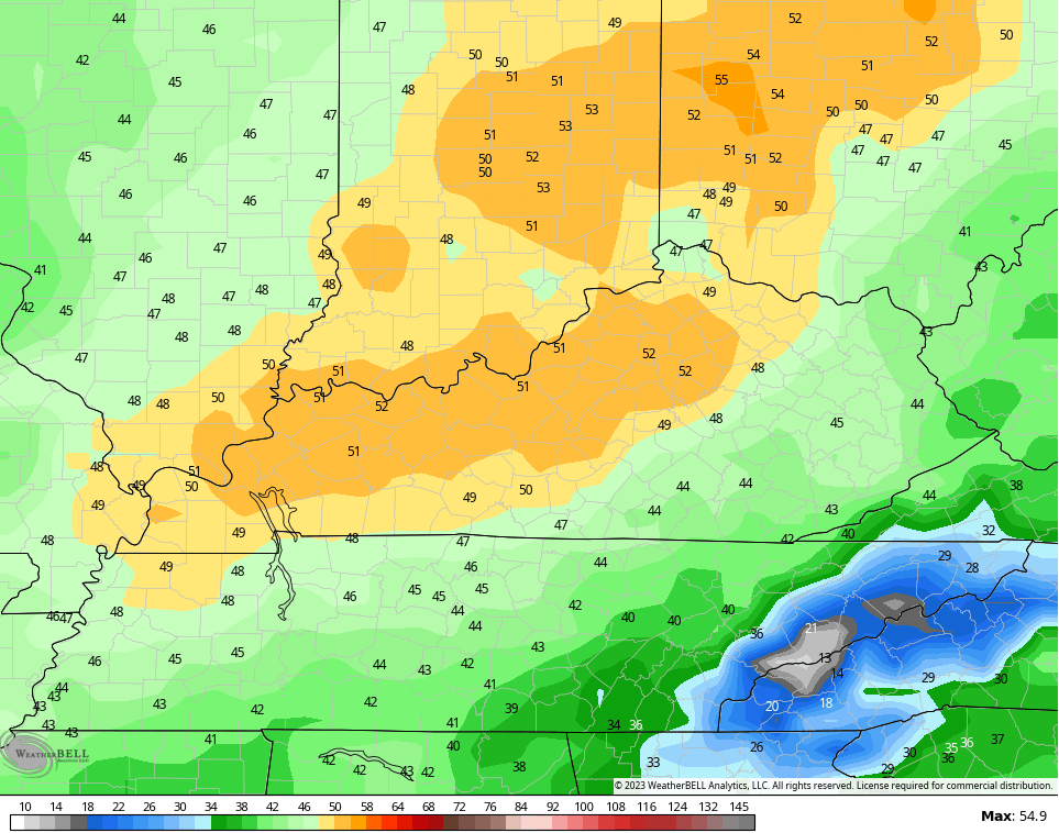
Thursday will be much better with upper 50s to low 60s on a strong southwest wind. Clouds will increase during the afternoon and evening with rain pushing into the west . This is ahead of our strong cold front moving in on Friday. Rain, gusty winds, a temp crash, and a few weekend flakes will be possible with this system…
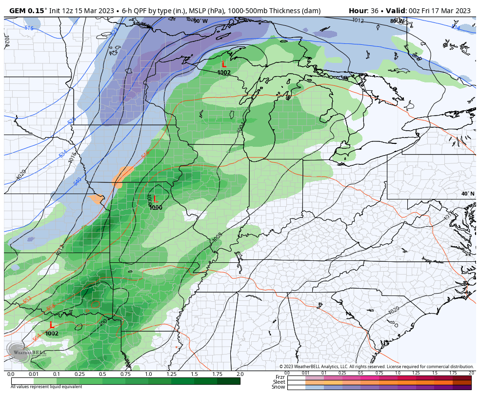
Wind gusts Thursday night and early Friday may peak between 40mph and 50mph…
Temps crash and those weekend wind chills will be brutal. Check out the numbers for Sunday morning…
Temps behind this will bounce back some early next week. What about the second storm system potential? The models have lost it for the moment and keep it well to our southeast…
That would allow for milder winds to blow and I’m here for it!! We will continue to watch this trend in the coming days.
Enjoy the evening and take care.

Thanks Chris. Seventeen degrees for the minimum temperature here in Maple. Any early flowering ornamentals are done until next Spring. One of these years we’ll have that perfect Spring, but only if our Winters are colder and longer with plenty of Snowy days.
Actually this has basically been the same forecast over the last month 1/2.
Rain followed by a few snow flakes.
Cold for a few days followed by a warming rain back to a few insignificant snow flakes.