Good evening, folks. We have a strong cold front working through the region tonight and Friday, bringing gusty winds, rain and crashing temps. This leads the charge into another frigid weekend across the Commonwealth.
Winds are a big player tonight and early Friday with gusts that may reach 50mph in a few spots. Take a look at the peak wind gust forecast from the HI RES NAM…
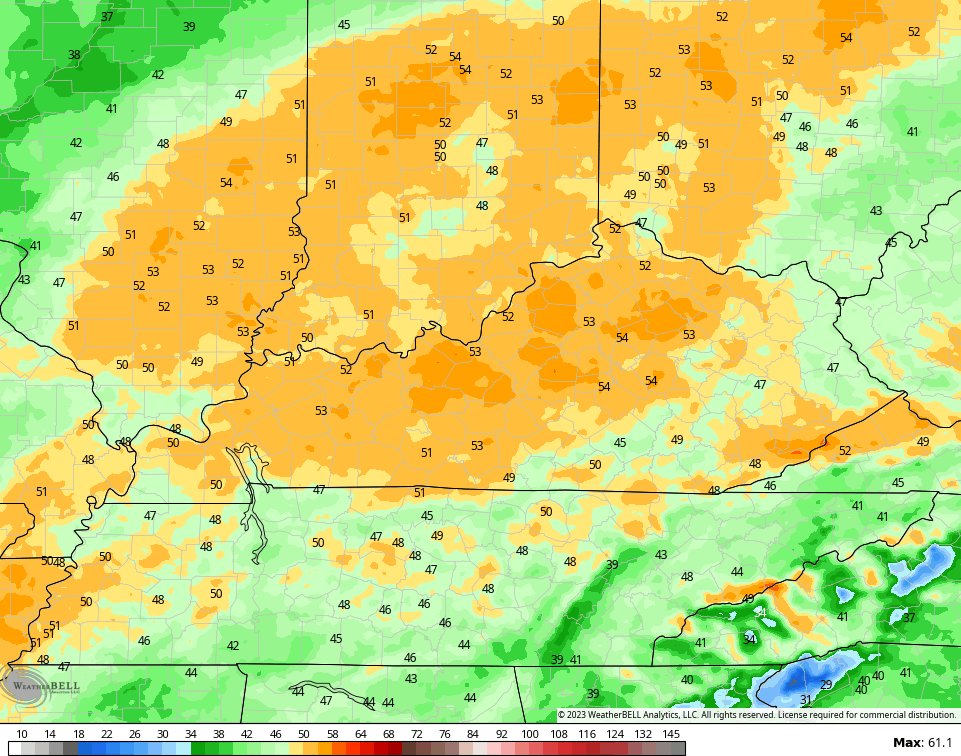
Rain sweeps across the state tonight through early afternoon Friday as temps crash. The numbers are in the 50s ahead of the front and drop quickly into the upper 30s and low 40s behind the boundary.
The cold intensifies for the weekend with 30s for highs and lows by Sunday deep into the teens. Wind chills will be around 10 degrees.
Colder than normal temps remain into early next week before we come out of it for the middle and end of the week. Temps during this time may spring it up ahead of another storm system arriving by Friday.
The models are in good agreement with this…
GFS
EURO
I leave you with your radars to track the rain from west to east across the region…

Have a great rest of the day and take care.

Thanks Chris. Maybe the last weekend we’ll have February like temperatures ?